Year-long Animations of Visible and Infrared Images
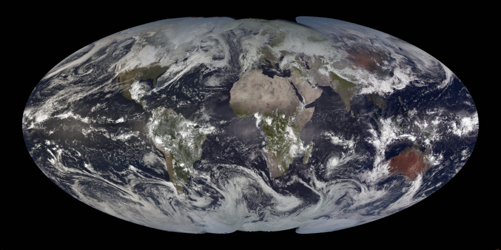
True-color visible imagery global montage from 6 March 2019 – 5 March 2020 (Click to launch containerized YouTube Vide)
A previous blog post (here) has shown 1-month animations of true-color visible imagery from geostationary satellites (GOES-16, GOES-17, Himawari-8, Meteosat-11 and others) wherein local noon longitudinal strips are blended together to create a global view. (Imagery courtesy Rick Kohrs, SSEC) (See also this blog post for an explanation). The animation above (Click it to view a YouTube animation within a container) shows visible true-color imagery for each day from 6 March 2019 through 5 March 2020.
The infrared imagery below combines the ‘clean window’ Band 13 channel on GOES-16 and GOES-17 (10.3 µm on both) with Band 13 on Himawari-8 (10.4 µm) and shows 2019 data at 6-h intervals.
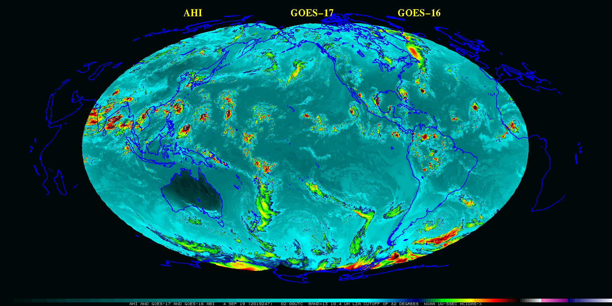
Color-enhanced Window Channel infrared (ABI: 10.3 µm; AHI: 10.4 µm) imagery from 2019 (Click to launch containerized YouTube Vide)