Wildfires in Oregon
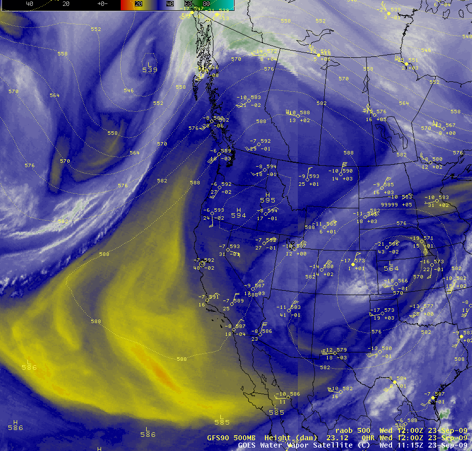
An anomalous ridge of high pressure developed across western North America on 23 September 2009, bringing hot and dry conditions to parts of the Pacific Northwest states — high temperatures at many locations in Oregon were in the 90s and low 100s F for two consecutive days. The effect of this large ridge could be seen quite well on an AWIPS composite image of the GOES-11 and GOES-12 water vapor channels (above). Stu Ostro at The Weather Channel pointed out that the 5950 meter geopotential height at Spokane, Washington at 00 UTC on 23 September is the record highest value for so far north in the US so late in the season (since the beginning of the NCEP reanalysis dataset, which goes back though 1948).
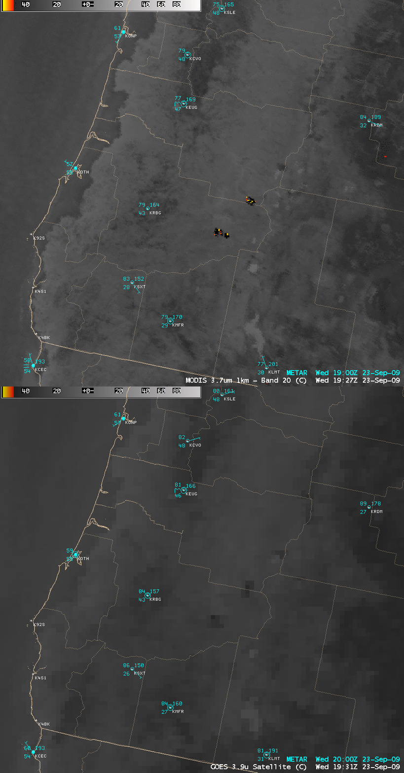
A pair of large wildfires were burning in southwestern Oregon — the “hot spots†from these 2 fires could be seen on MODIS 3.7 µm and GOES-11 3.9 µm shortwave IR images (below), located to the east of Roseburg (station identifier KRBG). The location and areal coverage of these wildfire hot spots was better depicted on the 1-km resolution MODIS image, compared to the 4-km resolution GOES-11 image; in addition, the leading edge of the marine fog/stratus that was moving inland was more accurately shown on the higher-resolution MODIS imagery.
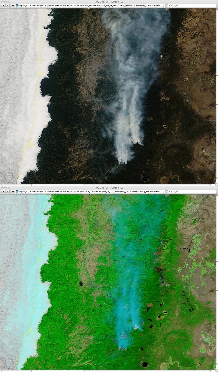
250-meter resolution MODIS true color and false color images from the SSEC MODIS Today site (below) show even better details of the smoke plumes and the marine fog/stratus. There was also evidence of some smoke remaining in a few of the valleys near the fire activity. The MODIS false color image also displays the larger active fire “hot spots” as pink-colored features at the source of the smoke plumes.
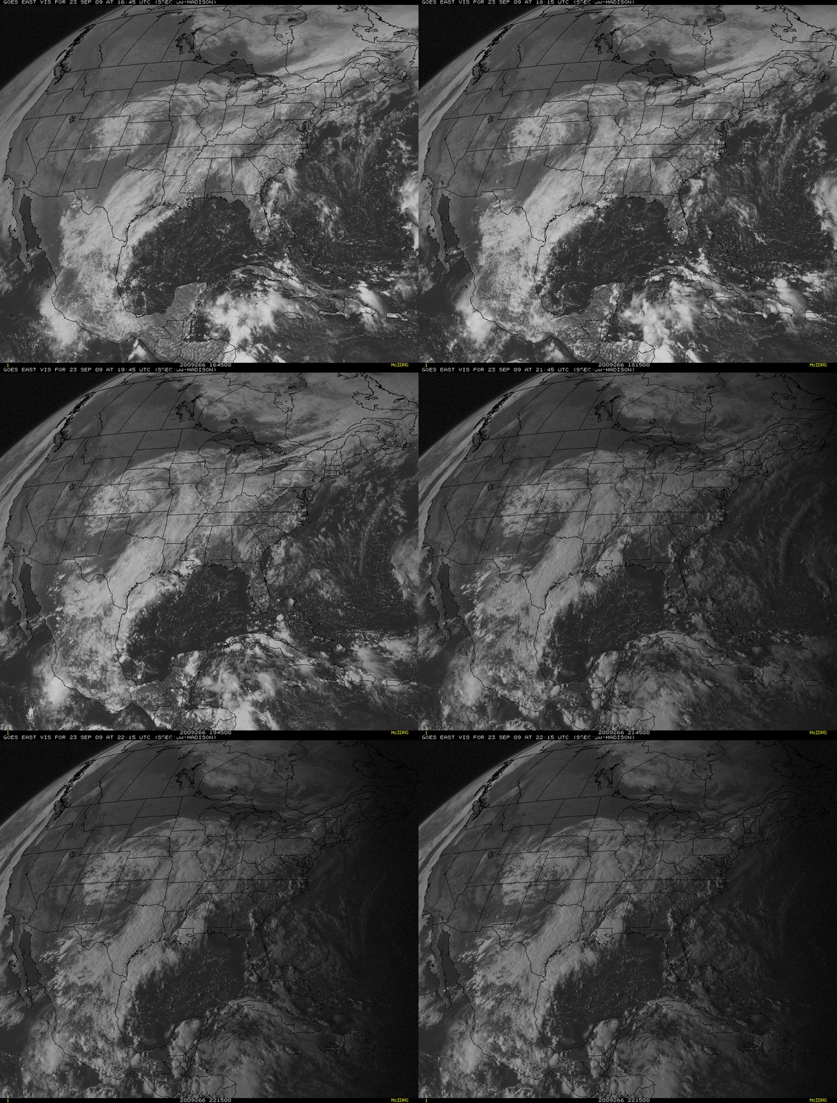
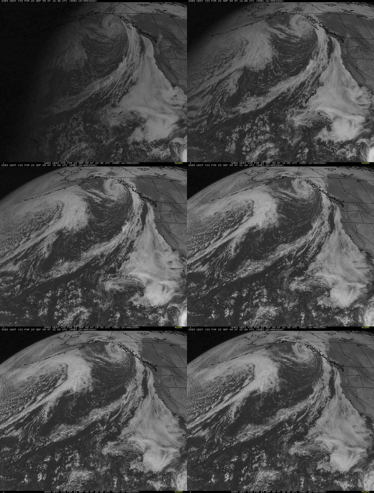
The large plumes of smoke from these Oregon fires could be seen moving northward across western Oregon and western Washington, even drifting as far to the north as southern British Columbia and Alberta in Canada. Note that the leading (northern) edge of the smoke plume was easier to identify on GOES-12 (GOES East) visible imagery (above) compared to GOES-11 (GOES West) visible imagery (below) — this is a result of the more favorable forward scattering geometry with the GOES-12 satellite. However, the more direct viewing angle of GOES-11 made it easier to see the marine fog/stratus that was moving inland along coastal sections of Washington, Oregon, and California.


