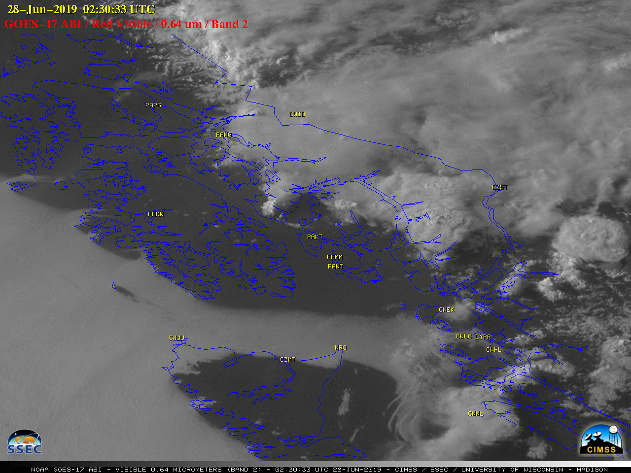
NWS Juneau, Alaska issues their first-ever Severe Thunderstorm Warning — based on satellite imagery
![GOES-17 “Red” Visible (0.64 µm) images [click to play animation | MP4]](https://cimss.ssec.wisc.edu/satellite-blog/wp-content/uploads/sites/5/2019/06/190627_goes17_visible_Juneau_AK_anim.gif)
GOES-17 “Red” Visible (0.64 µm) images [click to play animation | MP4]
The Severe Thunderstorm Warning polygon is shown below.
![Severe Thunderstorm Warning polygon [click to enlarge]](https://cimss.ssec.wisc.edu/satellite-blog/wp-content/uploads/sites/5/2019/06/190627_pajk_severe_thunderstorm_warning.png)
Severe Thunderstorm Warning polygon [click to enlarge]

GOES-17 “Clean” Infrared Window (10.35 µm) images [click to play animation | MP4]

GOES-17 “Red” Visible (0.64 µm, left) and GOES-15 Visible (0.63 µm, right) images [click to play animation | MP4]
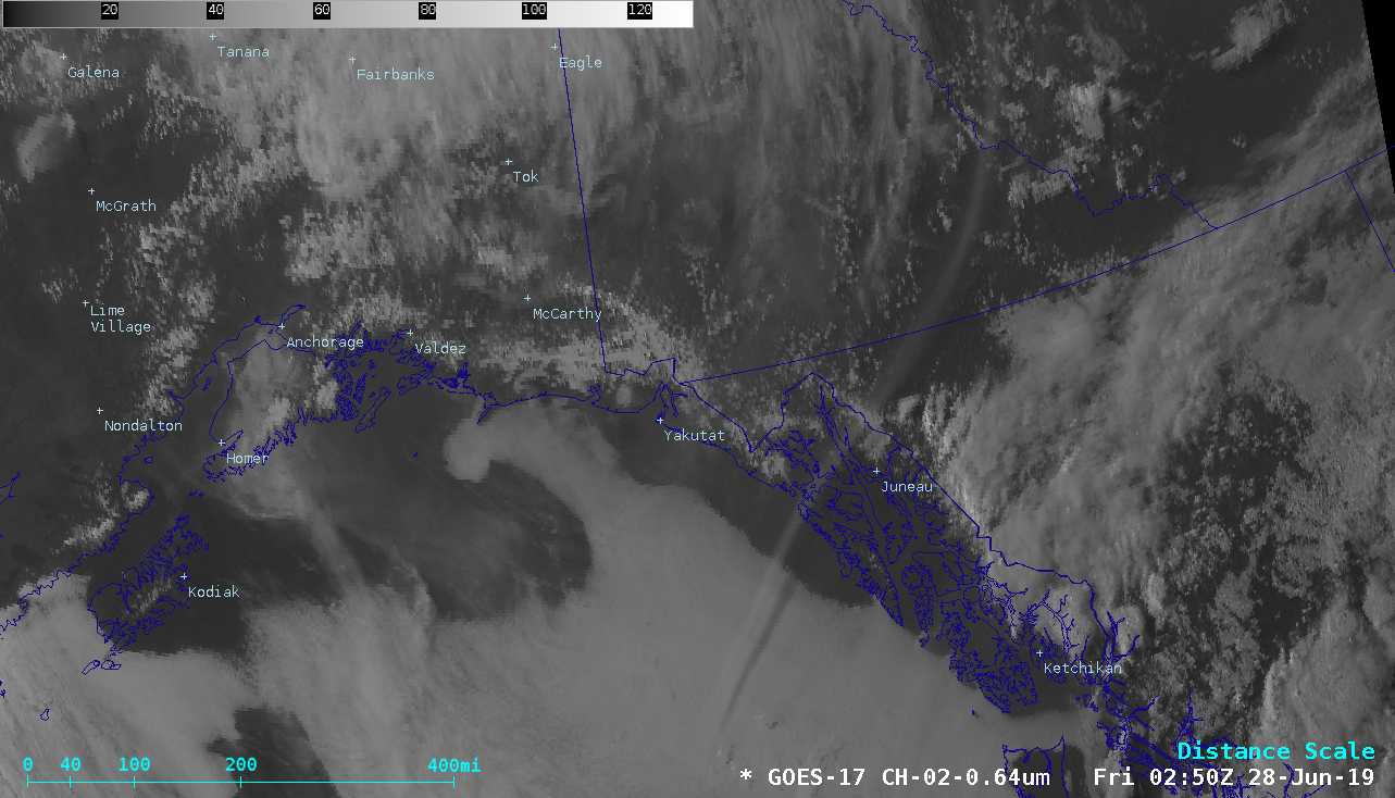
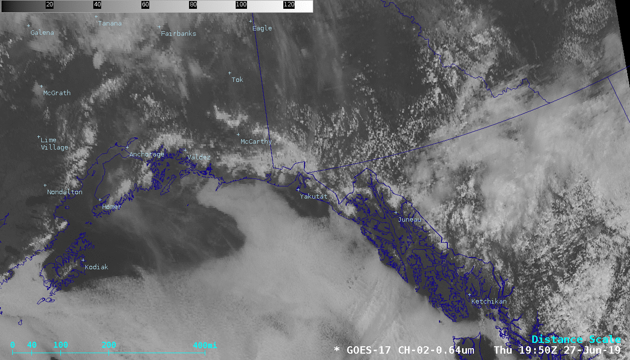
On a side note, a larger-scale view of GOES-17 Visible imagery (below) showed a curious thin elongated feature moving southwestward from Yukon across the Alaska Panhandle to the Gulf of Alaska, which became more obvious later in the day as the lower sun angle increased forward scattering. This feature was casting a shadow onto the marine boundary layer stratus clouds over the Gulf of Alaska (0250 UTC image).
![GOES-17 “Red” Visible (0.64 µm) images [click to play animation | MP4]](https://cimss.ssec.wisc.edu/satellite-blog/wp-content/uploads/sites/5/2019/06/190627_goes17_visible_AK_anim.gif)
GOES-17 “Red” Visible (0.64 µm) images [click to play animation | MP4]
![GOES-17 Near-Infrared “Cirrus” (1.38 µm) images [click to play animation | MP4]](https://cimss.ssec.wisc.edu/satellite-blog/wp-content/uploads/sites/5/2019/06/190627_goes17_cirrus_AK_anim.gif)
GOES-17 Near-Infrared “Cirrus” (1.38 µm) images [click to play animation | MP4]