Stationary linear boundary over the Pacific Ocean
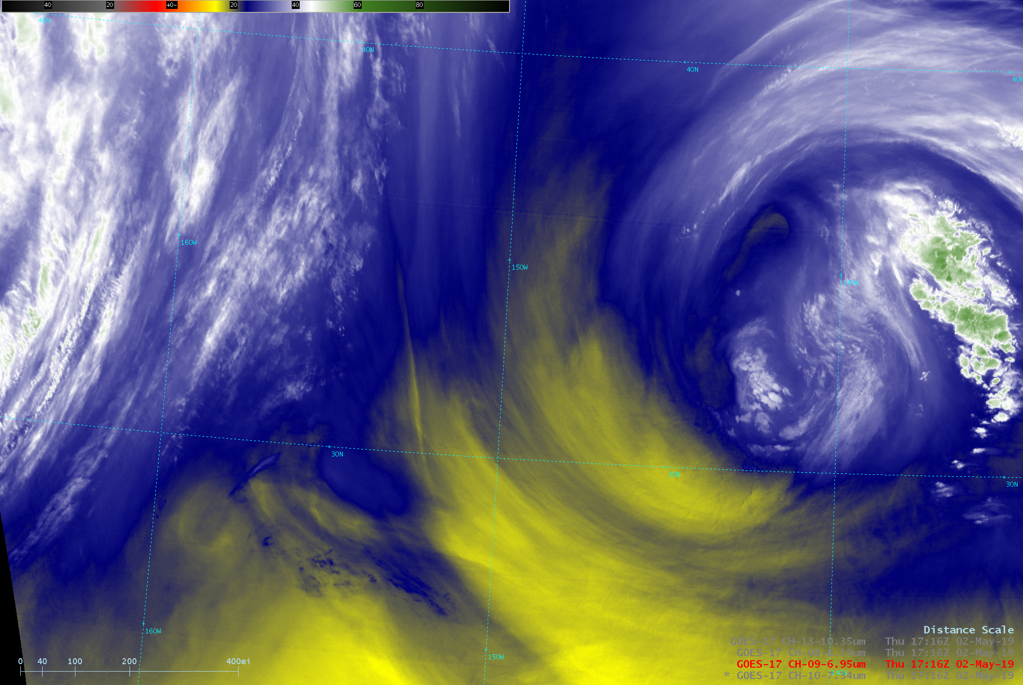
GOES-17 Low-level Water Vapor (7.3 µm), Mid-level Water Vapor (6.9 µm), Upper-level Water Vapor (6.2 µm) and “Clean” Infrared Window (10.3 µm) images [click to play MP4 animation]
One possible explanation for the curious stationary feature was that it resulted from a convergence of flow around the cutoff low to the east and a digging trough approaching from the west. GOES-15 Infrared cloud-tracked Derived Motion Winds from the CIMSS Tropical Cyclones site (below) did show evidence of some converging flow in that region. Derived Motion Winds from GOES-17 were still in the Beta stage, and were not available for display in AWIPS.
![GOES-15 Infrared cloud-tracked Derived Motion Winds [click to enlarge]](https://cimss.ssec.wisc.edu/satellite-blog/wp-content/uploads/sites/5/2019/05/190502_goes15_infrared_winds_Pacific_anim.gif)
GOES-15 Infrared cloud-tracked Derived Motion Winds [click to enlarge]