Twin Typhoons in the western Pacific
![Himawari-8 10.35 µm IR images [click to play animated GIF]](https://cimss.ssec.wisc.edu/satellite-blog/wp-content/uploads/sites/5/2015/08/1200x1600_AHIM08_B13_TWINTYPHOON_animated_2015229_120000_86_2015229_235000_86_IR4AVHRR4.gif)
Himawari-8 10.35 µm IR images [click to play animated GIF]
![Satellite-derived Wind Shear over the Pacific Ocean, 1800 UTC 17 August 2015 [click to enlarge]](https://cimss.ssec.wisc.edu/satellite-blog/wp-content/uploads/sites/5/2015/08/GONI_ATSANI_wgmsshr.GIF)
Satellite-derived Wind Shear over the Pacific Ocean, 1800 UTC 17 August 2015 [click to enlarge]
![MTSAT-2 infrared (10.8 µm) and DMSP SSMIS microwave (85 GHz) images of Typhoon Atsani [click to enlarge]](https://cimss.ssec.wisc.edu/satellite-blog/wp-content/uploads/sites/5/2015/08/150817_2032utc_mtsat_ir_ssmis_mw_Atsani_anim.gif)
MTSAT-2 infrared (10.8 µm) and DMSP SSMIS microwave (85 GHz) images of Typhoon Atsani [click to enlarge]
![MIMIC-TC product for Typhoon Atsani [click to enlarge]](https://cimss.ssec.wisc.edu/satellite-blog/wp-content/uploads/sites/5/2015/08/150816-17_MIMIC_Atsani_erc_anim.gif)
MIMIC-TC product for Typhoon Atsani [click to enlarge]
![MIMIC-TC product for Typhoon Goni [click to enlarge]](https://cimss.ssec.wisc.edu/satellite-blog/wp-content/uploads/sites/5/2015/08/150816-17_MIMIC_Goni_erc_anim.gif)
MIMIC-TC product for Typhoon Goni [click to enlarge]
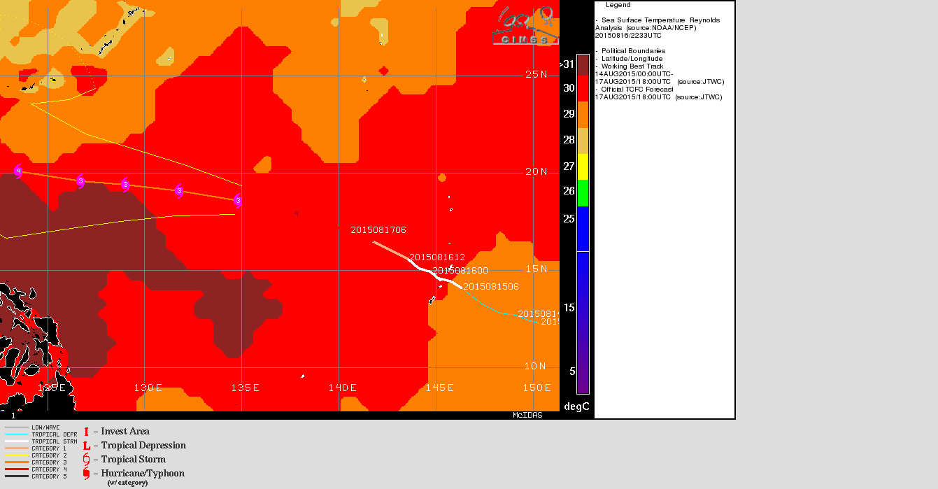
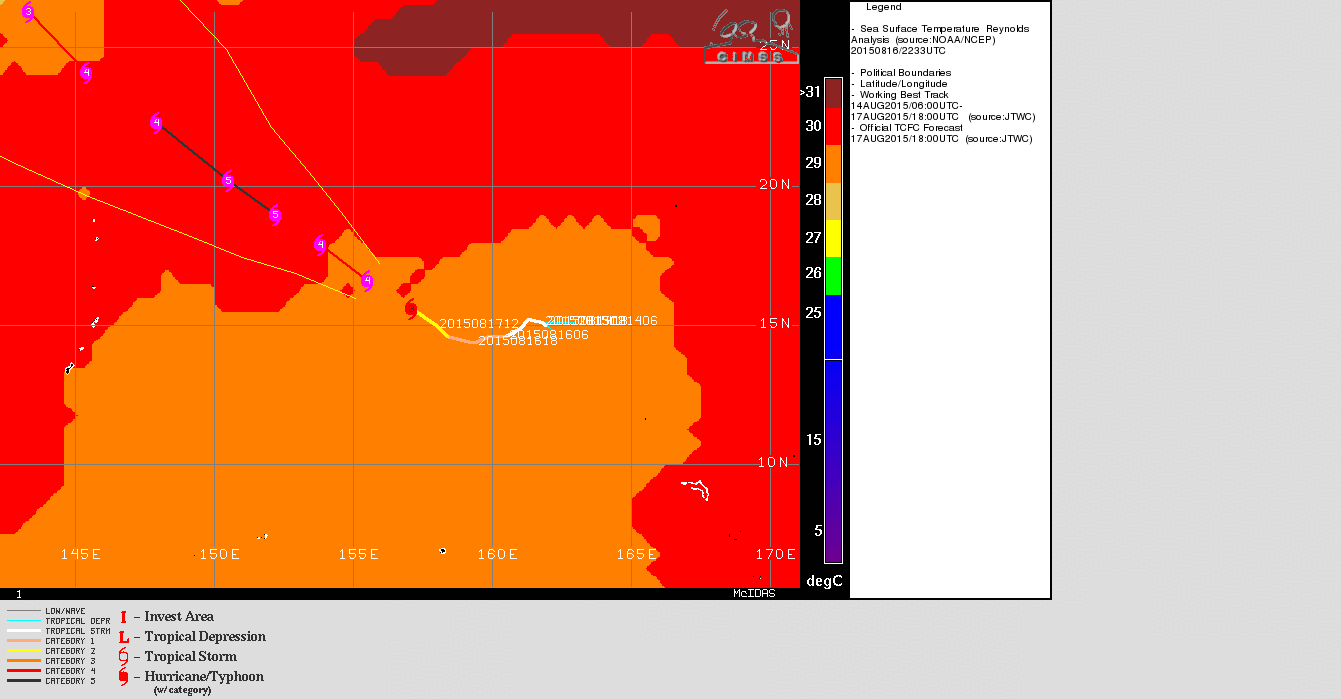
A multi-day YouTube animation of Himawari-8 10.35 µm infrared imagery shows the upscale development of Goni and Atsani in the central Pacific. The loop runs from 13 August through 1200 UTC on 18 August.