Atmospheric Bore between the Grand Banks and New England
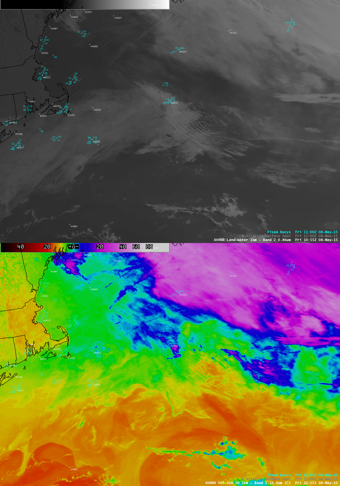
Atmospheric Bores form in stable air and create horizontal cloud bands that propagate perpendicular to the along-band direction. The feature seen above in GOES-13 visible imagery formed in stable air south of a High Pressure system that pushed a backdoor cold front into New England (surface analyses). The southern edge of this bore was likely eroding as it became influenced by warmer less-stable air over with the Gulf Stream — the warm waters of the Gulf Stream were apparent in the toggle, below, of POES AVHRR 0.86 µm visible and 12.0 µm infrared imagery at 1055 UTC. The bore was apparently moving over the top of a shallow layer of sea fog that had formed in the colder waters north of the Gulf Stream.

POES AVHRR 0.86 µm Visible image and 12.0 µm Infrared image at 1055 UTC on 8 May 2015 (click to enlarge)
Suomi NPP overflew the area at ~1800 UTC, affording a very high resolution view of the bore structures with the VIIRS 0.65 µm visible channel, below.
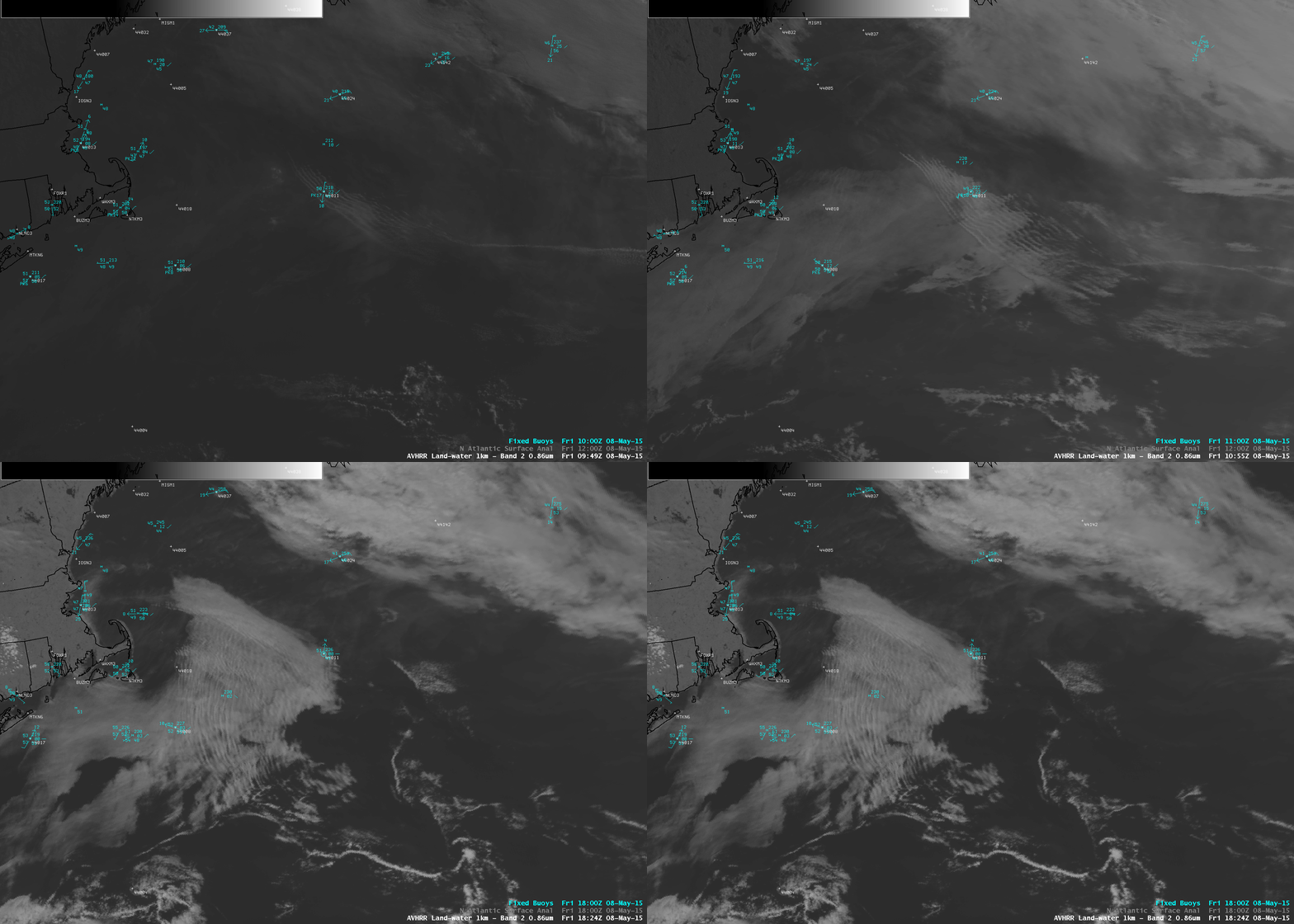
The daytime propagation of the bore feature could also be followed on POES AVHRR 0.86 µm visible channel images, shown below.


