Thunderstorms over Arizona: turbulence, hail, and damaging winds

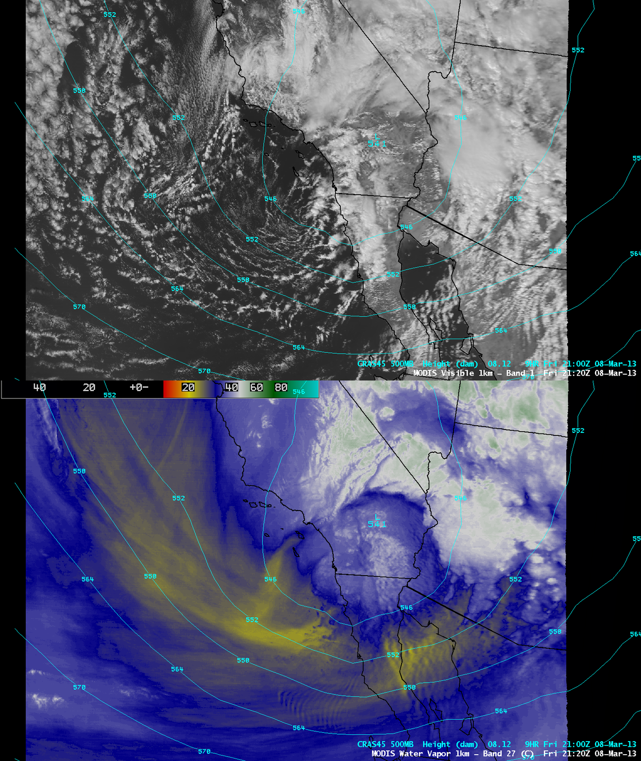
MODIS 0.65 µm visible channel and 6.7 µm water vapor channel images (with CRAS model 500 hPa geopotential height contours)
AWIPS images of MODIS 0.64 µm visible channel and 6.7 µm water vapor channel images with an overlay of CRAS model 500 hPa geopotential height contours (above) showed an upper-level trough of low pressure that was moving inland across southern California and Arizona on 08 March 2013.

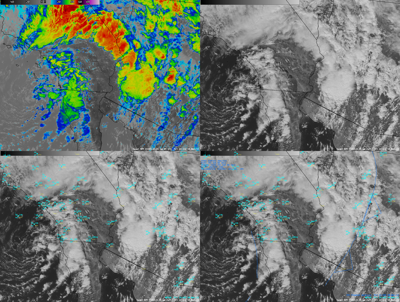
Suomi NPP VIIRS 0.64 µm visible channel and 11.45 µm IR channel images (with surface reports and surface fronts)
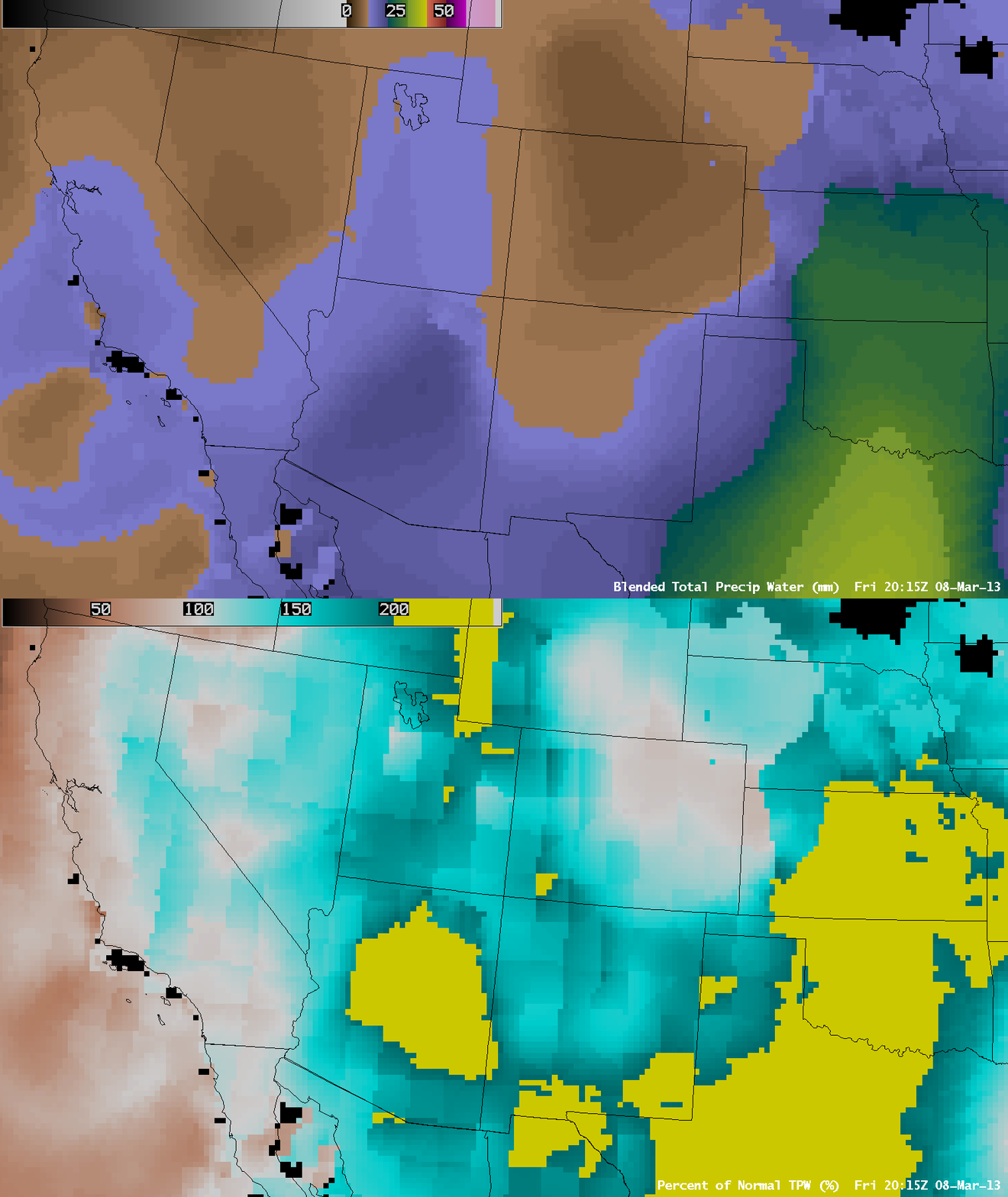
A comparison of Suomi NPP VIIRS 0.64 µm visible channel and 11.45 µm IR channel images (above) showed that widespread thunderstorms had developed on either side of a cold frontal boundary that was moving eastward across Arizona. The Blended Total Precipitable Water (TPW) product (below) indicated that TPW values were as high as 20 mm or 0.79 inch over much of Arizona, which was in excess of 200% or normal for this time of the year. With unseasonably high moisture in place, these thunderstorms produced a daily record rainfall of 0.84 inch at Phoenix, with several locations in the Phoenix area receiving over 1 inch of precipitation (Public Information Statement). Hail up to 0.5 inch in diameter was reported — in some cases the hail accumulated to the point of totally covering the ground — and winds gusted to 45-55 mph at several locations.
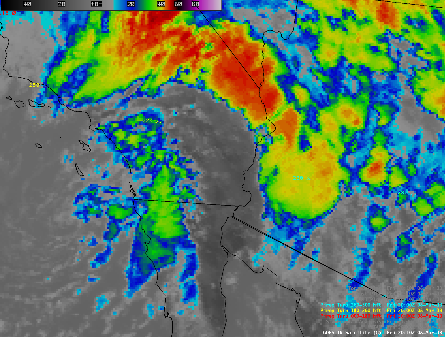
In addition to heavy rainfall, hail, and damaging surface winds, there were several pilot reports of turbulence. Particularly noteworthy were a pilot report of Severe turbulence at an altitude of 28,000 feet, and a pilot report of Severe to Extreme turbulence at an altitude of 11,000 feet. Both of these turbulence reports appeared to be associated with convective cells that were growing rapidly, as seen with GOES-13 10.7 µm IR channel images (below; click image to play animation).

GOES 15/13 10.7 µm IR channel images with pilot reports of turbulence (click image to play animation)


