Tropical Storm Isaac in the Gulf of Mexico
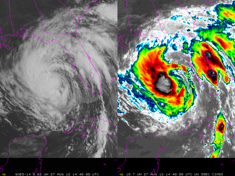
Tropical Storm Isaac continues a track towards the central Gulf Coast of the United States (See the National Hurricane Center for further information). The GOES-14 animation above, with images shown every 5 minutes over the course of 5 hours, suggests that intensification has not occurred despite the presence of very warm waters (and low shear) over the Gulf of Mexico. The lack convective clouds over the eastern Gulf suggest the presence of relatively dry air that will inhibit development. Water Vapor imagery from this morning does suggest that any moisture between Isaac and south Florida is relatively shallow in the atmosphere (as evidenced by the warmer temperatures in the Water Vapor channel east and south of Isaac).
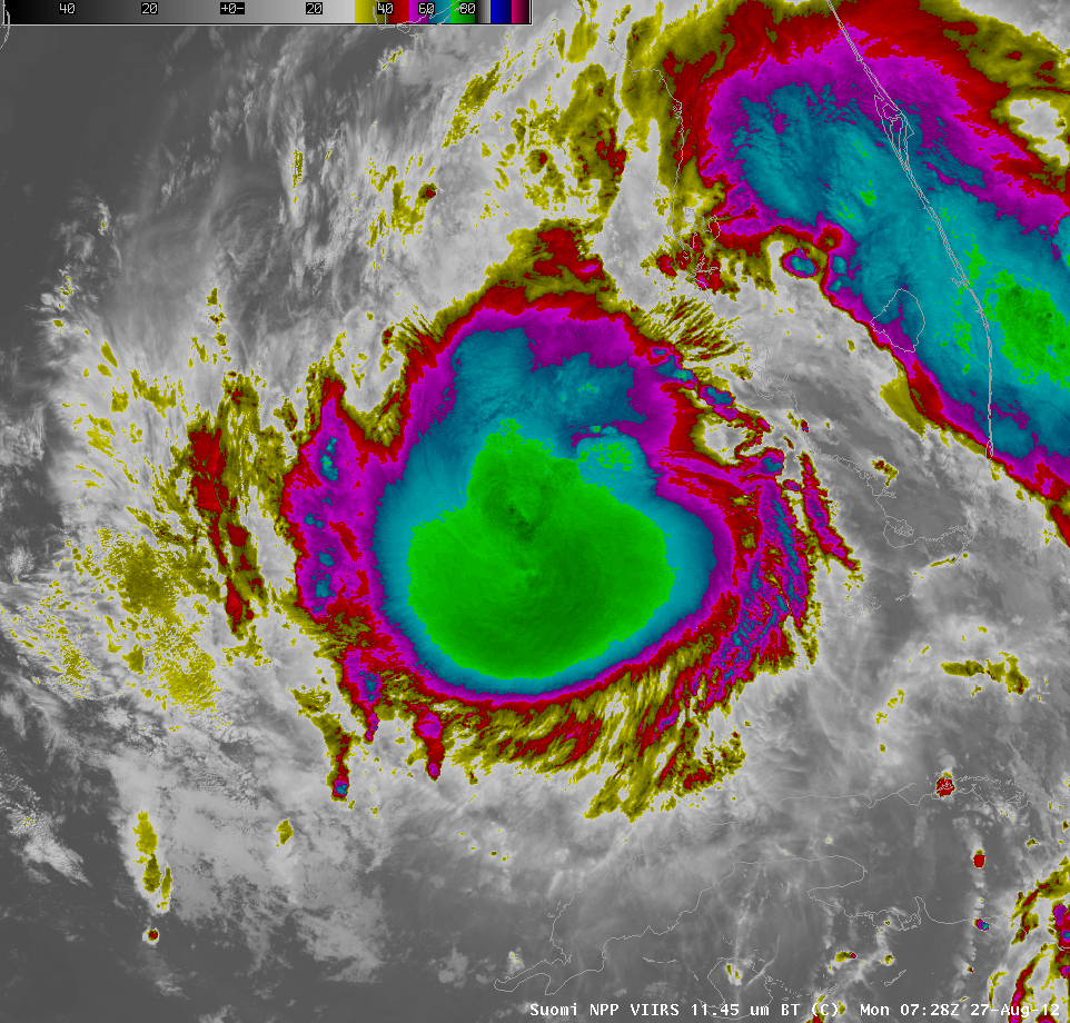
Convection associated with Isaac does have very cold cloud tops. The 11.45 µm imagery, above, from VIIRS on board Suomi/NPP shows a large area of cloud tops near -80 C.
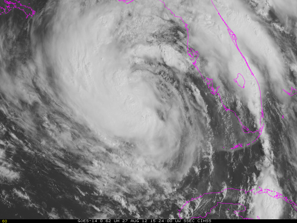
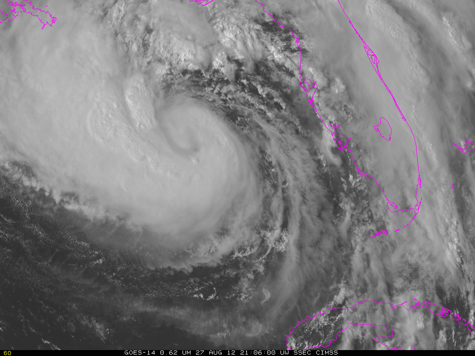
GOES-14 continues SRSOR operations (as detailed here). The loop above covers a little more than an hour over Isaac on August 27. The region of white that does not move around the Florida Keys is turbid water that has resulted from storm winds. Clouds in the relatively dry air in that region are streaming north. Ongoing deep convection persists near the storm center. A loop from later in the day (below), continues to show dry air east of and very close to the storm center, but improved storm organization nevertheless.


