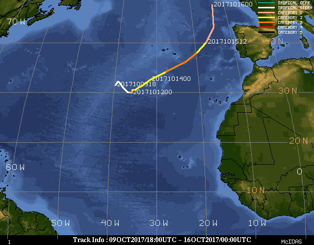
Ex-hurricane Ophelia over Ireland and the United Kingdom
![Meteosat-10 Water Vapor (6.25 µm) images, with hourly surface wind gusts (knots) plotted in red [click to play MP4 animation]](https://cimss.ssec.wisc.edu/satellite-blog/wp-content/uploads/sites/5/2017/10/960x1280_AMET10_B5_MET10_WV_OPHELIA_16OCT2017_2017289_071500_0001PANEL.GIF)
Meteosat-10 Water Vapor (6.25 µm) images, with hourly surface wind gusts (knots) plotted in red [click to play MP4 animation]
![Meteosat-10 Water Vapor (7.35 µm) images, with hourly surface wind gusts (knots) plotted in red [click to play MP4 animation]](https://cimss.ssec.wisc.edu/satellite-blog/wp-content/uploads/sites/5/2017/10/960x1280_AMET10_B6_MET10_B6_WV_OPHELIA_16OCT2017_2017289_071500_0001PANEL.GIF)
Meteosat-10 Water Vapor (7.35 µm) images, with hourly surface wind gusts (knots) plotted in red [click to play MP4 animation]
![Time series plot of surface data from Cork, Ireland [click to enlarge]](https://cimss.ssec.wisc.edu/satellite-blog/wp-content/uploads/sites/5/2017/10/171016_EICK_SFCMG.GIF)
Time series plot of surface data from Cork, Ireland [click to enlarge]
![Time series plot of surface data from Valley, United Kingdom [click to enlarge]](https://cimss.ssec.wisc.edu/satellite-blog/wp-content/uploads/sites/5/2017/10/171016_EGOV_SFCMG.GIF)
Time series plot of surface data from Valley, United Kingdom [click to enlarge]
———————————————————————————-
![Terra and Aqua MODIS true-color images [click to enlarge]](https://cimss.ssec.wisc.edu/satellite-blog/wp-content/uploads/sites/5/2017/10/171016_terra_aqua_modis_ex_ophelia_anim.gif)
Terra and Aqua MODIS true-color images [click to enlarge]
In fact, blowing sand was observed about 3 hours later at Isle of Man, from 1520-1620 UTC — during that time period their surface winds gusted to 68 knots (78 mph), and surface visibility was reduced to 2.2 miles (below).
![Time series plot of surface data from Isle of Man [click to enlarge]](https://cimss.ssec.wisc.edu/satellite-blog/wp-content/uploads/sites/5/2017/10/171016_EGNS_SFCMG.GIF)
Time series plot of surface data from Isle of Man [click to enlarge]