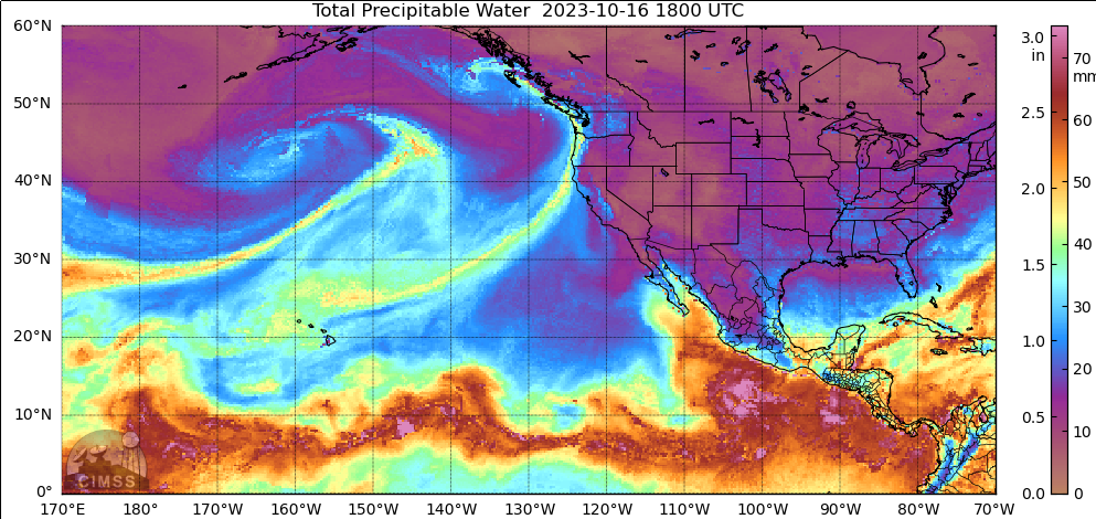
Add Level 2 Products to satellite imagery to understand the atmosphere
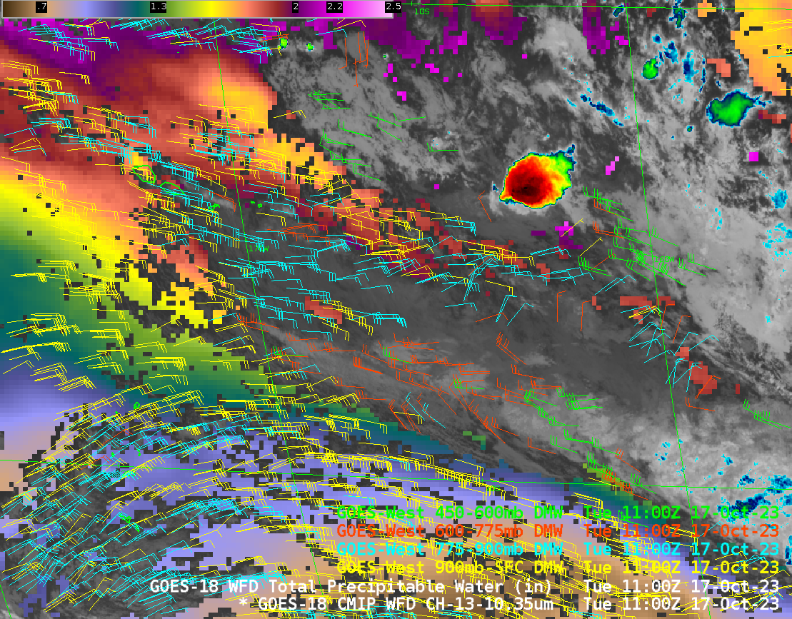
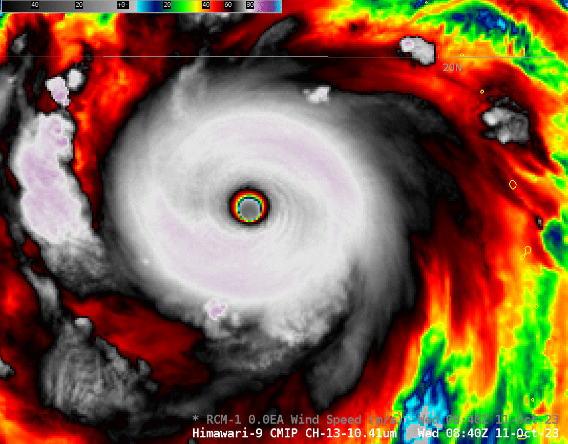
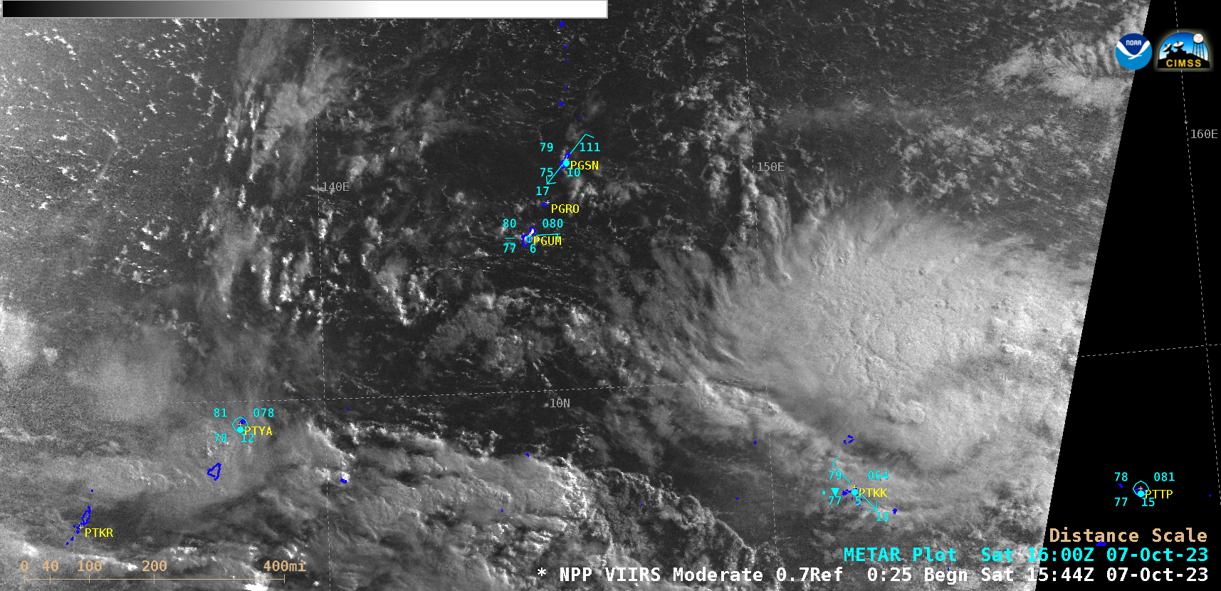
GOES-R Satellites (GOES-16 as GOES-East and GOES-18 as GOES-West) provide single-channel observations, such as the clean window infrared image above that can be used to identify features. In the example above, a mid-level cloud deck stretches southeastward from the Samoan islands that surround 170oW Longitude. Higher clouds with with embedded... Read More