Smoke in the Gulf of Mexico, and dust in the Gulf of California
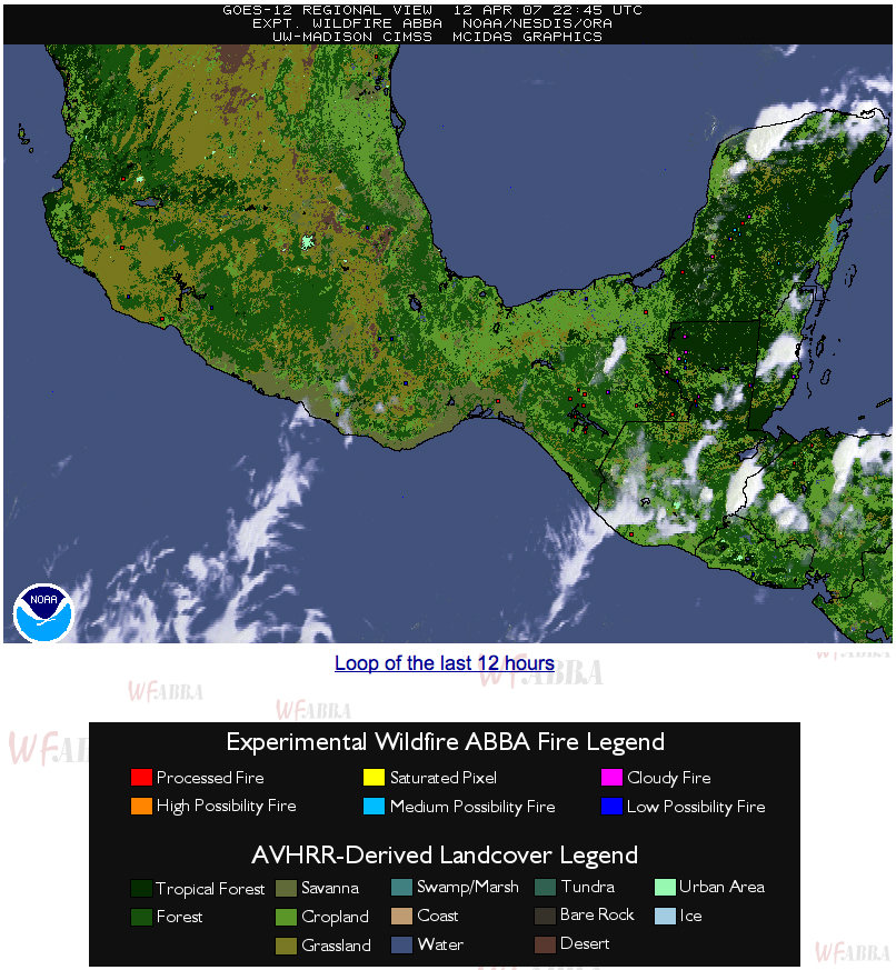
The MODIS Aerosol Optical Depth (AOD) product from the IDEA site (above) showed elevated AOD values over the western Gulf of Mexico on 13 April 2007. This AOD signal (note the hazy appearance on MODIS true color imagery) was due to smoke from agricultural fires that had been burning the previous day in the Yucatan region of Mexico and also in Guatemala. The CIMSS GOES-12 Wildfire ABBA product (below) indicated an increasing number of fire pixels in that area on 12 April; the NOAA Hazard Mapping System (HMS) daily composite from that day also exhibited a significant number of fire pixels in that region (with a large smoke pall drifting over the Gulf of Mexico). A second area of elevated MODIS AOD values was observed over the Gulf of California (MODIS true color image) — this particular AOD signal was due to airborne dust that was lofted into the lower troposphere by strong winds (gusting as high as 86 mph in southern California) associated with a large storm system that was intensifying across the southern Rockies and southern Plains. A QuickTime animation of GOES-12 visible channel images indicated that the dust in the Gulf of California was being transported southward, while the smoke in the Gulf of Mexico was being transported northward.


