GOES-14 SRSO-R: central Montana wildfire
![GOES-15 (left), GOES-14 (center), and GOES-13 (right) 3.9 µm shortwave IR images [click to play MP4 animation]](https://cimss.ssec.wisc.edu/satellite-blog/wp-content/uploads/sites/5/2015/08/150815_G15_G14_G13_MT_FIRE_049.GIF)
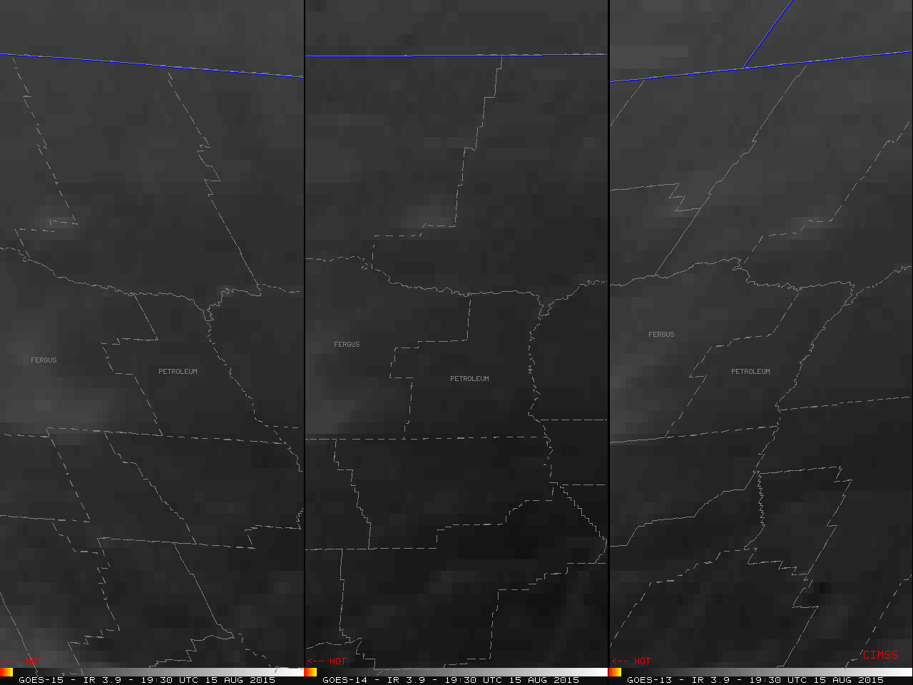
GOES-15 (left), GOES-14 (center), and GOES-13 (right) 3.9 µm shortwave IR images [click to play MP4 animation]
For the central Montana wildfire, the first unambiguous signature of a darker black wildfire hot spot began to appear on each satellite after about 1945 UTC, with the first color-enhanced pixels (signifying a shortwave IR brightness temperature of 331.9 K) showing up on the 2026 UTC GOES-14 image. The hottest fire pixel on the GOES-15 images was 336.5 K at 2130 UTC, while the hottest fire pixel on GOES-13 images was 329.8 K at 2125 UTC. From 2120 to 2130 UTC, the hottest GOES-14 fire pixels were 341.2 K (the saturation temperature of the 3.9 µm detectors on that satellite).
With the finer spatial resolution of the shortwave IR detectors on the polar-orbiting MODIS (1-km) and VIIRS (375-meter) instruments, a fire hot spot was first detected on the 1857 UTC VIIRS image (below).
![Terra/Aqua MODIS and Suomi NPP VIIRS 3.7 µm shortwave IR images [click to enlarge]](https://cimss.ssec.wisc.edu/satellite-blog/wp-content/uploads/sites/5/2015/08/150815_modis_viirs_shortwaveIR_MT_wildfire_anim.gif)
Terra/Aqua MODIS and Suomi NPP VIIRS 3.7 µm shortwave IR images [click to enlarge]