West Fork and East Park fires in southern Colorado
Two large fires burning in southern Colorado began to produce pyrocumulonimbus clouds and very large smoke plumes, as seen on GOES-13 0.63 µm visible channel (top panels) and 3.9 µm shortwave IR images (bottom panels) on 19 June (above; click image to play animation) and on 20 June 2012 (below; click image to play animation). The larger fire on the left is the West Fork Complex, while the smaller fire on the right is the East Park fire.
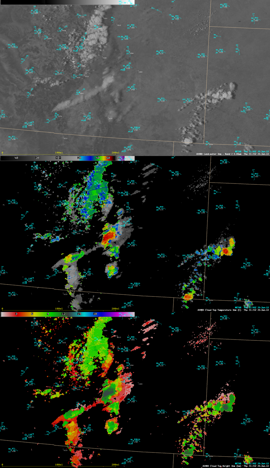
A comparison of AWIPS images of POES AVHRR 0.86 µm visible channel, Cloud Top Temperature (CTT) product, and Cloud Top Height (CTH) product at 21:25 UTC (below) showed that CTT values just downstream of the fire source were as cold as -60 C (darker red color enhancement), where CTH values were as high as 12 km (darker green color enhancement).
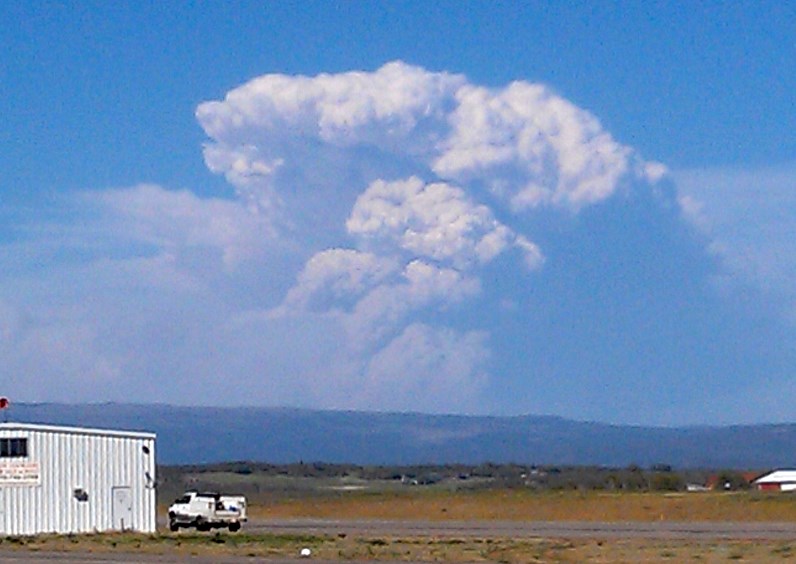
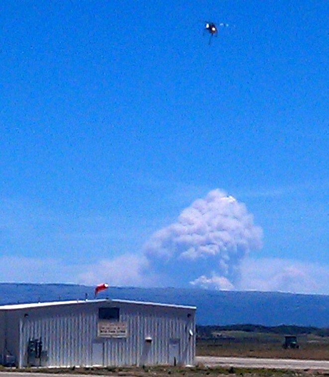
Some photos of the West Fork Complex pyrocumulonimbus clouds are shown below, from the Wildfire Today site.
 ===== 21 June Update =====
The West Fork fire complex continued to burn at an explosive rate on 21 June — a comparison of GOES-15 (left panels) and GOES-13 (right panels) 0.63 µm visible channel and 3.9 µm shortwave IR channel images ((above; click image to play animation) showed two very large smoke plumes with pyrocumulonimbus (pyroCb) clouds forming near the source of the fires.
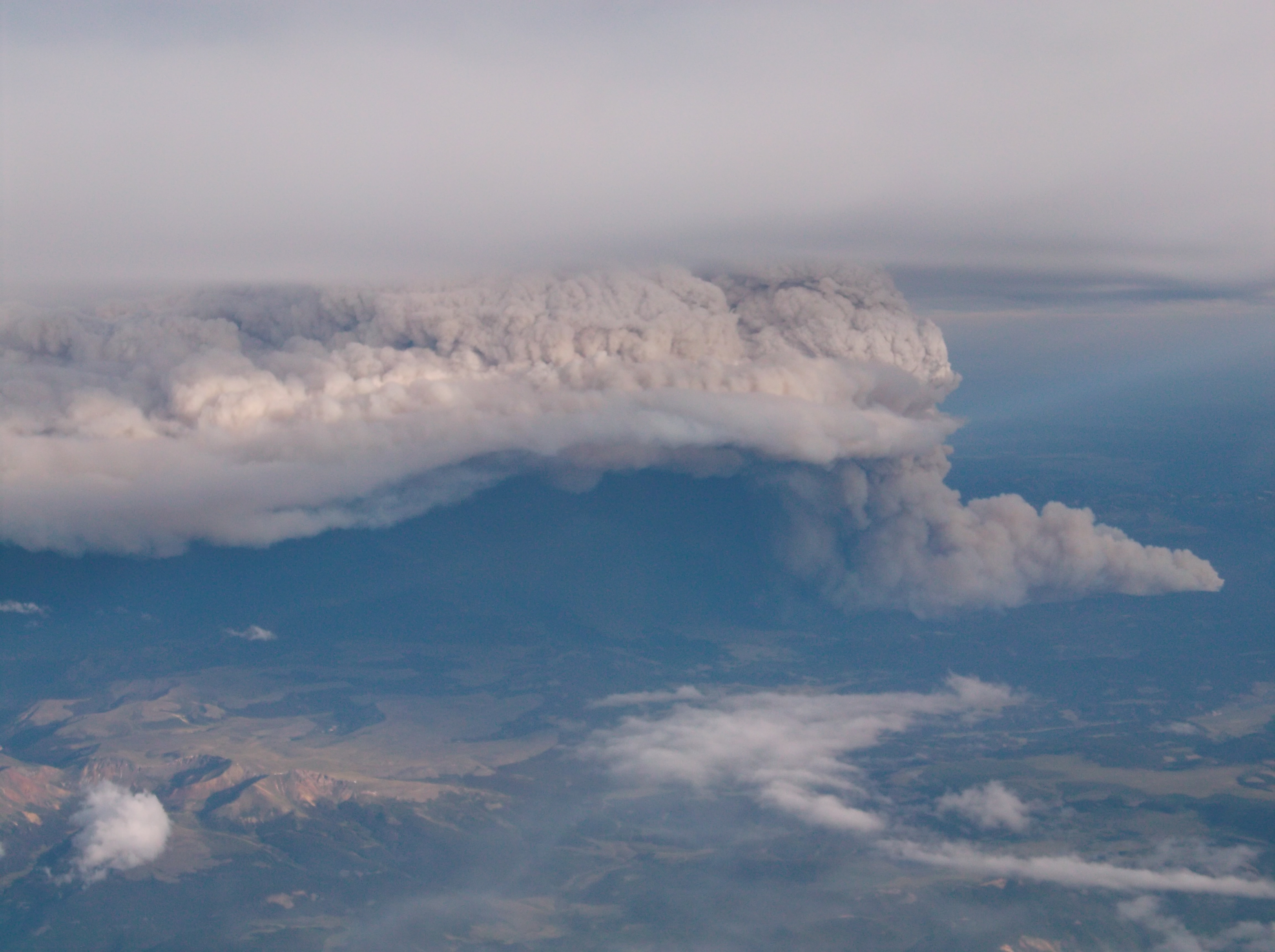
A layer of high cirrus clouds began to move over the fire region later in the afternoon and early evening (01 UTC satellite images), masking the view of the pyroCb clouds and smoke plumes; however, the fire “hot spots” (red enhanced pixels) could still be sensed through the veil of high clouds. At around 01:04 UTC, a fantastic photo (photo 2 | photo 3 | photo 4) of the fire was taken by Luis Rosa (NWS San Juan Puerto Rico) from a passenger aircraft flying at 35,000 feet which showed the northernmost pyroCb cloud — likely the Papoose Fire –Â beneath the cirrus cloud layer (below).


