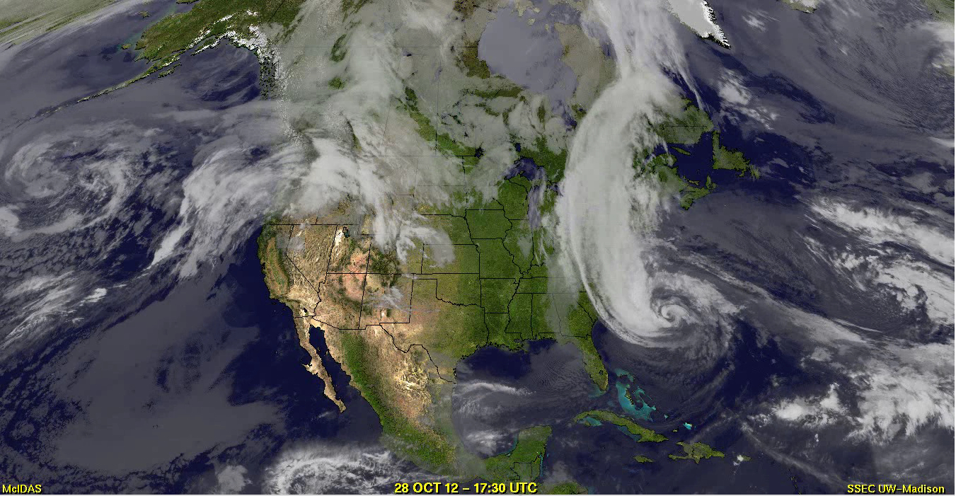
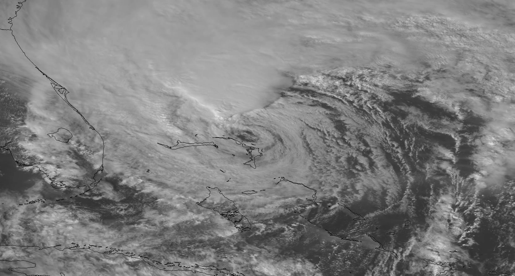
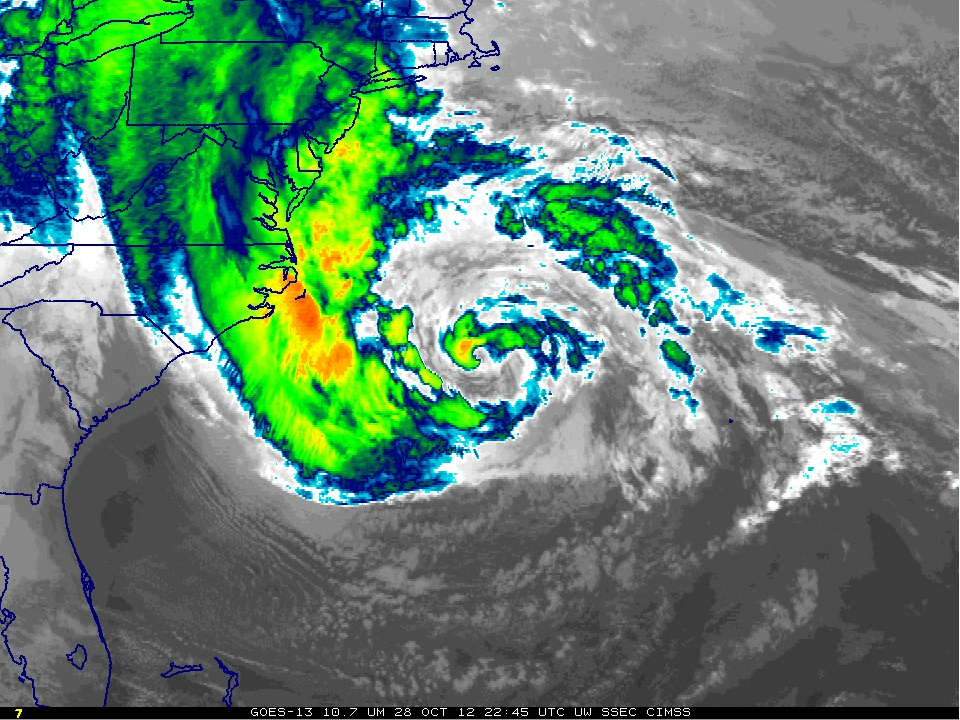
Hurricane Sandy Life Cycle from GOES-13 and GOES-14
GOES-13 (GOES-East), in geostationary orbit at the Equator and 75 W longitude, was well-positioned to capture the entire lifecycle of Hurricane Sandy. An animation of 10.7 µm IR images is shown above, at 3-hourly time steps, from incipient tropical wave, to a hurricane hitting Jamaica, to a system with an almost subtropical storm appearance off Florida. Note the relentless expansion of the system as it moves towards the northeast part of the US.
Another view of a portion of the lifecyle of Sandy is shown below, with GOES-13 6.5 µm water vapor channel images at 1-hour intervals during the 24 October – 30 October period. This water vapor animation is also available as a QuickTime movie.
===== 31 October Update =====
In addition to the GOES-13 perspective, here are 2 other examples that show the life cycle of Hurricane Sandy: a GOES-West / GOES-East composite of IR images covering the period 24-31 October (above; click image to play QuickTime movie), and GOES-14 Super Rapid Scan Operations (SRSO) 1-minute interval daytime visible images during the 25-31 October period (below; click image to play YouTube video). For the best YouTube viewing experience, click on the “Change quality’ icon immediately below the images and select “1080p HD” as the resolution, then put the video into Full Screen mode. The source QuickTime video of GOES-14 SRSO visible imagery is here.
Another way to visualize the life cycle of Sandy is to examine a Lagrangian animation, where the GOES-13 10.7 µm IR images remain centered over the core of the storm (below; click image to play animation; also available as a QuickTime movie or on YouTube).


