Hurricane Sandy moves north of the Bahamas

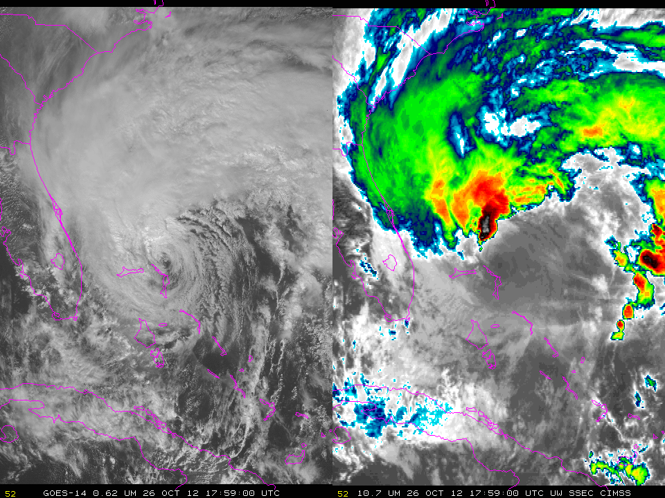
GOES-14 0.63 µm visible channel images and 10.7 µm infrared channel images (click image to play animation)
SRSO-R operations continue today with GOES-14, allowing for very high temporal resolution imaging of a sheared Hurricane Sandy as it moves away from the Bahamas. The exposed low-level circulation is apparent in the imagery, as well as strong convection north and west of the low-level center. A closer view of the exposed low-level circulation can be seen in this QuickTime movie of GOES-14 visible imagery.
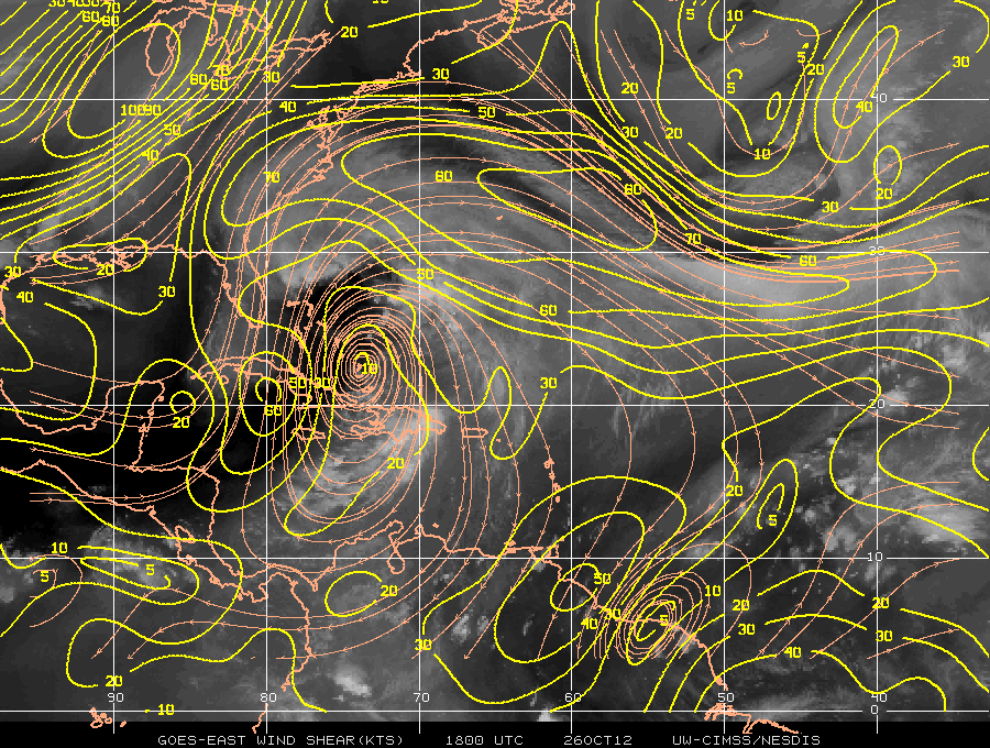
A map of deep layer wind shear, below, from the CIMSS Tropical Cyclones site, shows strong shear associated with an upper level low pressure system south and west of Sandy.
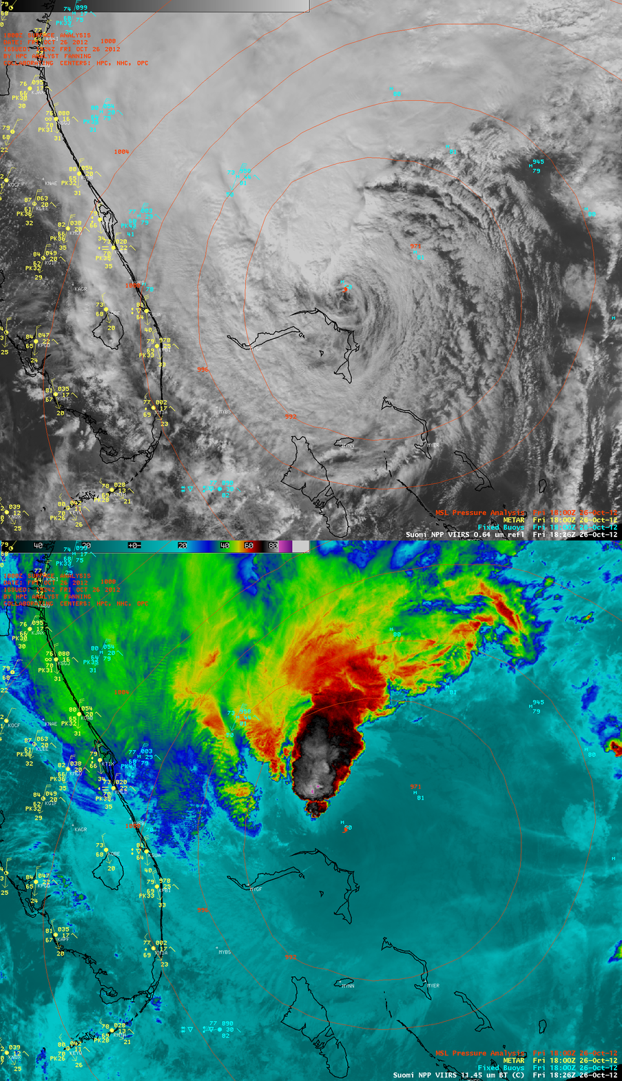
A comparison of AWIPS images of Suomi NPP VIIRS 0.64 µm visible channel and 11.45 µm IR channel data (below) showed the exposed low-level circulation center of Sandy at 18:26 UTC (2:26 PM local time), and the deep convection to the north which exhibited cloud top IR brightness temperatures as cold as -87 C (violet color enhancement).


