GOES-14 Super Rapid Scan Operations (SRSO) Images of Hurricane Sandy
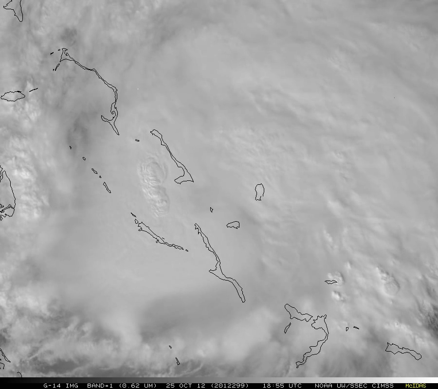
The GOES-14 satellite was placed into Super Rapid Scan Operations for GOES-R (SRSOR) mode to begin to provide 1-minute interal images of Hurricane Sandy on 25 October 2012. McIDAS images of GOES-14 0.63 µm visible channel data (above; click image to play animation; also available as a QuickTime movie) showed the circulation of Sandy moving northward over the islands of the Bahamas, with the development of a new convective burst in the western semicircle of the storm.
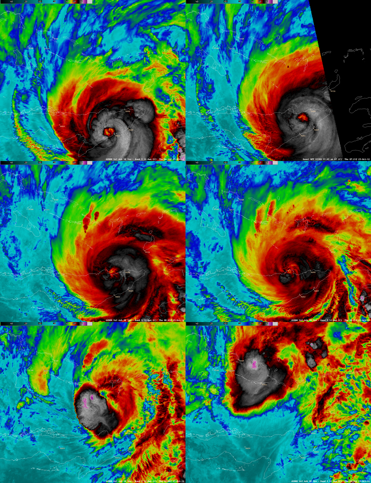
Prior to the initiation of GOES-14 SRSOR, a sequence of AWIPS images of 1-km resolution POES AVHRR 12.0 µm and Suomi NPP VIIRS 11.45 µm IR data (below) showed the circlation of Hurricane Sandy crossing the eastern portion of the island of Cuba.
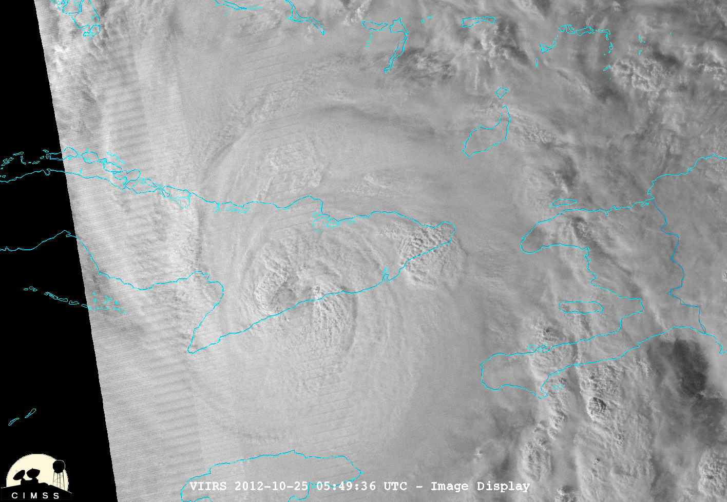
A McIDAS-V image of Suomi NPP VIIRS 0.7 µm Day/Night Band data at 05:49 UTC or 1:49 AM local time (below; courtesy of William Straka, CIMSS) offered a “night-time visible” image of Sandy as its center was moving over the southern coast of Cuba.


