Education
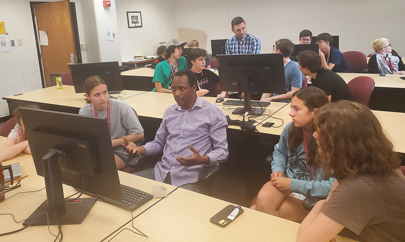
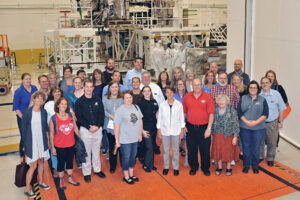
CIMSS scientists and outreach specialists are developing the content and resources to train today’s researchers, prepare the next generation of scientists, and share the benefits of our work with the public. We organize workshops for high school students and teachers, provide scholarships for undergraduate and graduate students, and conduct specialized training on satellite meteorology topics for researchers and weather forecasters. CIMSS also maintains a plethora of interactive online tools and educational resources.
-
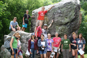
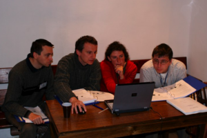
Workshops and Learning Communities
-
-
Scholarship Opportunities
-
-
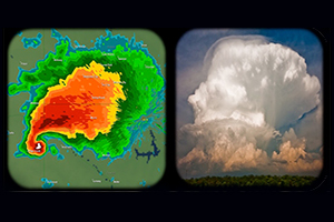
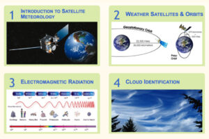
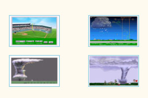
Web based Educational Resources
-
-
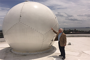
Training/Professional Development
-
-
Other EPO and Learning Resources
-