")
GOES-13 6.5 µm water vapor images (with surface fronts analyses)
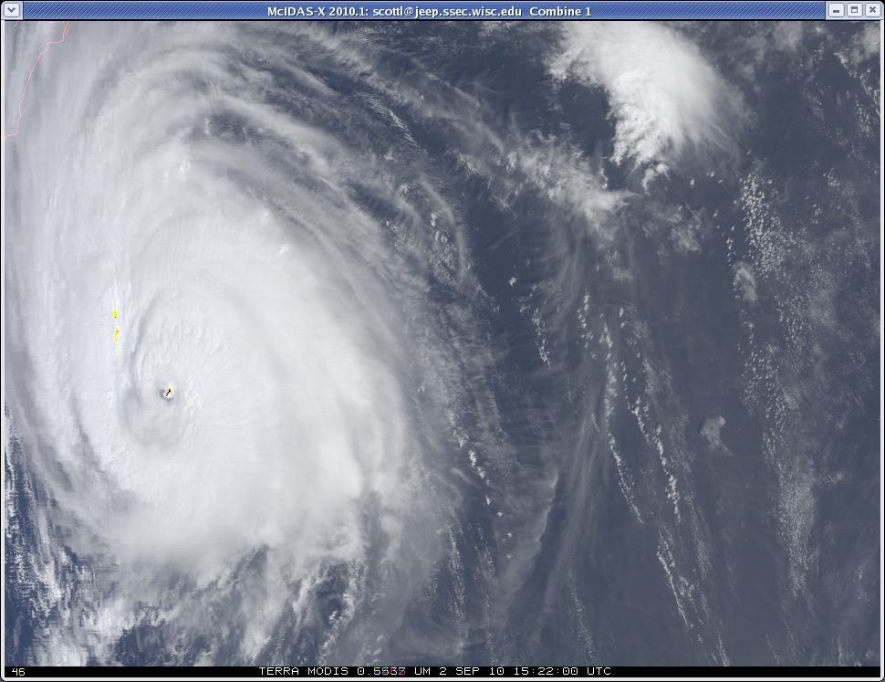
AWIPS images of the GOES-13 6.5 µm water vapor channel data (above) showed Hurricane / Tropical Storm Earl as it moved inland across the Canadian Maritime provinces on 04 September – 05 September 2010. However, at the same time a large mid-latitude cyclone was intensifying over far western Quebec — and the water vapor imagery began to display what appeared to be a warm conveyor belt signature (below) that stretched northwestward across Quebec and over Hudson Bay. It was somewhat surprising to see such a warm conveyor belt signature develop so close to the proximity of the back edge of the cloud shield of Earl.
")
GOES-13 water vapor image (with surface front analysis)
The GFS40 model winds within the 315-325 K isentropic layer (below) indicated that there was a strong 60-knot jet moving across the region where the warm conveyor belt signature formed on the water vapor imagery.

GOES-13 water vapor image + GFS 315-325 K layer winds
A pair of 1-km resolution MODIS 6.7 µm water vapor images (below) showed greater detail of the structure of the warm conveyor belt signature as it was forming.

MODIS 6.7 µm water vapor images
A sequence of four 1-km resolution POES AVHRR 10.8 µm IR images (below) showed the banding structure that was forming within the conveyor belt feature.

AVHRR 10.8 µm IR images
View only this post Read Less

")


