This website works best with a newer web browser such as Chrome, Firefox, Safari or Microsoft Edge. Internet Explorer is not supported by this website.

Long “atmospheric rivers” of moisture

AWIPS images of the MIMIC Total Precipitable Water (TPW) product (above) showed the presence of  long, narrow  filaments of moisture (often described as “atmospheric rivers“) that were moving across the North Pacific Ocean and the North... Read More

MIMIC Total Precipitable Water

MIMIC Total Precipitable Water

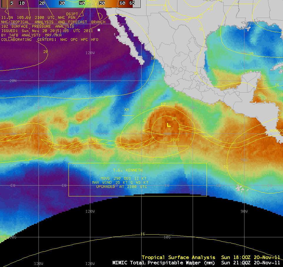
AWIPS images of the MIMIC Total Precipitable Water (TPW) product (above) showed the presence of  long, narrow  filaments of moisture (often described as “atmospheric rivers“) that were moving across the North Pacific Ocean and the North Atlantic Ocean during the 04 May – 05 May 2009 period. Studies by Newell and others suggest that these atmospheric rivers can persist for more than 10 days, and are capable of transporting as much water as the Amazon River!
Composite geostationary satellite water vapor imagery (below) showed a similar signature of enhanced clouds and moisture along the axis these two atmospheric rivers — however, the presentation on the water vapor imagery was a bit different in terms of width and location.

Composite of geostationary satellite water vapor images

MIMIC TPW + surface analysis

MIMIC TPW + surface analysis

Note that the surface frontal structure was more closely aligned with the atmospheric rivers seen on the TPW imagery (above), but there was more of a mismatch with the corresponding water vapor image features (below). This is due to the fact that the water vapor imagery is generally sensing a signal from moisture located within a fairly deep layer aloft in the middle to upper troposphere, at a level above which the bulk of the total column precipitable water is located.

Composite water vapor imagery + surface analysis

Composite water vapor imagery + surface analysis

A 4-panel comparison of the MIMIC TPW, the Blended TPW, GOES Imager water vapor channel, and the GOES Sounder TPW products (below) shows that there is good agreement to the general magnitude of the TPW values between the various products. An animation shows the various strengths and weaknesses of each in terms of their utility for tracking atmospheric rivers. The MIMIC and Blended TPW products (top 2 panels) had better  temporal continuity, while the GOES water vapor imagery and the GOES Sounder TPW product (bottom 2 panels) suffered from gaps in coverage due to either Spring eclipse or the variable GOES Sounder scanning strategy.

Comparison of MIMIC TPW, Blended TPW, GOES Sounder TPW, and water vapor imagery

Comparison of MIMIC TPW, Blended TPW, GOES Imager water vapor.  and GOES Sounder TPW imagery

View only this post Read Less
Microburst hits Dallas Cowboys football practice facility

AWIPS images of the GOES-12 10.7 µm “IR window” channel (above) showed the development of severe thunderstorms that moved across the Dallas/Fort Worth metro area in northeast Texas on 02 May 2009. Cloud top temperatures quickly cooled into the -70º to... Read More

GOES-12 10.7 µm IR images

GOES-12 10.7 µm IR images

AWIPS images of the GOES-12 10.7 µm “IR window” channel (above) showed the development of severe thunderstorms that moved across the Dallas/Fort Worth metro area in northeast Texas on 02 May 2009. Cloud top temperatures quickly cooled into the -70º to -80ºC range (black to light gray color enhancement) as the storms began to produce hail (up to 1.75 inch in diameter), strong surface winds, and a few tornadoes (SPC storm reports). At around 20:30 UTC (3:30 pm local time), strong winds from a microburst caused the collapse of a canopy covering a practice field at the Dallas Cowboys football facility at Valley Ranch (located just to the northeast of Dallas/Fort Worth International Airport, KDFW), with several injuries being reported.

A closer view using a 1-km resolution MODIS 11.0 µm IR window image (below) showed greater detail in the cloud top temperature structure, with some pixels as cold as -84ºC (violet color enhancement). Note the sharp “upshear” (western) edge of the storm’s anvil; in addition, there was a subtle “warm trench” signature surrounding the cold cluster of overshooting tops that was located to the southwest of KDFW — this IR storm top signature is sometimes seen with severe thunderstorms.

MODIS 11.0 µm IR image

MODIS 11.0 µm IR image

A comparison of the 4-km resolution GOES-12 10.7 µm IR image with the corresponding 1-km resolution MODIS 11.0 µm IR window image (below) demonstrated the advantage of higher spatial resolution for use in the detection of severe storm cloud top signatures. The coldest GOES-12 cloud top temperatures were -77ºC, about 7ºC warmer than the -84ºC seen on the MODIS image.

GOES-12 10.7 µm IR + MODIS 11.0 µm IR images

GOES-12 10.7 µm IR + MODIS 11.0 µm IR images

According to the 00:00 UTC rawinsonde report from Dallas/Fort Worth (below), these cold cloud top temperatures associated with the intense overshooting tops were several degree colder than the sounding tropopause temperature of -74ºC.

Dallas/Fort Worth TX rawinsonde report

Dallas/Fort Worth TX rawinsonde report

View only this post Read Less
The complex structure and evolution of the Gulf Stream

An AWIPS image of the MODIS Sea Surface Temperature (SST) product (above) showed the complex structure of the Gulf Stream off the east coast of the US on 28 April 2009. The SST values were as high... Read More

MODIS Sea Surface Temperature product

MODIS Sea Surface Temperature product

An AWIPS image of the MODIS Sea Surface Temperature (SST) product (above) showed the complex structure of the Gulf Stream off the east coast of the US on 28 April 2009. The SST values were as high as upper 70s F (darker red colors) in one of the warm eddies along the southern edge of the Gulf Stream, while water temperatures were as cold as the upper 30s to low 40s F (darker blue colors) closer to the mainland. Note the appearance of a number of warm and cold “meanders” and “eddies” along both sides of the Gulf Stream axis — these warm and cold water eddy features can reach to depths of almost 4000 m, and the water temperature within these eddies can have an influence on the productivity of fishing areas.

A comparison of the MODIS SST product with sea surface temperature data from the RTG_SST and the RTG_SST High-Resolution analyses (below) showed that both the RTG_SST and the RTG_SST_HR  had a difficult time properly depicting some of the more subtle meanders and eddies along either side of the Gulf Stream axis. At some locations, differences between the MODIS SST value and the RTG_SST/RTG_SST_HR analyzed SST values were as large as 4-6 degrees F.

MODIS SST + RTGSST and HR-RTGSST model temperature fields

MODIS SST + "RTG_SST" and "RTG_SST High-Resolution" model temperature fields

A comparison of the 1-km resolution MODIS SST product with the corresponding 4-km resolution GOES-12 10.7 µm IR image (below) demonstrated the obvious advantage of better spatial resolution for detecting the smaller-scale meanders and eddies. Some of the darker green features seen on the GOES-12 IR image to the east of the Gulf Stream  were clouds (which were “blacked out” by the cloud mask algorithm on the MODIS SST image).

1-km reslution MODIS SST product + 4-km resolution GOES-12 10.7 µm IR image

1-km resolution MODIS SST product + 4-km resolution GOES-12 10.7 µm IR image

However, the clear advantage of GOES is the higher temporal resolution of the data — with images available more frequently, one can actually see the evolution and motion of the Gulf Stream itself, as well as some of the meanders and eddies along the periphery of the Gulf Stream during the 28-29 April period (below). The maximum speed of the Gulf Stream at the ocean surface is usually about 2.5 meters per second (5.6 miles per hour).

GOES-12 10.7 µm IR images

GOES-12 10.7 µm IR images

View only this post Read Less
Lingering snow cover in the Upper Peninsula of Michigan

A late-season winter storm dumped as much as 29.0 inches of snow across parts of the Upper Peninsula of Michigan during the 19-21 April 2009 period — in fact, the 20.5 inches that fell at Marquette was their 3rd largest late season 2-day... Read More

MODIS visible, 11.0 µm IR, and Land Surface Temperature images

MODIS visible, 11.0 µm IR, and Land Surface Temperature images

A late-season winter storm dumped as much as 29.0 inches of snow across parts of the Upper Peninsula of Michigan during the 19-21 April 2009 period — in fact, the 20.5 inches that fell at Marquette was their 3rd largest late season 2-day snowfall on record. AWIPS images of the MODIS visible channel, 11.0 µm IR window channel, and the Land Surface Temperature (LST) product (above) showed that a few areas of snow cover still remained on 28 April 2009. MODIS IR brightness temperatures were as cold as +2º to +5º C (darker blue colors) over the patches of snow cover, which still appeared as varying shades of white on the visible image. While there were some MODIS Land Surface Temperature values as cold as the middle 40s F (darker green colors) over the patches of snow cover, the coldest areas showed up as black “NO DATA” pixels in the LST product, due to the product algorithm mistakenly identifying the sharp temperature gradients as cloud features.

Unfortunately, there were no National Weather Service Cooperative Observer locations in the region that reported any snow depth on the morning of 28 April, so the true depth of the remaining snow cover was not known — however, according to an email reply from meteorologist  John Dee (who lives on the Keweenaw Peninsula):

The snow that remains is from the season and is quite variable in depth, with shaded areas in the higher terrain still having a foot or a bit more, but unshaded areas being bare and those that catch some sun and some shade having anywhere in between zero and a foot. I’d say probably 2-6″ still remaining if you took the bare with the other areas with varying depth and averaged things out.

AWIPS examples of a 250-meter resolution MODIS true color image and a 1-kilometer resolution MODIS Sea Surface Temperature (SST) product (below) showed two items of interest: (1) there was a good signal of the runoff of snow-melt water as it flowed northward from the Ontonagon River basin into Lake Superior (note the reddish hue of the water immediately offshore, due to the iron-rich sediment), and (2) the water temperatures in Lake Superior were still quite cold, with MODIS SST values generally in the 35º to 38º F range (darker blue colors).

MODIS true color image + MODIS Sea Surface Temperature

MODIS true color image + MODIS Sea Surface Temperature

View only this post Read Less