 and GOES-13 (right) 0.63 µm visible channel images (click image to play animation)")
GOES-15 (left) and GOES-13 (right) 0.63 µm visible channel images (click image to play animation)
A comparison of McIDAS images of 1-km resolution GOES-15 (GOES-West) and GOES-13 (GOES-East) 0.63 µm visible channel data (above; click image to play animation) showed the smoke plume from the Springs Fire near Camarillo, California on 02 May 2013. GOES-15 (positioned over the Equator at 135º West longitude) had a better viewing angle of the smoke plume, while GOES-13 (positioned at 75º West longitude) was in Rapid Scan Operations (RSO) mode and was therefore able to provide more frequent images.
AWIPS images of 4-km resolution GOES-15 3.9 µm shortwave IR data (below; click image to play animation) showed the development and rapid growth of the fire “hot spot” signature (dark black enhancment) after 14:01 UTC (7:01 AM local time). At Point Mugu (station identifier KNTD), the surface winds gusted to 27 knots from the southwest at 17 UTC, then shifted and gusted to 30 knots from the northwest at 19 UTC, and then shifted again and gusted to 30 knots from the southwest at 20 UTC. Surface visibility at this site was reported to be as low as 2 miles to the north and northeast of the station, with an overcast layer of smoke during most of the day. Not far inland at Sandberg (station identifier KSDB), winds gusted to 46 knots and the dew point temperature dropped to -19º F (making for a relative humidity of 2%!).
")
GOES-15 3.9 µm shortwave IR images (click image to play animation)
===== 03 May Update =====
AWIPS images of 1-km resolution Suomi NPP VIIRS 3.74 µm shortwave IR and 0.7 µm Day/Night Band data at 09:41 UTC or 2:41 AM local time on 03 May (below) showed a very large fire “hot spot” (yellow to red to black color enhancement) on the shortwave IR image, and the Day/Night Band revealed the hazy signature of smoke aloft that had drifted offshore and south and southeastward along the southern California coast.

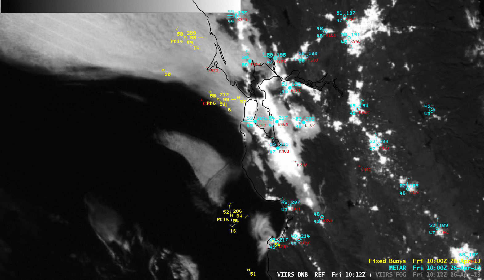
Suomi NPP VIIRS 3.74 µm shortwave IR and 0.7 µm Day/Night Band images
During the following afternoon on 03 May, 250-meter resolution true-color and false-color Red/Green/Blue (RGB) images from the SSEC MODIS Today site (below) showed the dense smoke plume continuing to drift offshore; the hottest active fire regions appeared as light red features on the false-color image.
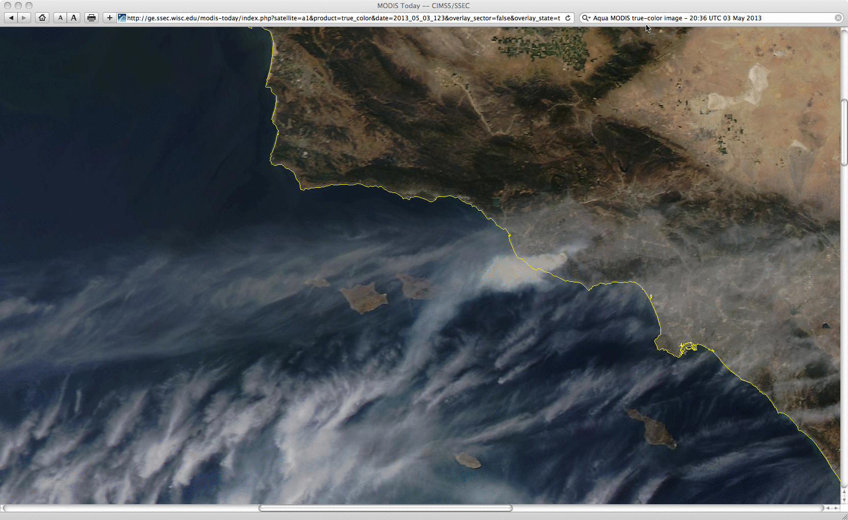
MODIS true-color and false-color Red/Green/Blue (RGB) images
View only this post Read Less
")


")
")
")

