Mesoscale Convective System in the Gulf of Mexico

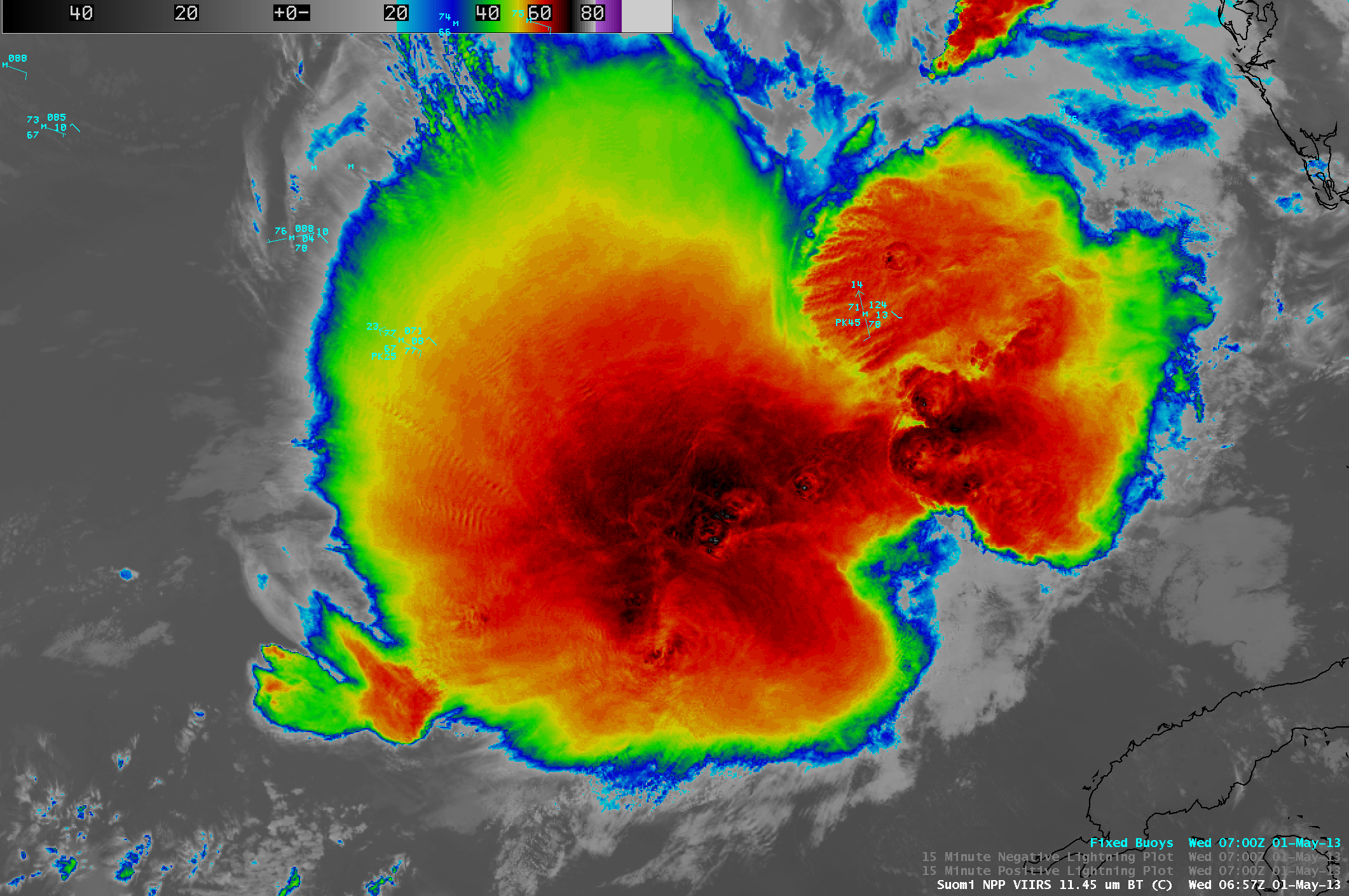
Suomi NPP VIIRS 11.45 µm IR channel and 0.7 µm Day/Night Band images (with overlays of cloud-to-ground lightning strikes)
A large nocturnal mesoscale convective system (MCS) was moving eastward across the Gulf of Mexico during the pre-dawn hours on 01 May 2013. AWIPS images of Suomi NPP VIIRS 11.45 µm IR channel and 0.7 µm Day/Night Band (DNB) data with an overlay of cloud-to-ground lightning strikes (above) revealed numerous cloud-top gravity waves. In addition to providing a “visible image at night” that helped to highlight these gravity waves as well as shadows from overshooting tops, the DNB image also showed several bright “streaks” denoting cloud tops illuminated by areas of intense lightning activity. The coldest cloud top IR brightness temperatures (associated with some of the overshooting tops) were -76º C.
A Suomi NPP VIIRS 11.45 µm IR image with surface buoy reports (below) showed that there was a peak wind gust of 45 knots (52 mph) at Buoy 42003 (which occured at 06:50 UTC).
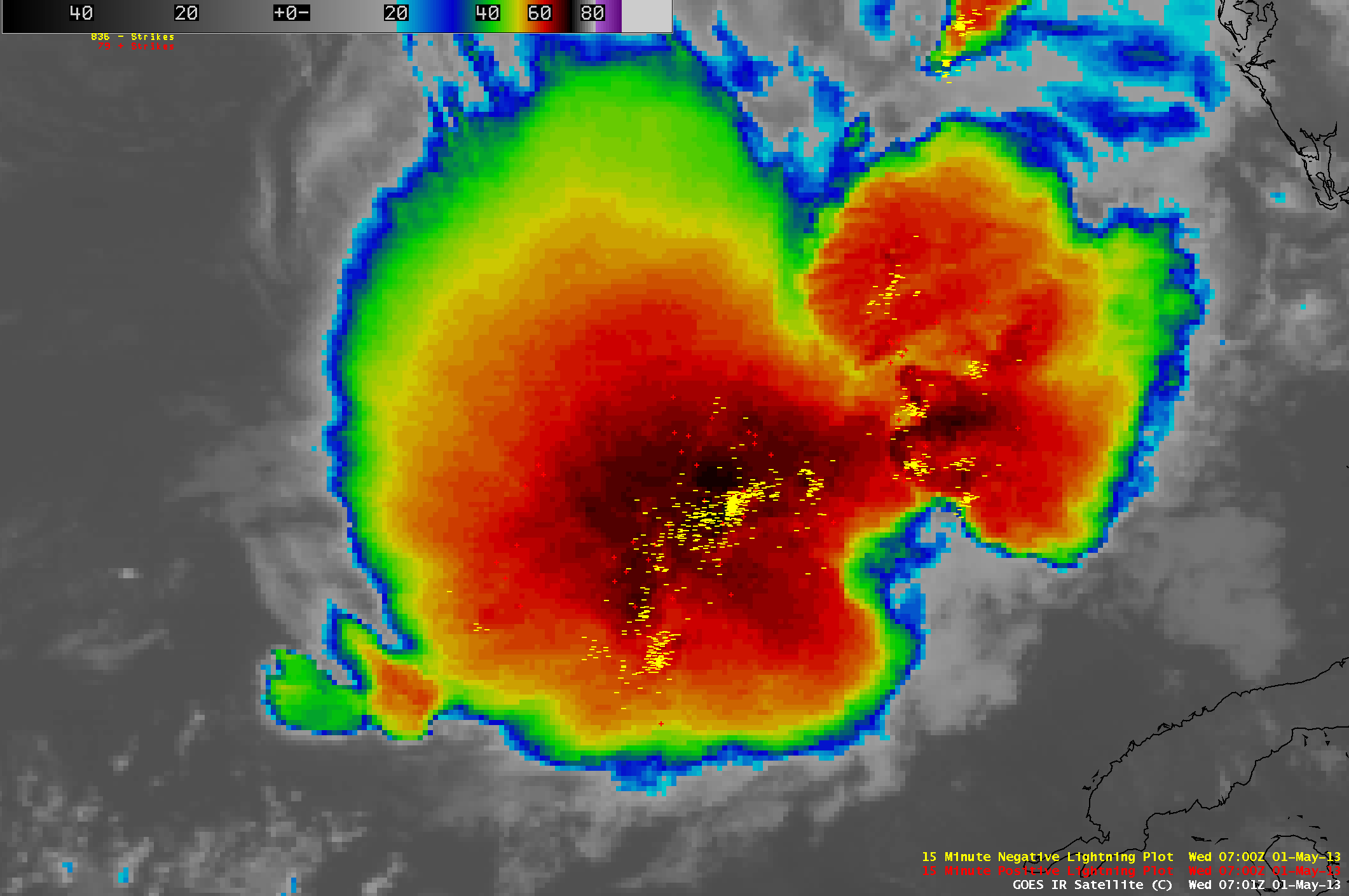
A comparison of 1-km resolution Suomi NPP VIIRS 11.45 µm IR and 4-km resolution GOES-13 IR images (below) demonstrated the advantage of higher spatial resolution for showing the detailed cloud top structures exhibited by the MCS.
A great deal of lightning was associated with this MCS as it propagated eastward across the Gulf of Mexico, with the storm often producing over 1000 cloud-to-ground strikes within a 15-minute period (below; click image to play animation).

GOES-13 10.7 µm IR channel images with cloud-to-ground lightning strikes (click image to play animation)


