Sensing the surface on GOES-13 water vapor imagery
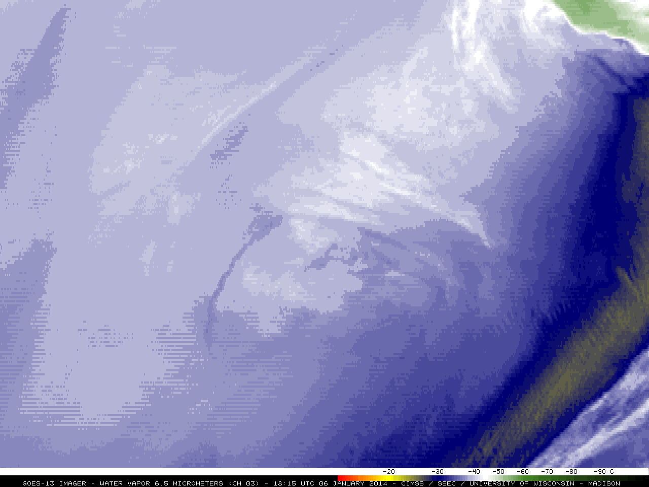
Most users of water vapor satellite imagery interpret the patterns they see as variations in moisture within the middle to upper troposphere — and for the most part, this is often a good first-order assumption. However, one must keep in mind that the water vapor channel is essentially an InfraRed... Read More
