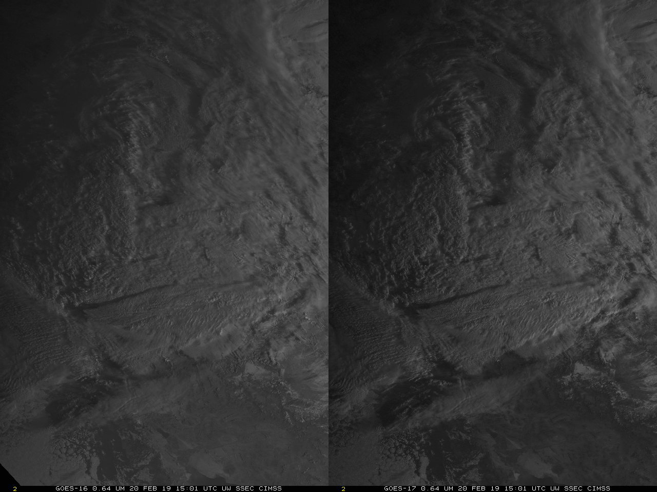
Adventures with geo2grid: Creating Stereoscopic Imagery in True Color
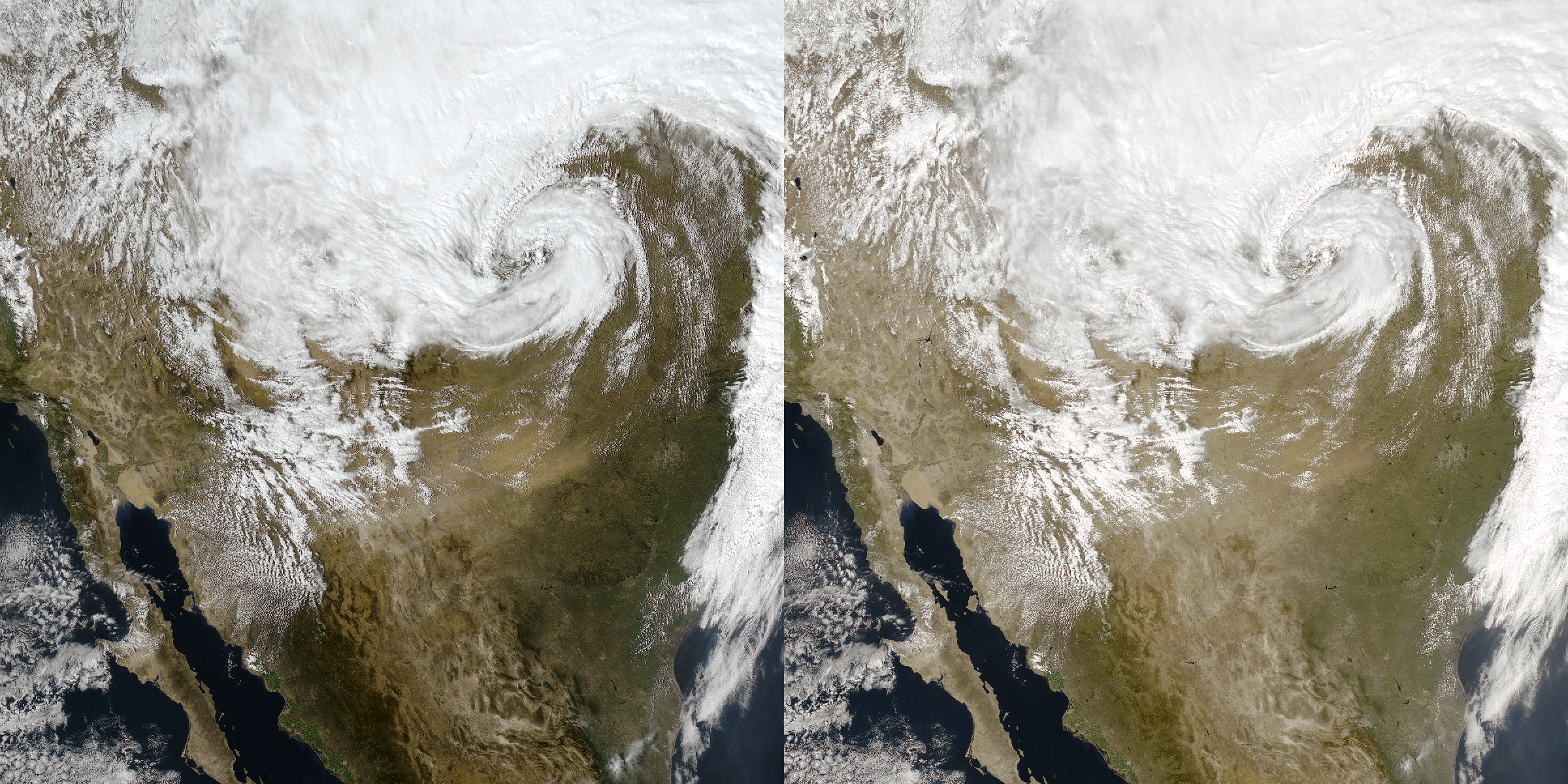
Geo2grid is a python-based software package that creates GeoTIFF imagery from native Himawari or GOES-16/GOES-17 imagery, as noted here. This blog post documents how to use the geo2grid software to create stereoscopic imagery, using either a Himawari-8/GOES-17 pairing, or a GOES-16/GOES-17 pairing. This requires first a remapping of the imagery to a fixed domain; when... Read More

