
Chile is one of the most volcanically active countries on Earth. The latest volcano to erupt is Chaiten, which had previously lain dormant for at least 1000 years. Chaiten is at approximately 42 degrees South latitude, 72 degrees west longitude, close to Golfo de Ancud. A series of eruptions, starting on May 2, has prompted the evacuation of Chaiten, a provincial capital with a population of 4000.
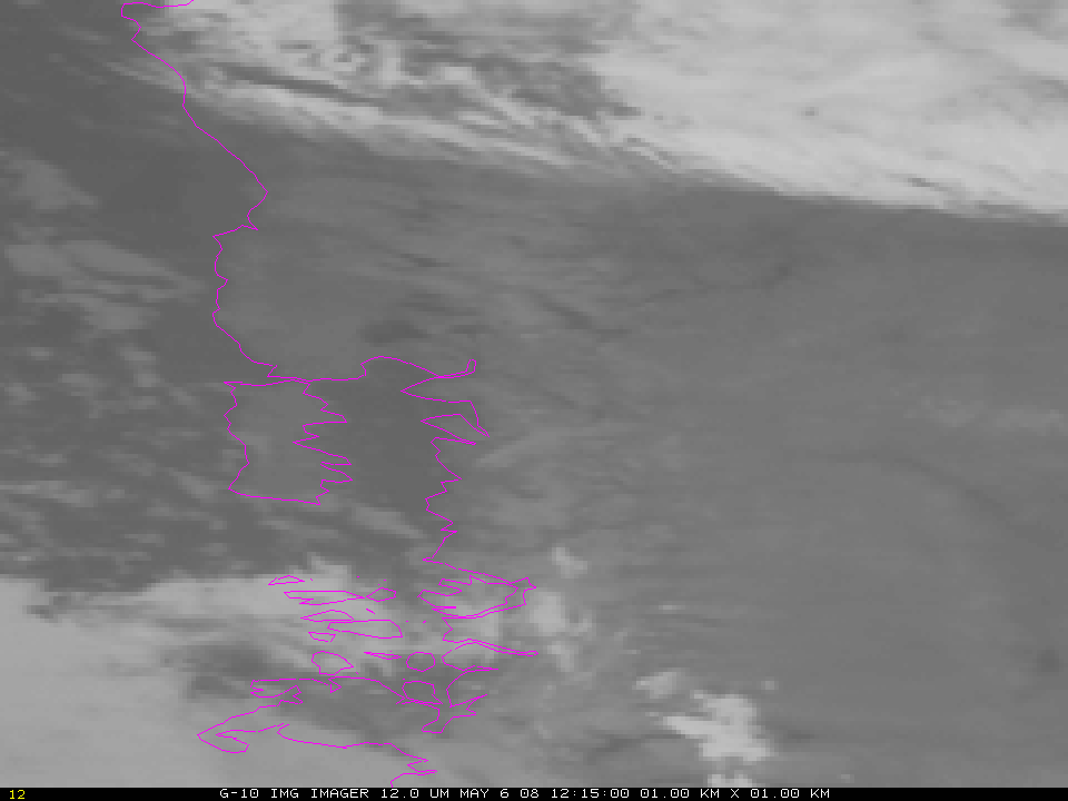
GOES-10 captured the plume of an eruption that started near 12 UTC on 6 May. Volcanic ash does not have an emissivity of 1; that is, it does not emit as a blackbody. The emissivity at 10.7 microns is smaller than the emissivity at 12 microns. The smaller signal received at 10.7 microns (relative to the assumed blackbody) is interpreted as a cooler emitting surface. If the blackbody temperatures at 10.7 and 12.0 microns are compared, then, values at 12.0 microns are warmer. A channel difference can be used to highlight the horizontal extent of the volcanic ash. In the loop shown, the bluest pixels correspond to a blackbody temperature difference of nearly 10 K. That is, the 12 micron blackbody temperature is 10 K warmer than the 11 micron blackbody temperature. The remnants of an older eruption are also noted near the Atlantic Coast of Argentina.
A sequence of GOES-10 imager and sounder IR difference products during the 02-08 May period (below) shows evidence of plumes from multiple eruptions of the Chaiten Volcano. The GOES-10 Imager can provide nearly continuous (15 minute) coverage of the evolving ash cloud, while the GOES-10 Sounder can provide details on the upper-level SO2 plumes once every four hours. The former is derived utilizing the 11.0 micrometer and 12.0 micrometer bands from the Imager. SO2 plumes are revealed by differencing the 7.4 micrometer and 13.3 micrometer bands from the Sounder.
")
Click here to see an animated gif every from every four hours — that is, each hour for when sounder data are available.
An AVHRR false color image from 05 May (below, viewed using Google Earth) revealed a long plume from the Chaiten volcano, which stretched eastward across Argentina and then southeastward over the South Atlantic Ocean.

View only this post Read Less
")

")
")
")
")
")
")

