Burn scars over Canada revealed by JPSS VIIRS imagery
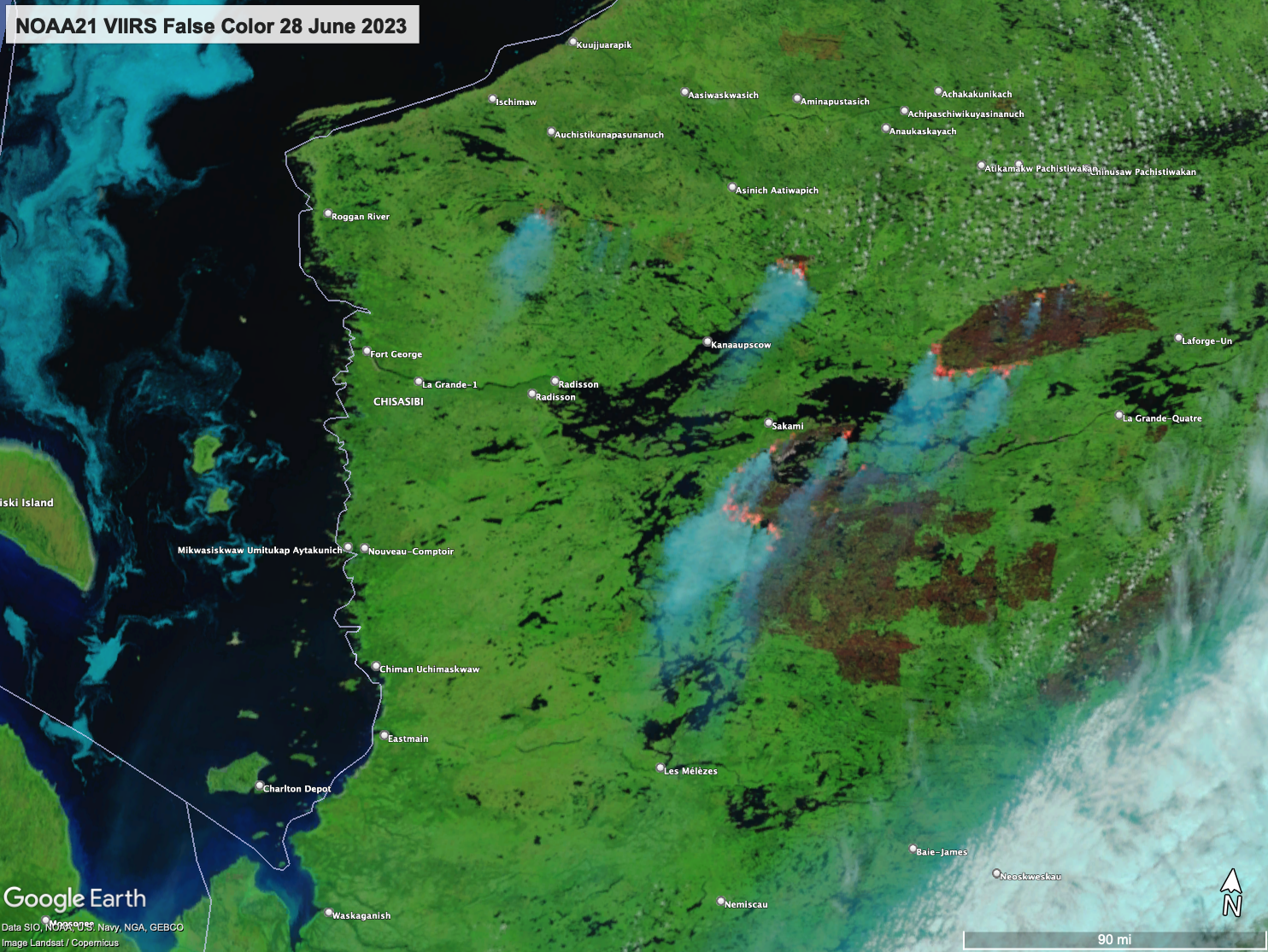
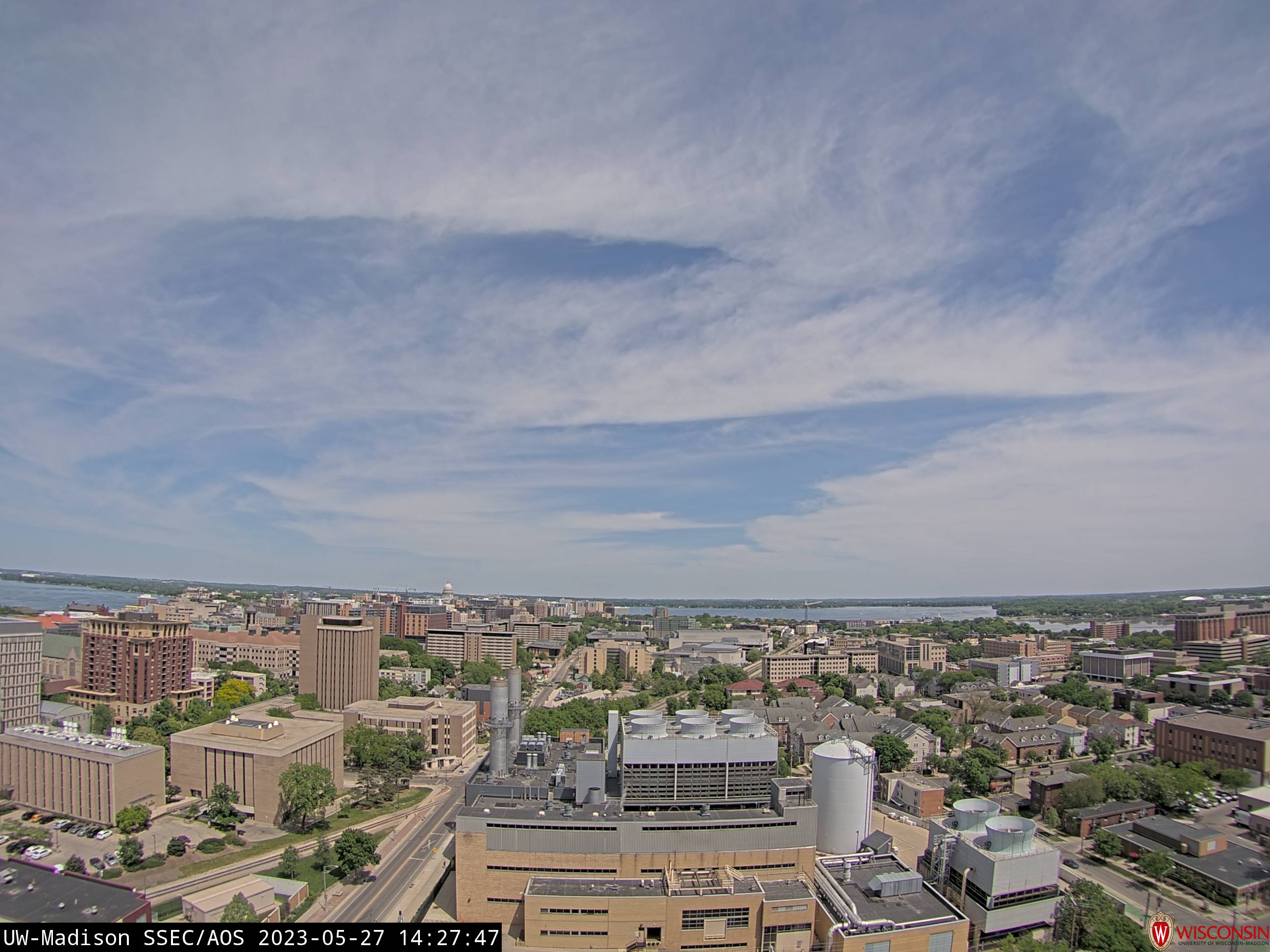
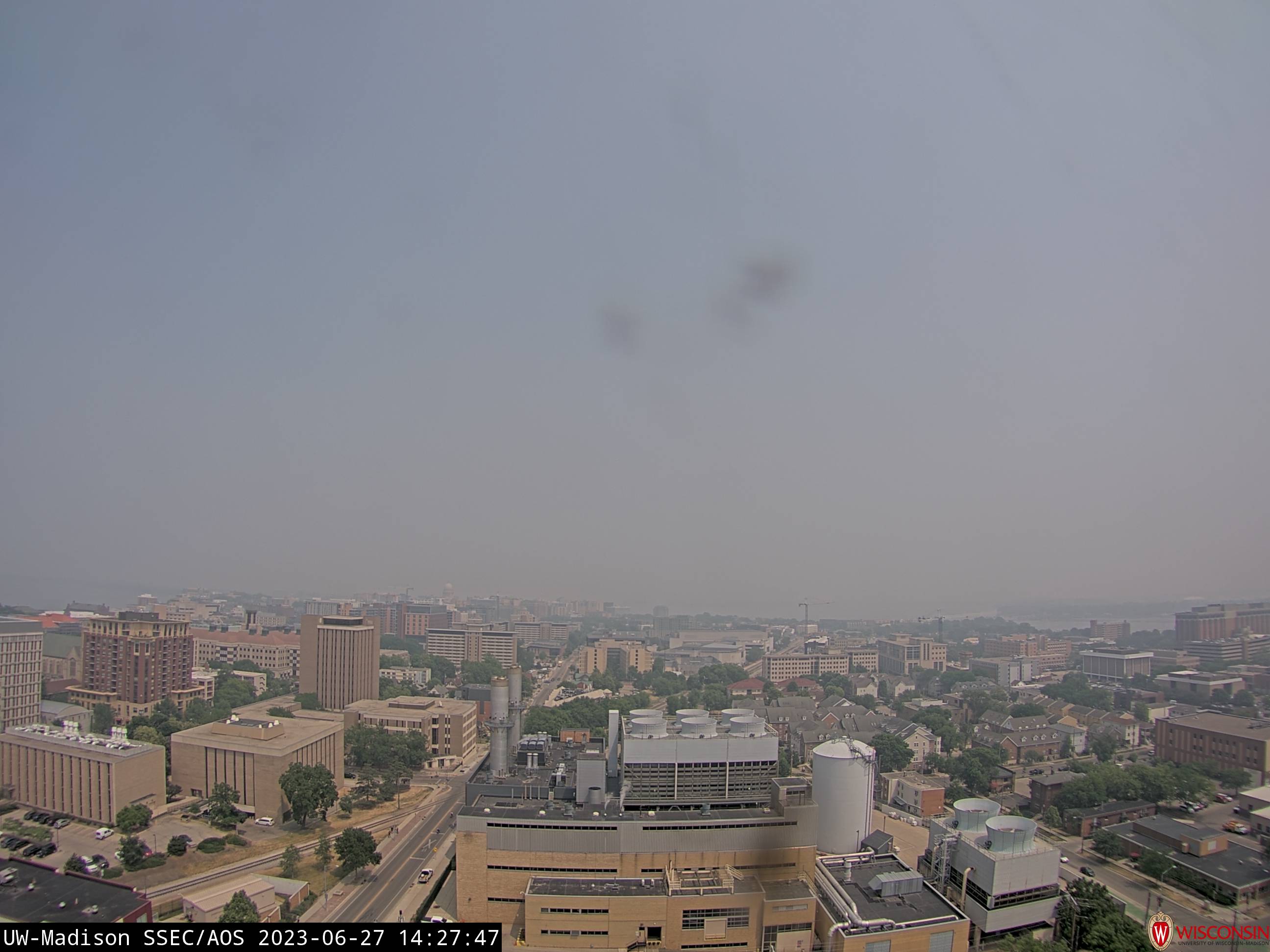
Given all the smoke over United States, one might ask: “Just how much acreage has burned over Canada?” NOAA-21 VIIRS False-color imagery from 28 June, toggled above with True-color imagery, reveal very large burn scars over Quebec to the east of James Bay. In the False-color imagery, the burnscars have a... Read More
