Severe thundstorms across Indiana

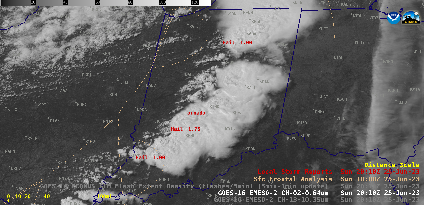
GOES-16 “Red” Visible (0.64 µm) and “Clean” Infrared Window (10.3 µm) images, with Local Storm Reports plotted in red/cyan [click to play animated GIF| MP4]
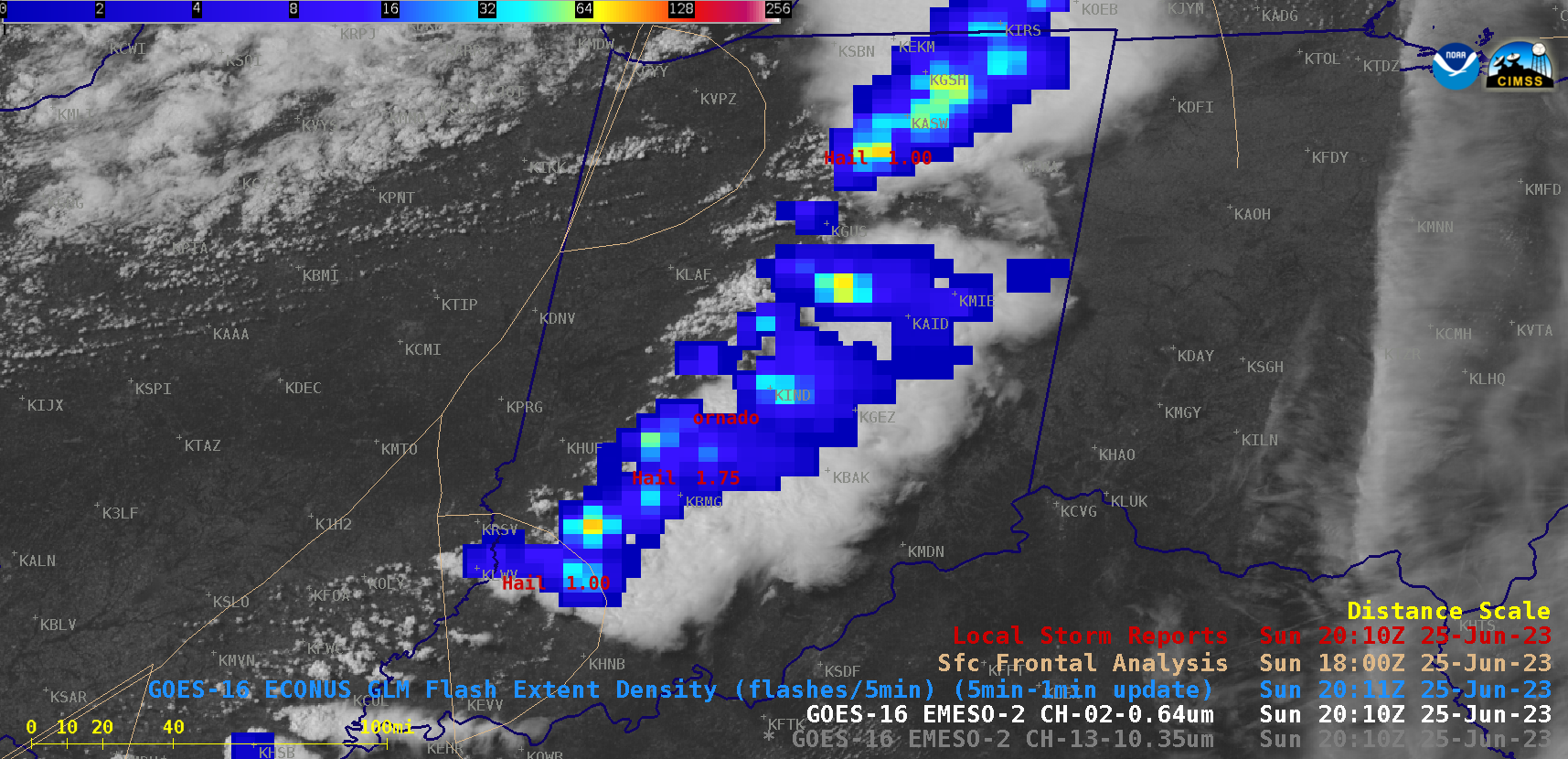
1-minute GOES-16 Visible and Infrared images that included an overlay of GLM Flash Extent Density (below) displayed notable lightning activity with these thunderstorms.

GOES-16 “Red” Visible (0.64 µm) and “Clean” Infrared Window (10.3 µm) images, with an overlay of GLM Flash Extent Density [click to play animated GIF| MP4]

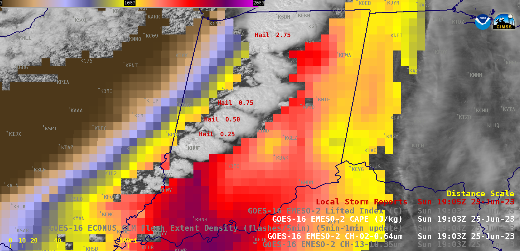
GOES-16 “Red” Visible (0.64 µm) images, with overlays of CAPE / Lifted Index derived products and Local Storm Reports plotted in red [click to play animated GIF| MP4]

