Orographically-induced waves over Minnesota and Lake Superior
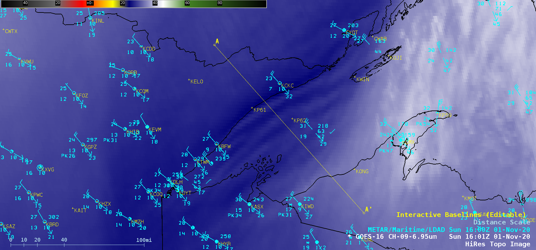
GOES-16 (GOES-East) Mid-level Water Vapor (6.9 µm) images (above) showed the formation of a standing wave cloud along the Minnesota shoreline of Lake Superior, followed by the development of a sequence of standing waves over western Lake Superior on 01 November 2020. This cloud and subsequent wave features were formed by a vertically-propagating internal gravity wave... Read More
