Storm Hannah moves across the British Isles
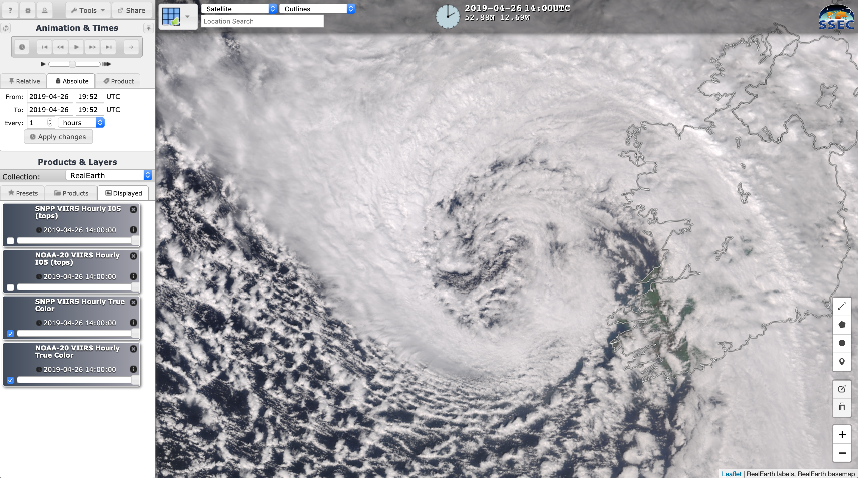
A sequence of VIIRS True Color Red-Green-Blue (RGB) and Infrared Window (11.45 µm) images from Suomi NPP and NOAA-20 as viewed using RealEarth (above) showed “Storm Hannah” as it approached Ireland and the United Kingdom on 26 April 2019. The midlatitude cyclone had peaked in intensity as a Hurricane Force... Read More
