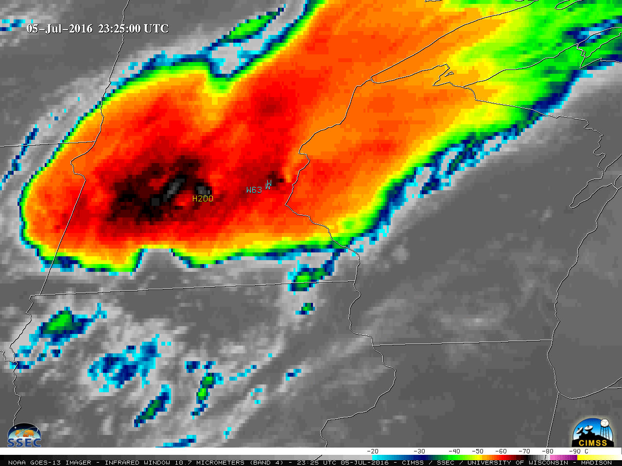
Mesoscale Convective System in the Upper Midwest

GOES-13 (GOES-East) 4-km resolution Infrared Window (10.7 µm) images (above) showed the development of a large Mesoscale Convective System (MCS) which produced tornadoes, large hail, and damaging winds (SPC storm reports | NWS La Crosse summary) as it propagated southeastward across the Upper Midwest during the evening and overnight hours of 05 July – 06 July 2016.A sequence... Read More


