Rapidly intensifying mid-latitude cyclone off the East Coast of the US
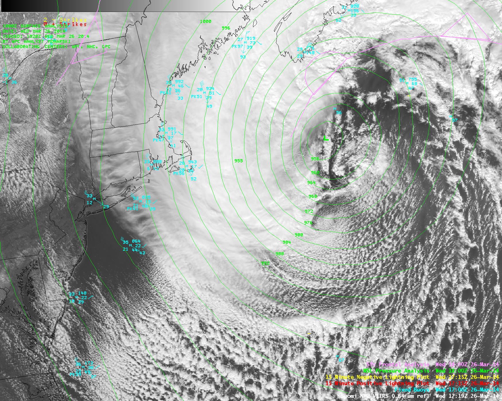
AWIPS images of a composite of 4-km resolution GOES-15 (GOES-West) and GOES-13 (GOES-East) 6.5 µm water vapor channel data (above; click image to play animation) showed the development of a large mid-latitude cyclone off the East Coast of the US on 26 March... Read More
