Orographic cirrus over Colorado and Wyoming
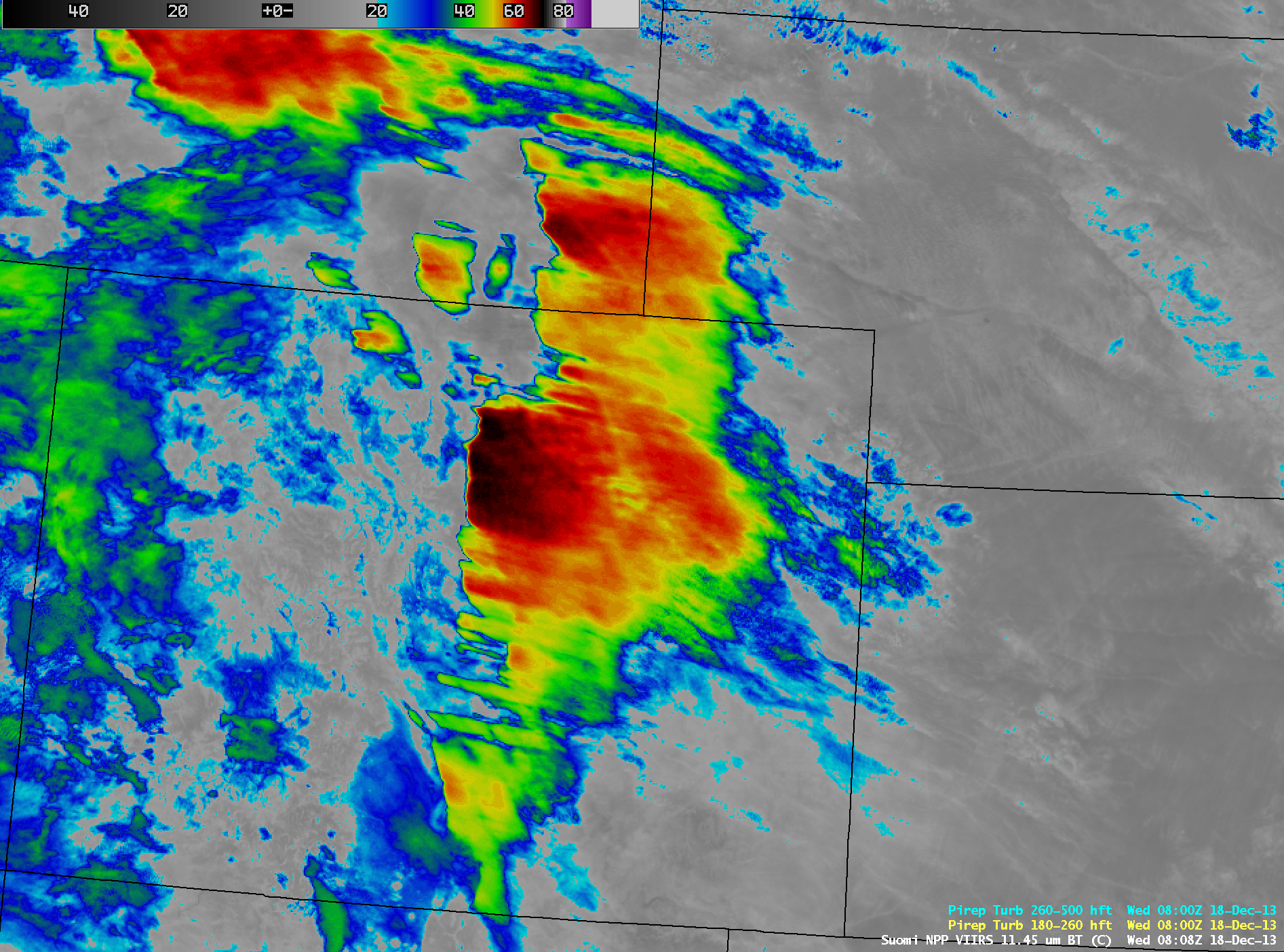
AWIPS images of 4-km resolution GOES-13 10.7 µm IR channel data (above; click image to play animation) showed the development of a large shield of orographic cirrus clouds immediately downwind (to the east of) the high terrain of the Rocky Mountains in eastern Colorado and southeastern Wyoming on Read More
