Northeast US winter storm
A strong “Nor’easter” winter storm impacted much of the northeastern US on 12 January – 13 January 2011. The storm exhibited a nice presentation on AWIPS images of the GOES-13 6.5 µm “water vapor channel” data... Read More
A strong “Nor’easter” winter storm impacted much of the northeastern US on 12 January – 13 January 2011. The storm exhibited a nice presentation on AWIPS images of the GOES-13 6.5 µm “water vapor channel” data... Read More
A comparison of MODIS Red/Green/Blue (RGB) “true color” (created using Bands 1/4/3) and “false color” (created using Bands 7/2/1) images from the SSEC MODIS Today site (above) showed a well-defined single lake-effect snow (LES) band running down the length of Lake Michigan on 08 January 2011. On the false color image, snow cover, ice, and glaciated clouds appeared as cyan-colored... Read More
A strong Pacific storm system moved through the southwestern US in late December 2010, producing snowfall amounts as high as 30 inches in northern Arizona. On 01 January 2011, a 250-meter resolution MODIS true color Red/Green/Blue (RGB) image (viewed using Google Earth) from the SSEC MODIS Today site (above) showed the correlation of elevation and snow cover across the Grand... Read More
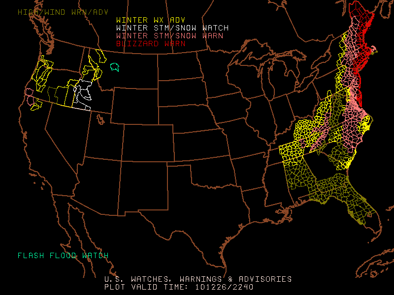
An intense winter storm impacted a great deal of the eastern US on 26 December – 27 December 2010, producing blizzard conditions along much of the East Coast (with Blizzard Warnings issued from Virginia to Maine), total snowfall amounts as high as 32.0 inches at Rahway, New Jersey, and significant accumulations as far south as... Read More
