This website works best with a newer web browser such as Chrome, Firefox, Safari or Microsoft Edge. Internet Explorer is not supported by this website.

Category: Winter weather

Mesoscale convective bands enhancing snowfall rates across the Upper Midwest

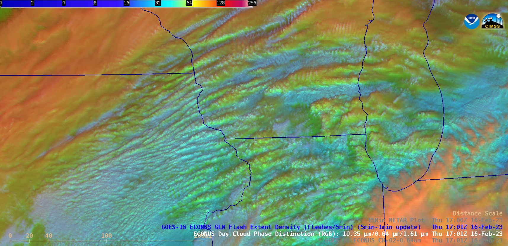
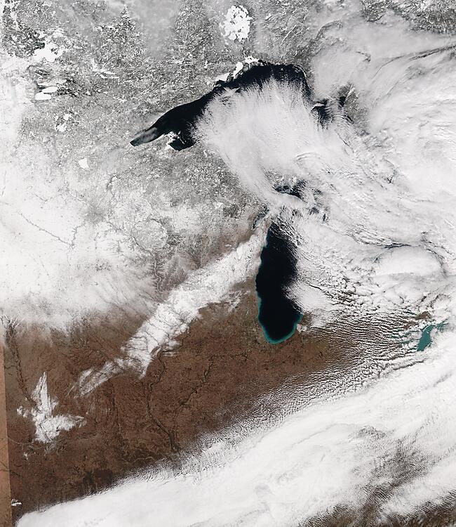
GOES-16 (GOES-East) “Red” Visible (0.64 µm) and Day Cloud Phase Distinction RGB images (above) showed widespread elevated convective banding that was helping to enhance snowfall rates — with some locations reporting 1.5 to 2.0 inches per hour — across parts of Minnesota, Wisconsin, Lower Michigan, Iowa and Illinois on 16 February 2023. There was no GLM indication... Read More

Snow squalls in Wyoming and Colorado

1-minute Mesoscale Domain Sector GOES-18 (GOES-West) “Clean” Infrared Window (10.3 µm) images (above) showed the colder cloud tops (shades of green) associated with snow squalls that moved east-southeastward across parts of far southern Wyoming and northern/central Colorado late in the day on 08 February 2023. Plots of 15-minute METAR surface reports indicated how... Read More