Cyclone Donna in the South Pacific Ocean
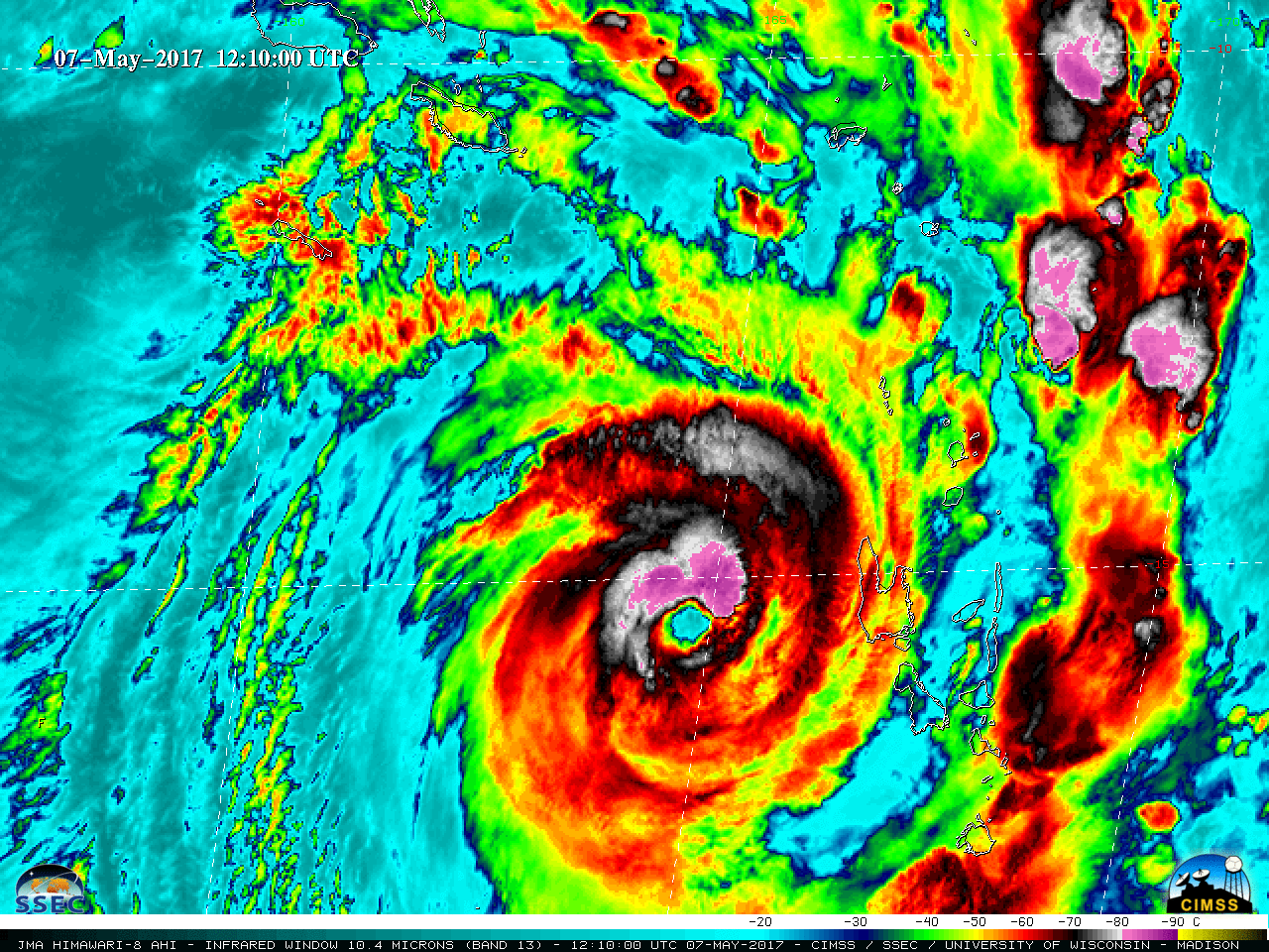
Cyclone Donna (18P) formed in the South Pacific Ocean (northeast of Vanuatu) on 02 May 2017. Himawari-8 Infrared Window (10.4 µm) images during the 03-06 May period (above) revealed the formation of multiple convective bursts, many exhibiting cloud-top IR brightness temperatures of -90º C and colder.On 07 May, Cyclone Donna... Read More
