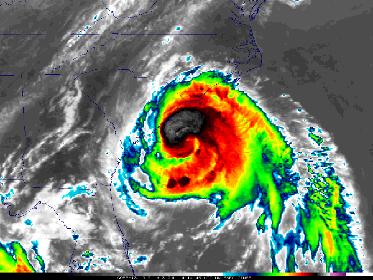
Cold cloud top temperatures associated with Hurricane Ingrid
Hurricane Ingrid had been going though a period of slow intensification (ADT plot) off the Gulf Coast of Mexico during the overnight hours on 14 September –
After a four and a half day hiatus, Tropical Storm Gabrielle began to regenerate south of Bermuda on 10 September 2013. AWIPS images of 1-km resolution POES AVHRR 0.86 µm visible channel and 12.0 µm IR channel data at 13:41 UTC (above) showed... Read More
1-km resolution GOES-13 0.63 µm visible channel images (above; click image to play animation) revealed a pronounced convective burst associated with Tropical Depression #7, which was centered just southeast of Puerto Rico late in the day on 04 September 2013. On the final visible image before darkness, a pair of... Read More
MTSAT-2 0.7 µm visible channel images (above; click image to play animation) and 10.8 µm IR channel images (below; click image to play animation) showed a close-up view of the small “pinhole eye” exhibited by Super Typhoon Utor east of the island of Luzon in the Philippines on 11 August... Read More