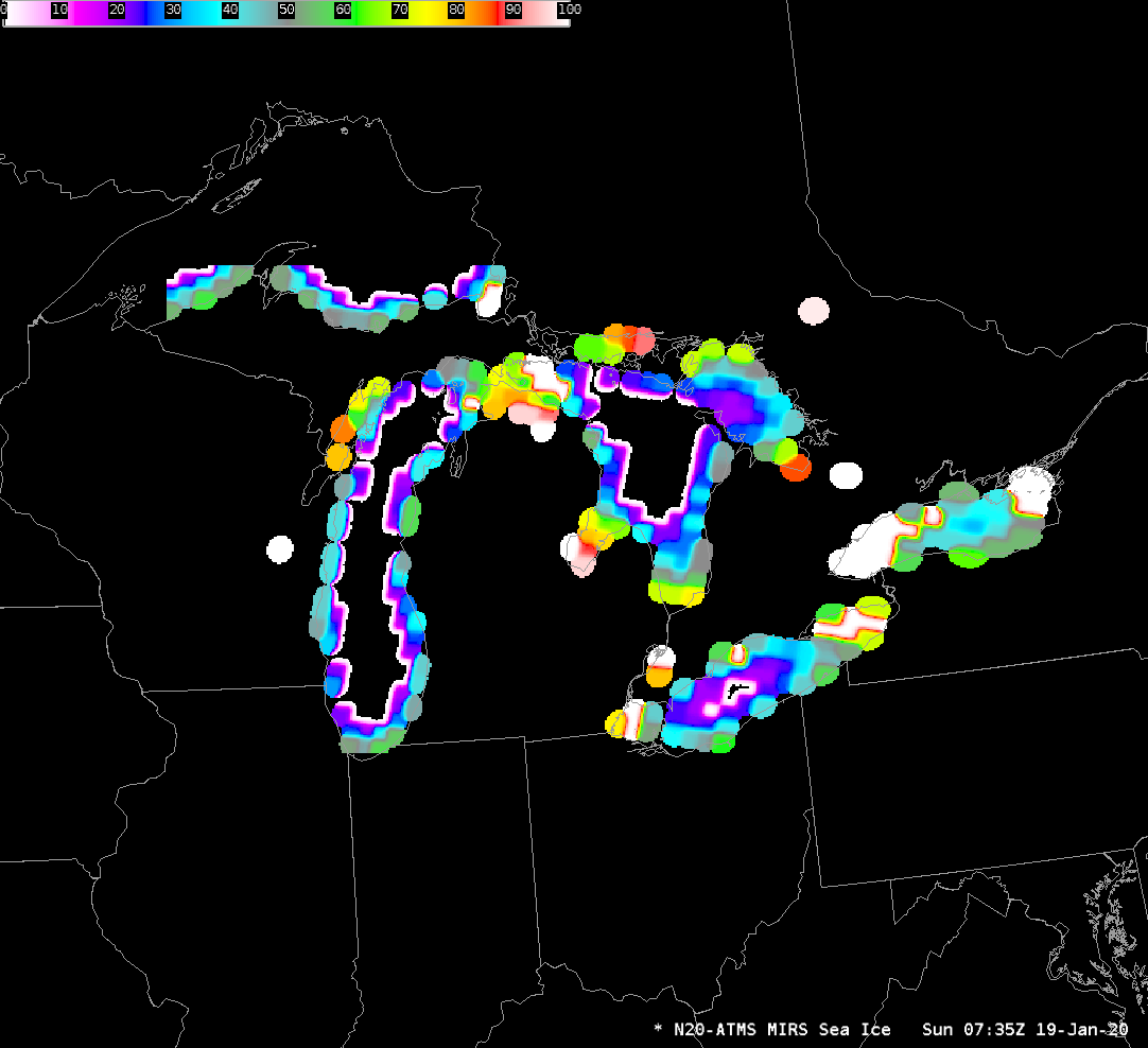
Gridded NUCAPS over the southeast United States
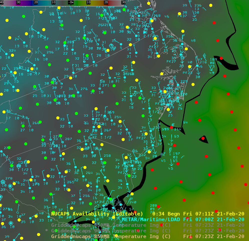
Snow fell over the southeastern United States, principally North and South Carolina, late on 20 February/early on 21 February 2020. This blog post, one in a series, investigates how gridded NUCAPS thermal fields perform in analyzing the rain/snow line. The snow totals are shown above, an image that was taken from this website... Read More