Gridded NUCAPS fields over the Pacific Ocean

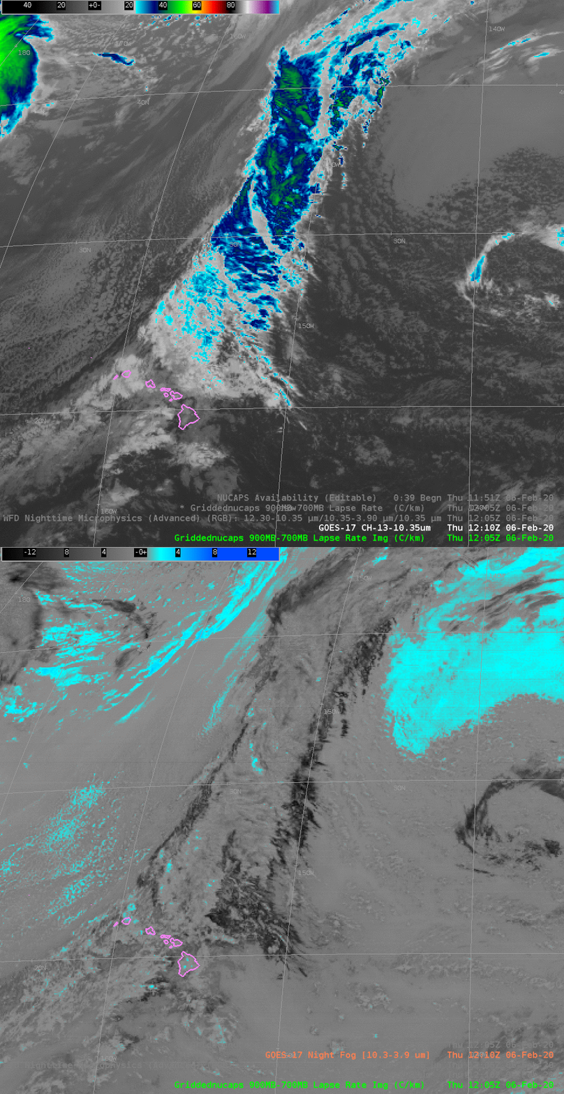
Band 13 ABI (10.3 µm) Imagery, and ‘Night Fog’ Brightness Temperature Difference (10.3 µm – 3.9 µm) at 1205 UTC on 6 February 2020 (Click to enlarge)
GOES-17 ABI Imagery on 6 February suggests the presence of a cold front over the Pacific Ocean northeast of Hawaii. The Clean Window imagery shows a flat region between 30º N and 40º N around 140º W. The Night Fog Brightness temperature difference shows a signal — cyan — in that region consistent with low stratus. The Night Microphysics RGB (shown here in a toggle with Night Fog Brightness Temperature) shows a strong signal there as well (with some noise that can be attributed to Loop Heat Pipe issues with the GOES-17 ABI).
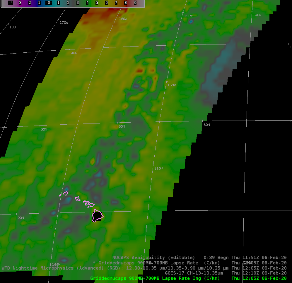
NOAA-20 overflew this region around 1200 UTC on 6 February (Click this link to see all NOAA-20 orbit paths). The Gridded NUCAPS field of the 900-700 mb Lapse Rate shows small values (around 2º for a temperature change, the darker cyan color in the enhancement), as might be expected over the stratus deck. Note also how the air mass is less stable in the cold air behind the front (yellow and orange in the enhancement to the west west of the front, green to the east of the front). Gridded NUCAPS data are created with all vertical retrievals. The toggle with NUCAPS Vertical sounding points (here), shows how the profiles that failed to converge (i.e., red and yellow points) can affect the gridded fields.


