Gridded NUCAPS fields are available in AWIPS
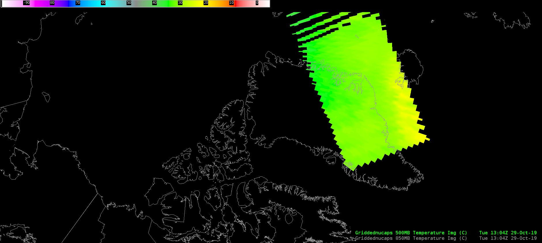
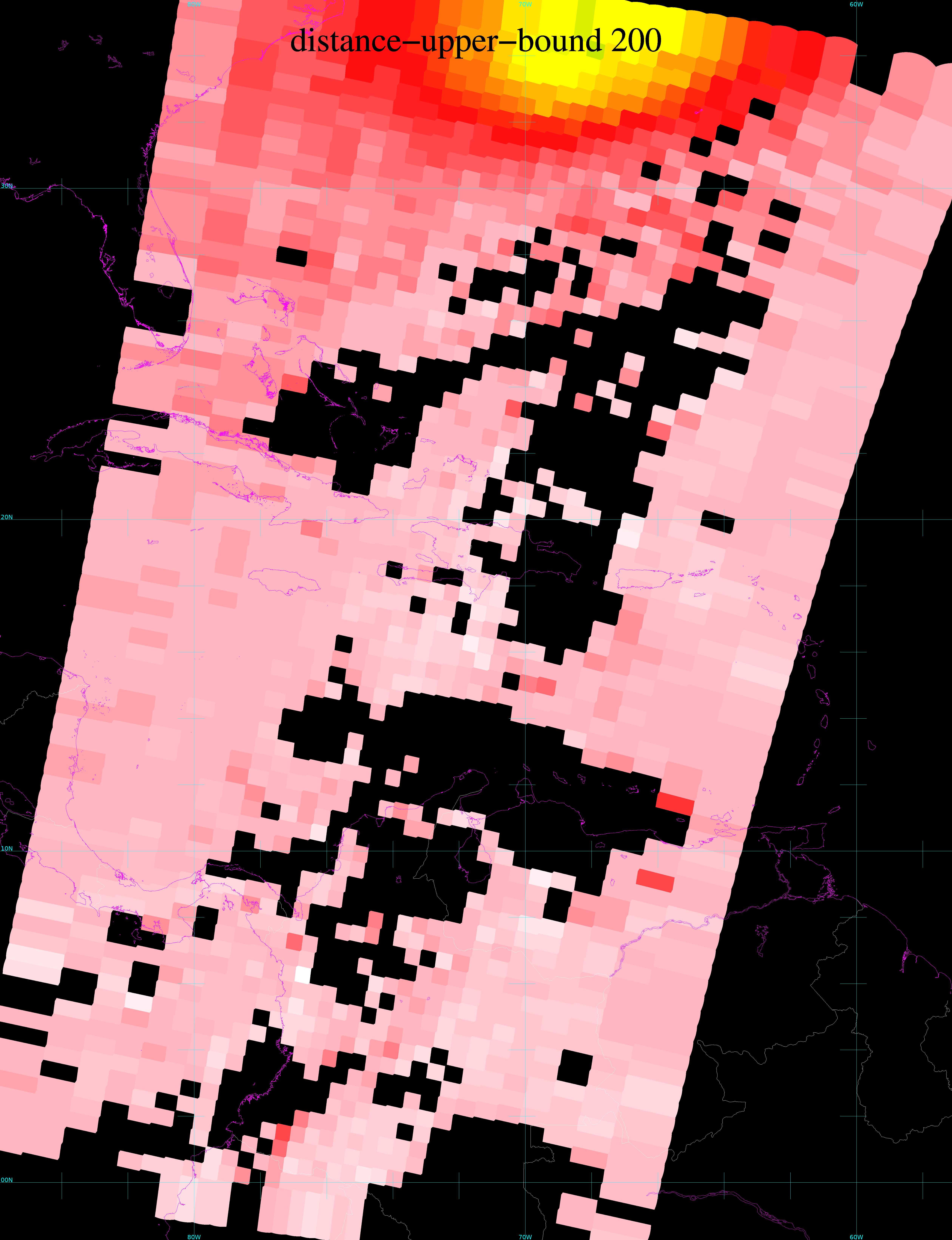
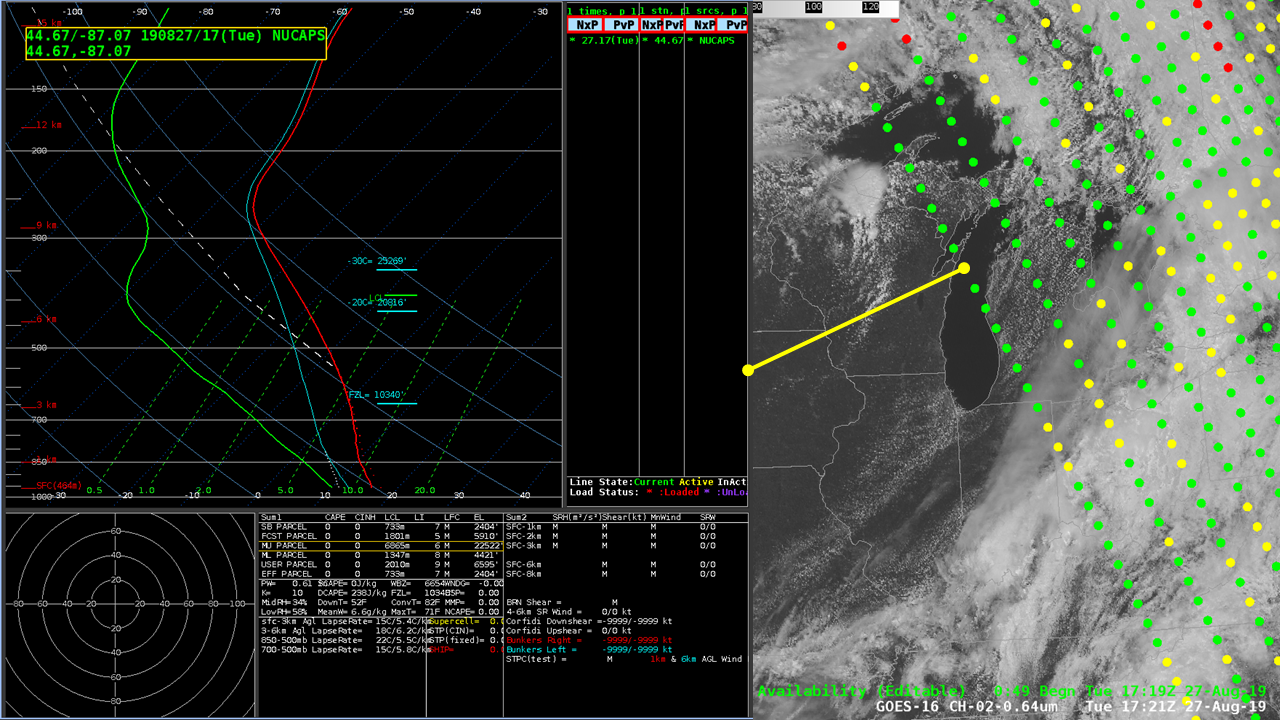
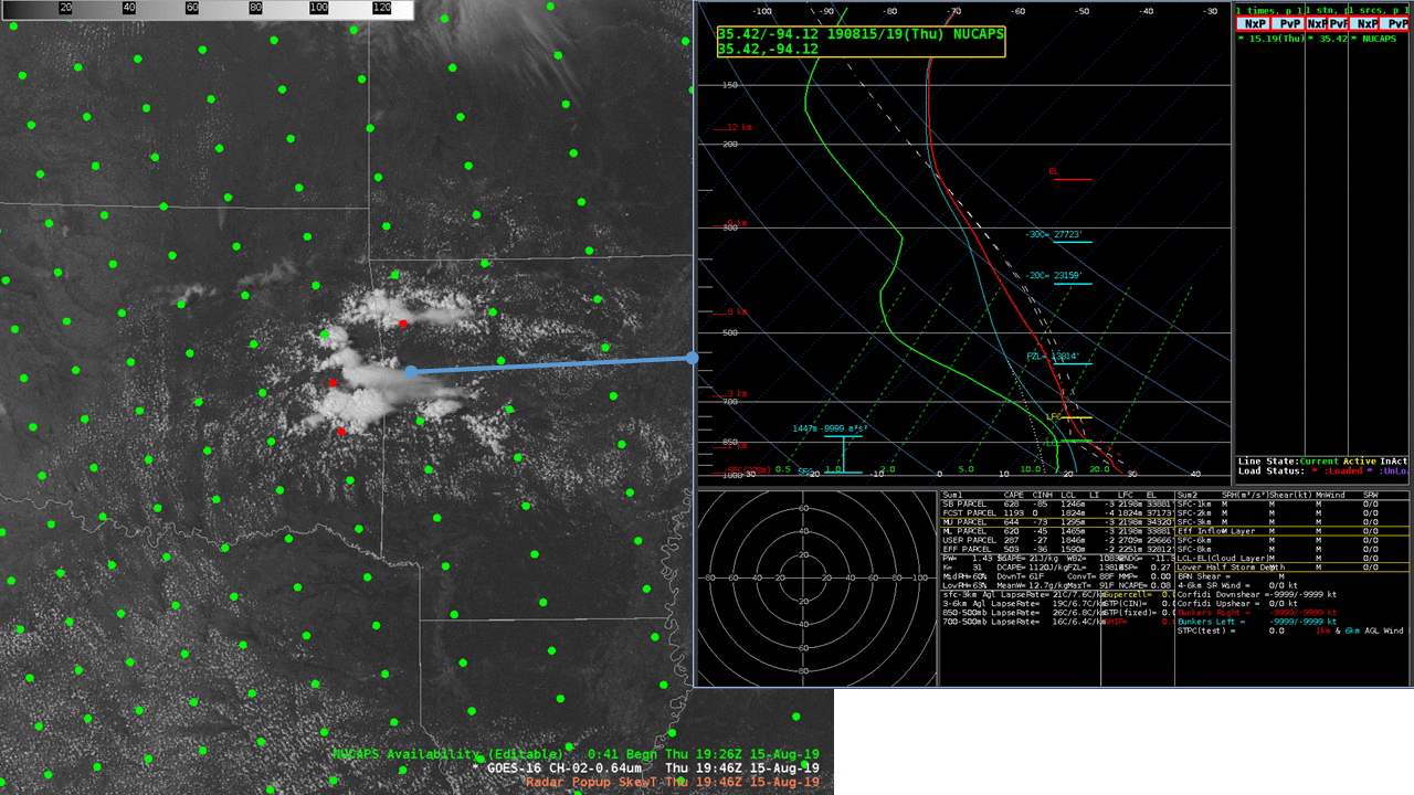
Gridded NUCAPS fields (Here’s a NASA SpoRT VLab page on the product) are now available in AWIPS, effective with AWIPS Build 19.3.1. The imagery above includes a swath of NUCAPS points (called up via ‘NUCAPS Sounding Availability’) under the Satellite Tab, and the ‘S-NPP and NOAA-20’ choice there (even though, at present,... Read More