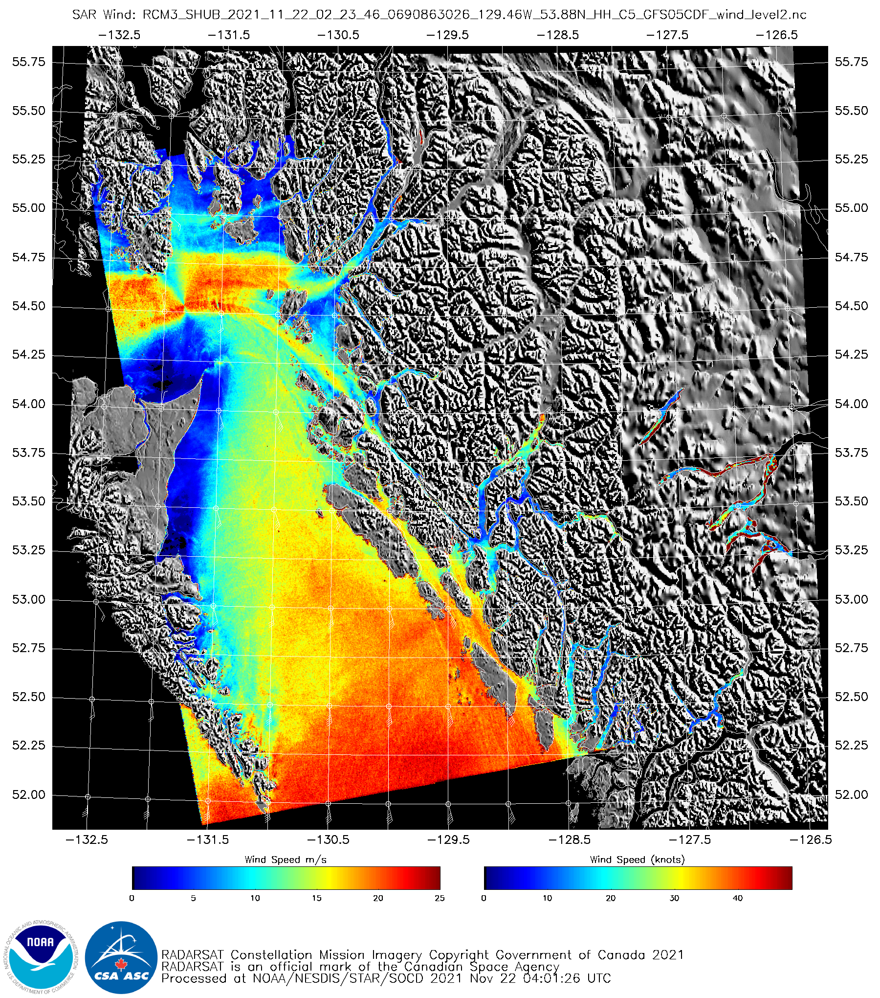
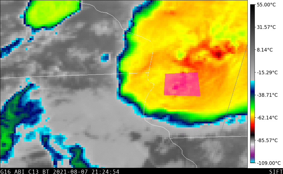
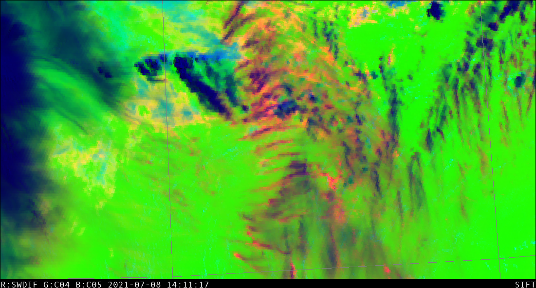
Ozone and the airmass RGB
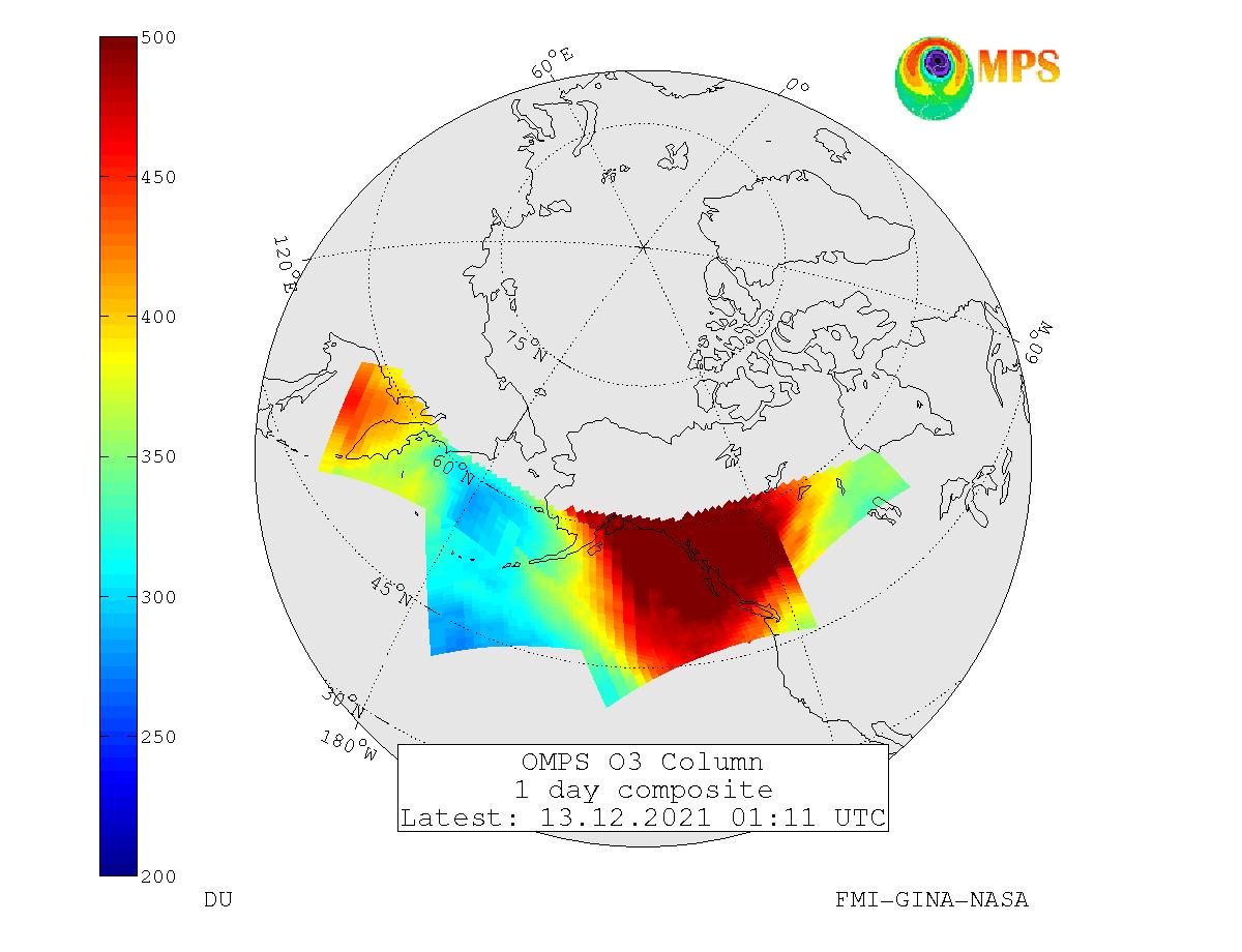
A GOES-17 airmass RGB, above, shows a strong feature in the Gulf of Alaska. It’s common to associate the orange and purple regions within that polar feature (that is accompanied by cloud features consistent with very cold air aloft) with enhanced ozone. What products are available online to gauge the... Read More