Transverse banding: a signature of potential turbulence
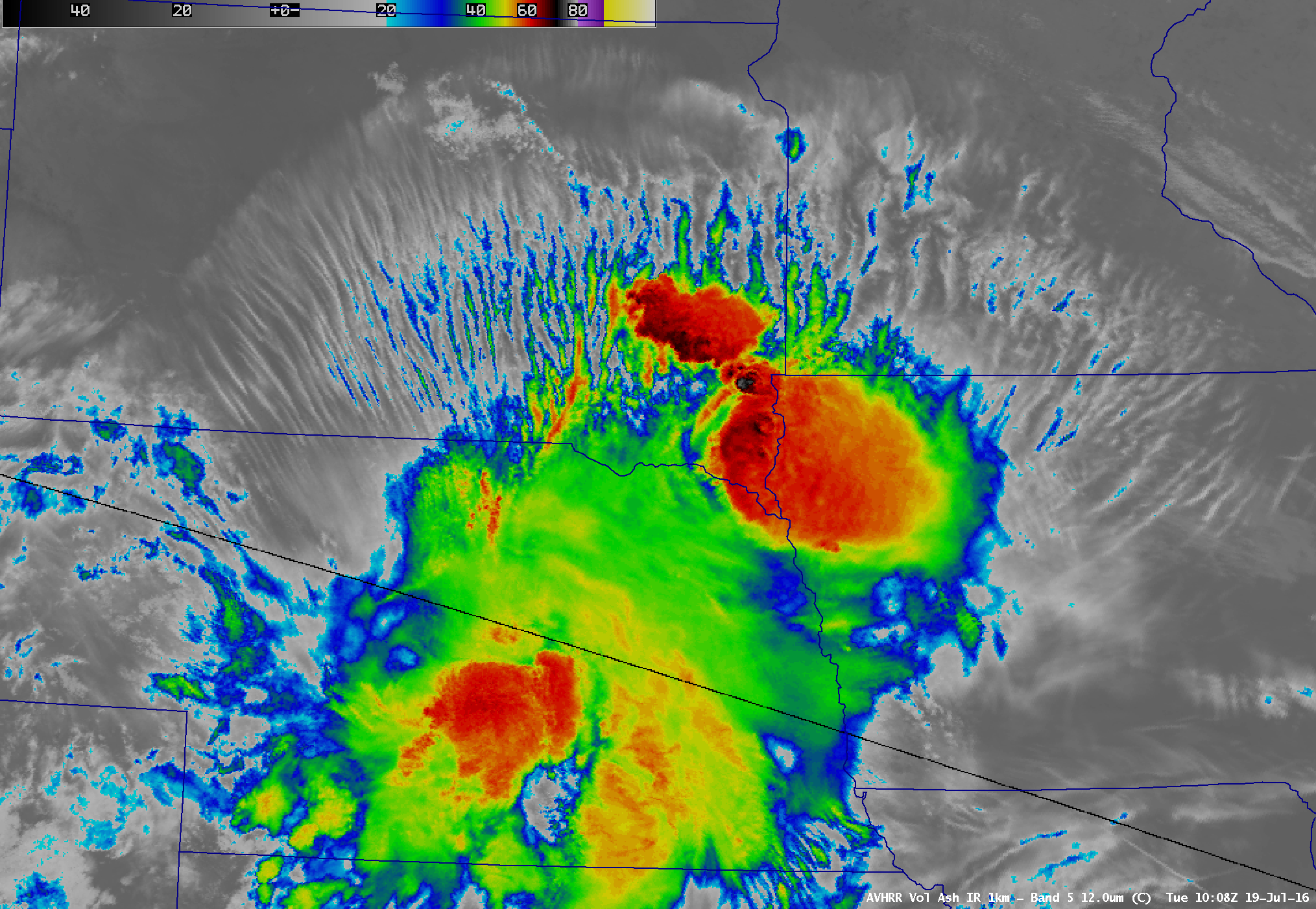
GOES-13 (GOES-East) Infrared Window (10.7 µm) images (above) showed the formation of tendrils of transverse banding along the northern semicircle of decaying mesoscale convective systems as they moved eastward across Nebraska and Iowa on 19 July 2016. Pilot reports of turbulence are plotted on the images, along with Turbulence AIRMET polygons issued at... Read More