Tropical Cyclone Kirrily in the Coral Sea
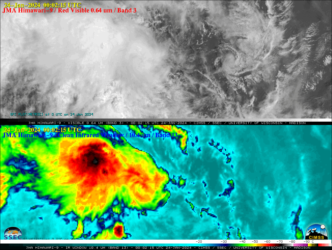
Target Sector (2.5-minute interval) JMA Himawari-9 AHI Red Visible (0.64 µm) and Clean Infrared Window (10.4 µm) images (above) showed Invest 90P as it intensified to become Tropical Cyclone Kirrily over the Coral Sea on 23-24 January 2024. Visible images showed multiple exposed low-level circulation centers, while Infrared images showed that deep convection was mainly developing west... Read More
