Category: Software
Polar2Grid version 3.0 has been released
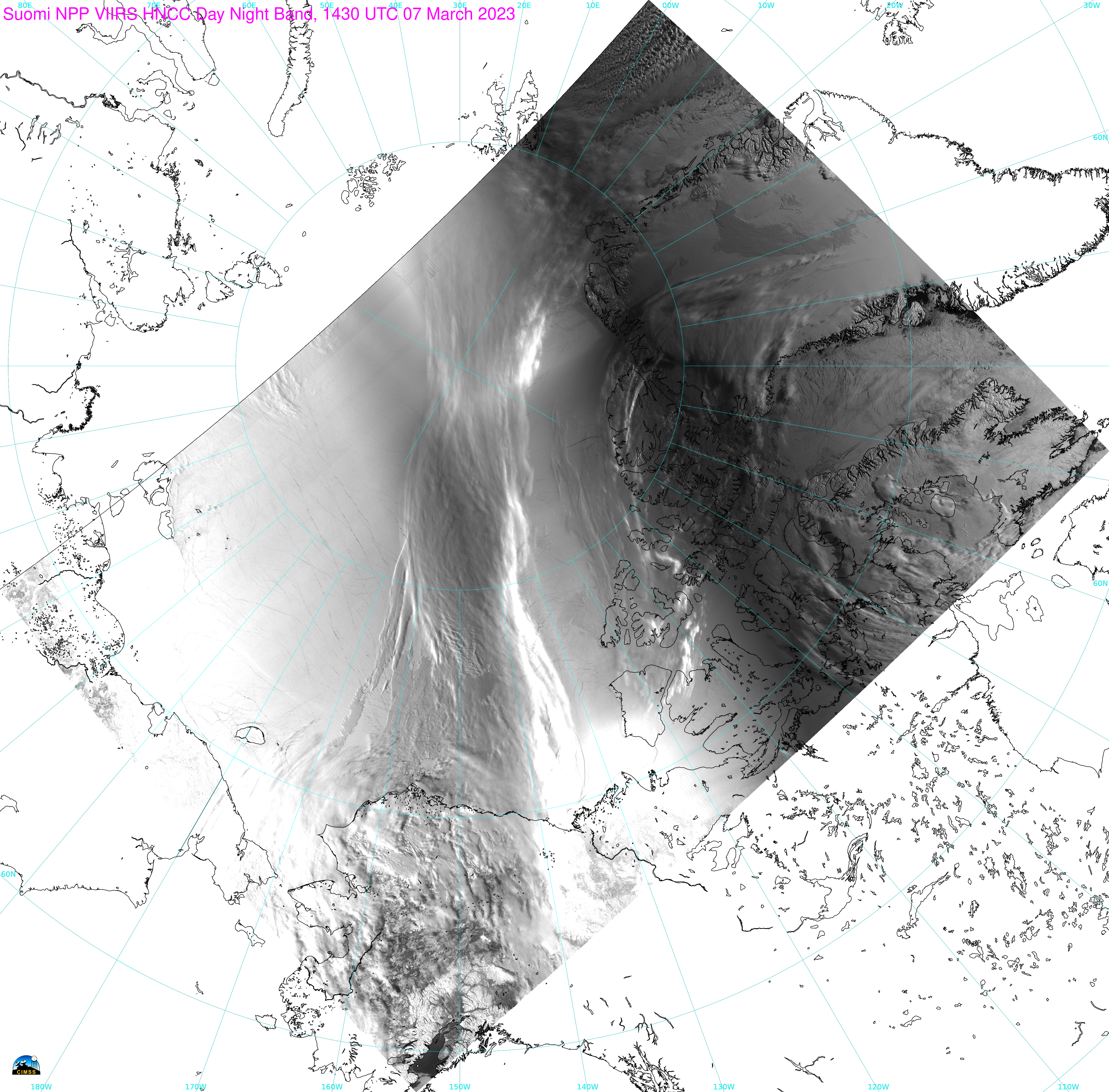
Note: NOAA-21 data used in this blog post are preliminary and non-operational. Imagery was created using Polar2Grid v3.0.The CIMSS Community Satellite Processing Package (CSPP) team has released Polar2Grid version 3.0, a software package that can be used (among many other things!) to create high-quality imagery from JPSS Sensor Data Record (SDR) files... Read More
Gridded GLM Software version 1.0 available
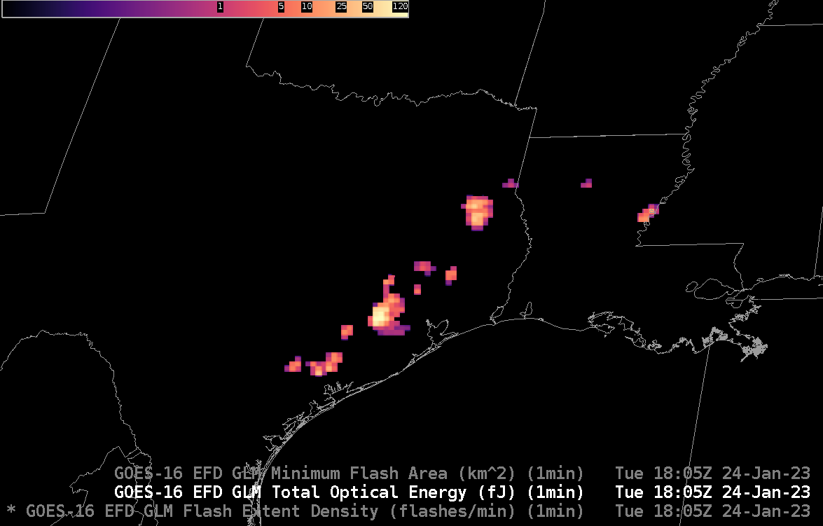
The CSPP Geo project released (linux-based) Gridded GLM software version 1.0 (available for download here) in December of 2022 (This previous CIMSS Blog post discussed a beta version of that software). CSPPGeo Gridded GLM software (Documentation is available here) takes Lightning Cluster Filter Algorithm (LCFA) files and converts the Flash/Event/Group data therein to gridded fields that... Read More
GOES-R Level 2 Products with geo2grid version 1.1
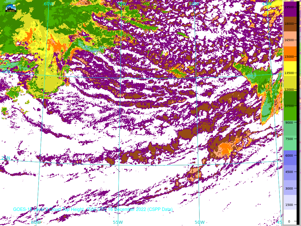
The latest release of the CSPPGeo software package geo2grid (version 1.1, downloadable here) includes support to display two Level 2 products from GOES-R: Cloud Top Temperature and Cloud Top Height. Cloud Top Temperature, above, created using data ordered and downloaded from the NOAA CLASS site, is at 2-km resolution (in line with the latest... Read More
