Hail swath in South Dakota
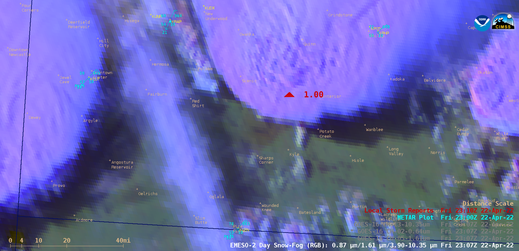
1-minute Mesoscale Domain Sector GOES-16 (GOES-East) Day Snow-Fog RGB and Near-Infrared “Snow/Ice” (1.61 µm) images (above) showed subtle signatures of a swath of hail covering the ground (initial storm report) — shades of red in the RGB images. and darker shades of gray in the 1.61 µm images — in the wake of a severe... Read More
