Heavy rainfall across Hawai`i (along with a Severe Thunderstorm Warning and a Tornado Warning)
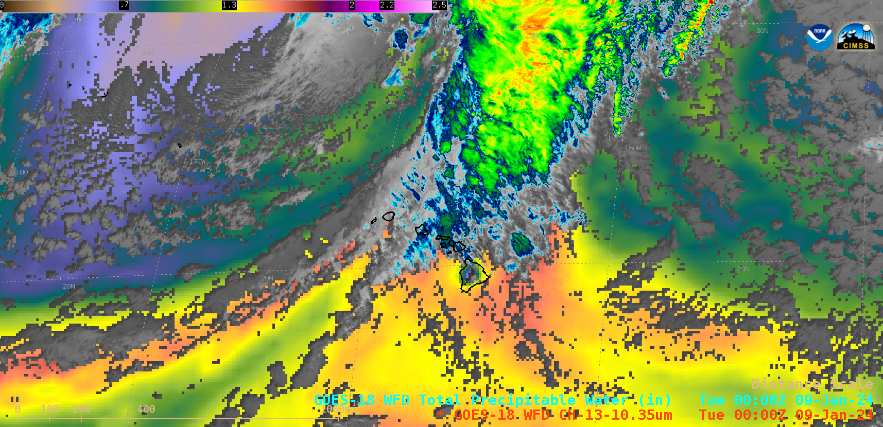
10-minute Full Disk scan GOES-18 (GOES-West) “Clean” Infrared Window (10.3 µm) + Total Precipitable Water (TPW) images (above) showed the colder clouds associated with rain showers (with isolated embedded thunderstorms) and the clear-sky TPW field in the vicinity of Hawai`i during the 08-09 January 2024 time period. Surface analyses depicted a cold frontal boundary — which became more... Read More
