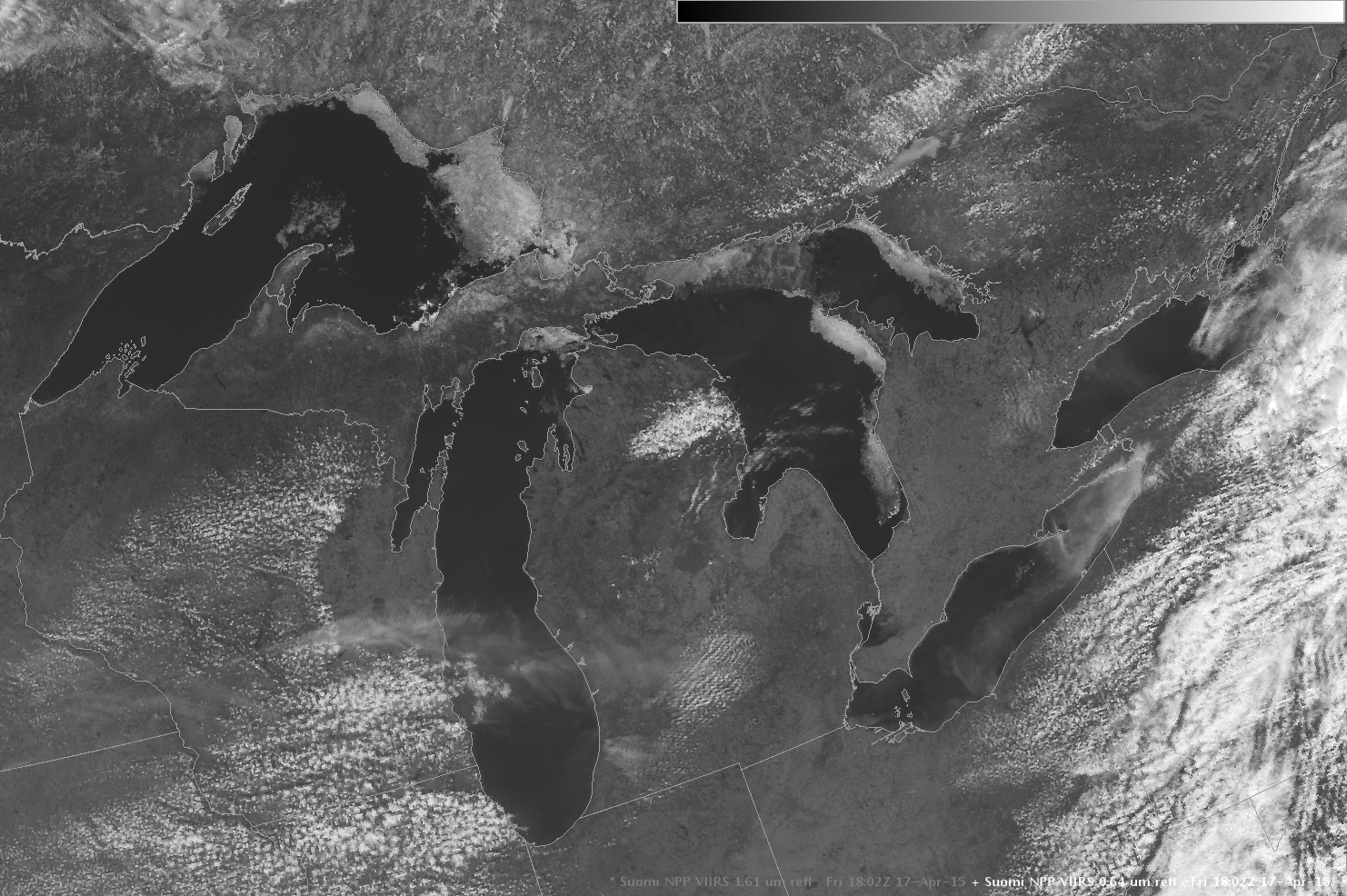
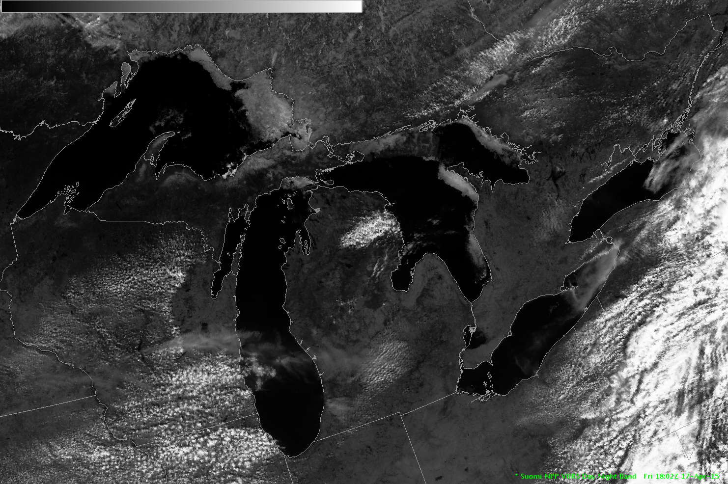
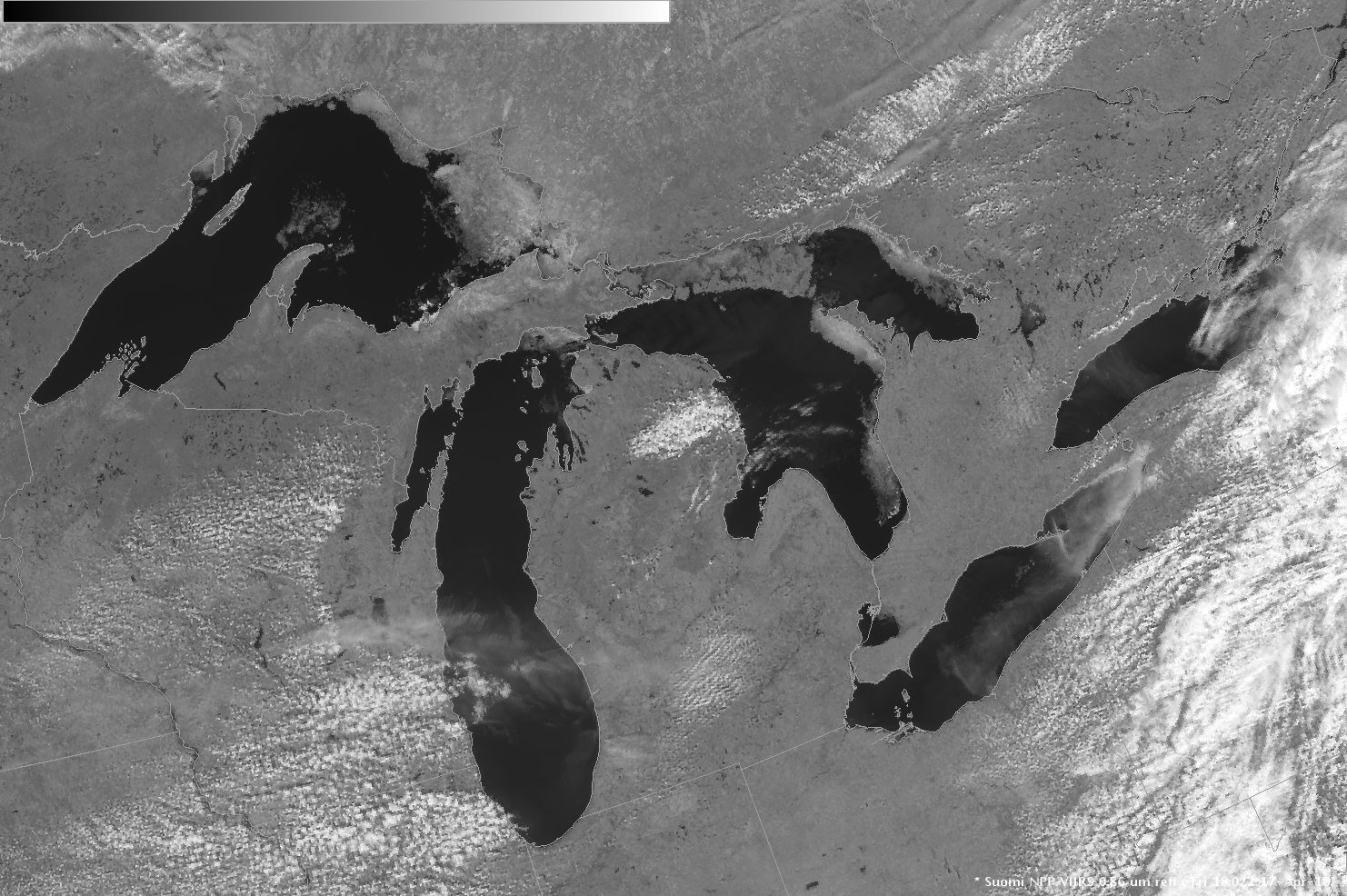
Ice over the Great Lakes
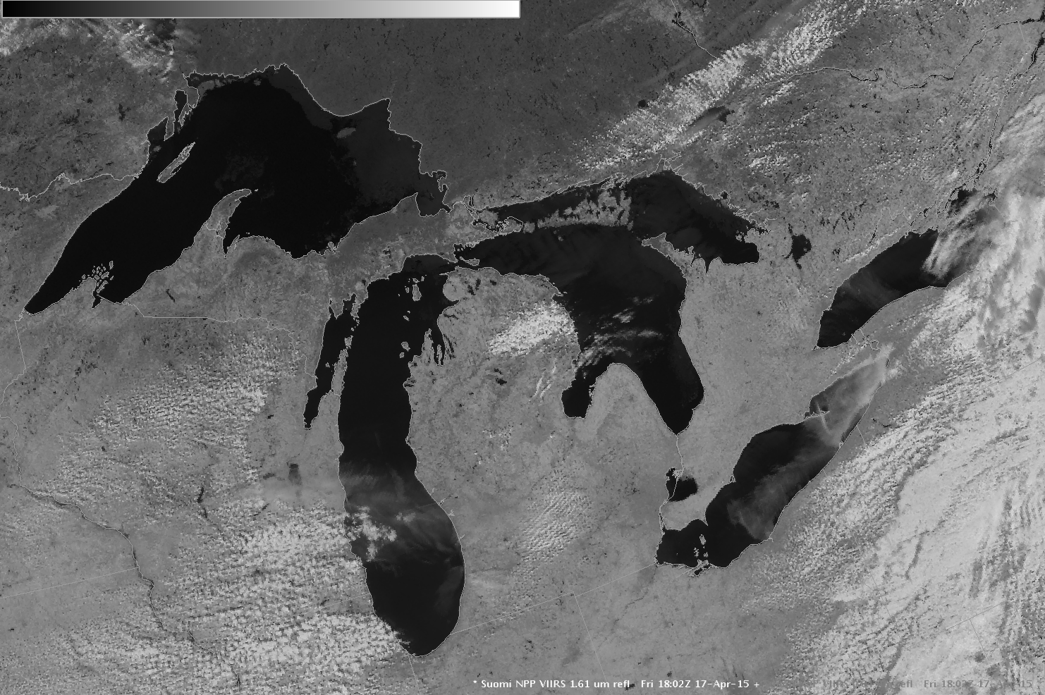
Visible Imagery over the Great Lakes on Friday April 17th showed mostly open waters over the five lakes, with regions that could be ice confined to coastlines of Lakes Superior, Huron, Erie and Michigan. The animation above is of Suomi NPP VIIRS visible (0.64µm and 0.70µm) and near-infrared (0.86µm) data.... Read More
