Major sandstorm in the Arabian Peninsula
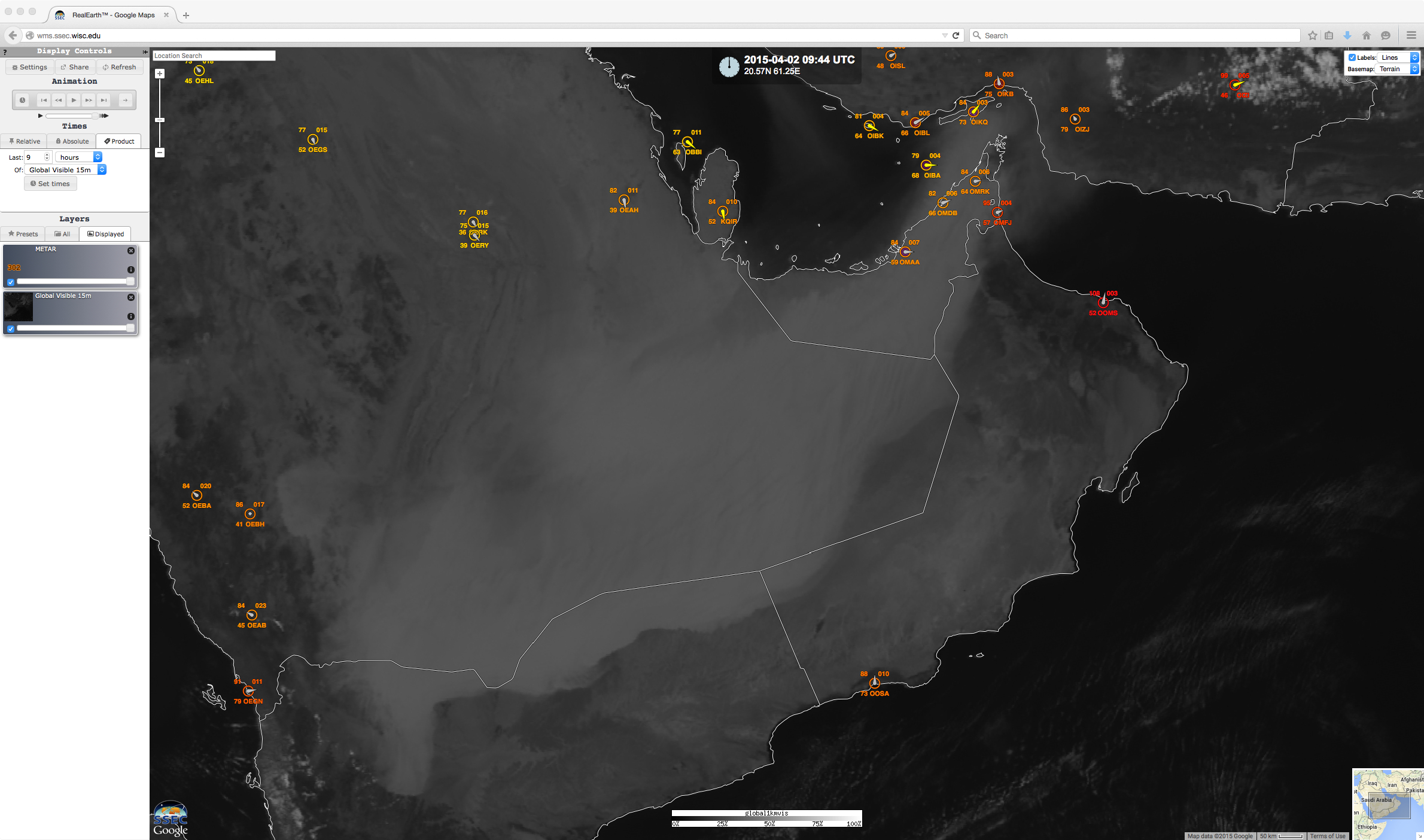
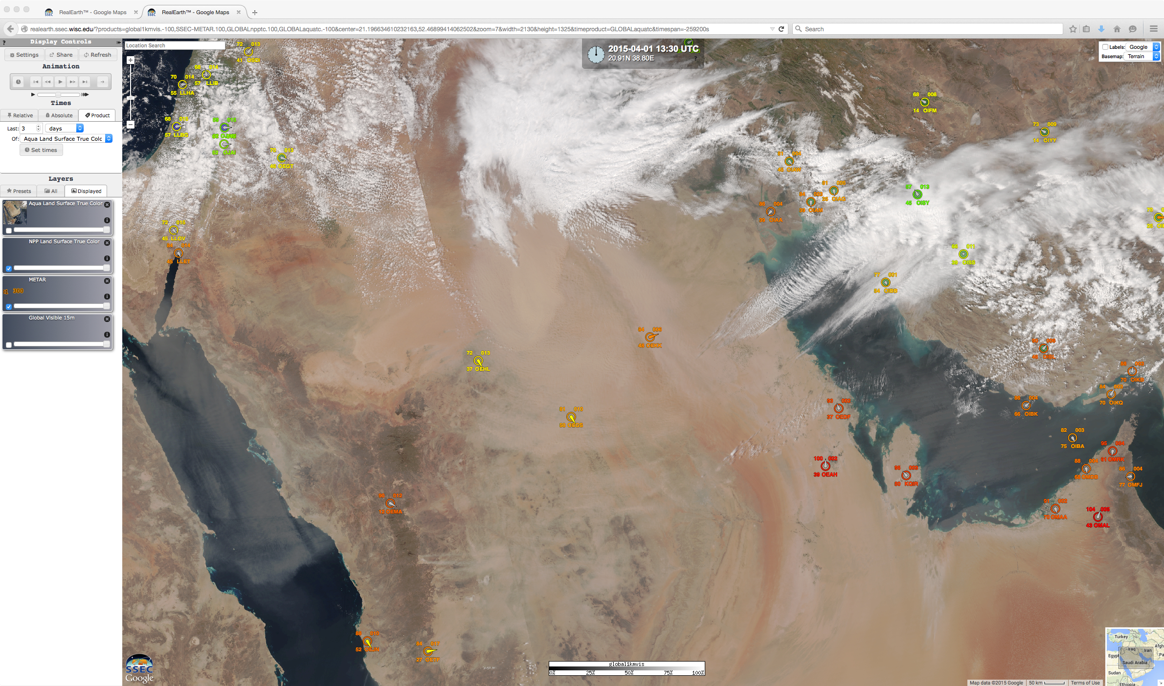
Visible satellite images from the SSEC RealEarth web map server (above; click image to play animation) revealed the hazy light gray signature of a major sandstorm that was advancing south-southeastward across the Arabian Peninsula on 02 April 2015. An Aqua MODIS true-color Red/Green/Blue (RGB) image (actual satellite overpass time was 10:20 UTC or 2:20 PM local time) is shown below — the dense cloud of airborne sand appeared as a lighter shade of tan.
A Suomi NPP VIIRS true-color image from the previous day (below) depicted the beginning phase of the sandstorm in the northern portion of Saudi Arabia, which consisted of a number of smaller plumes of blowing sand prior to consolidating into the large feature seen on 02 April.
The blowing sand reduced surface visibility to near zero at some locations, disrupting ground transportation, air traffic, and also closing schools. Visibility was reduced to 0.1 mile for several hours at Dubai International Airport (below), which is one of the world’s busiest in terms of volume of flights.
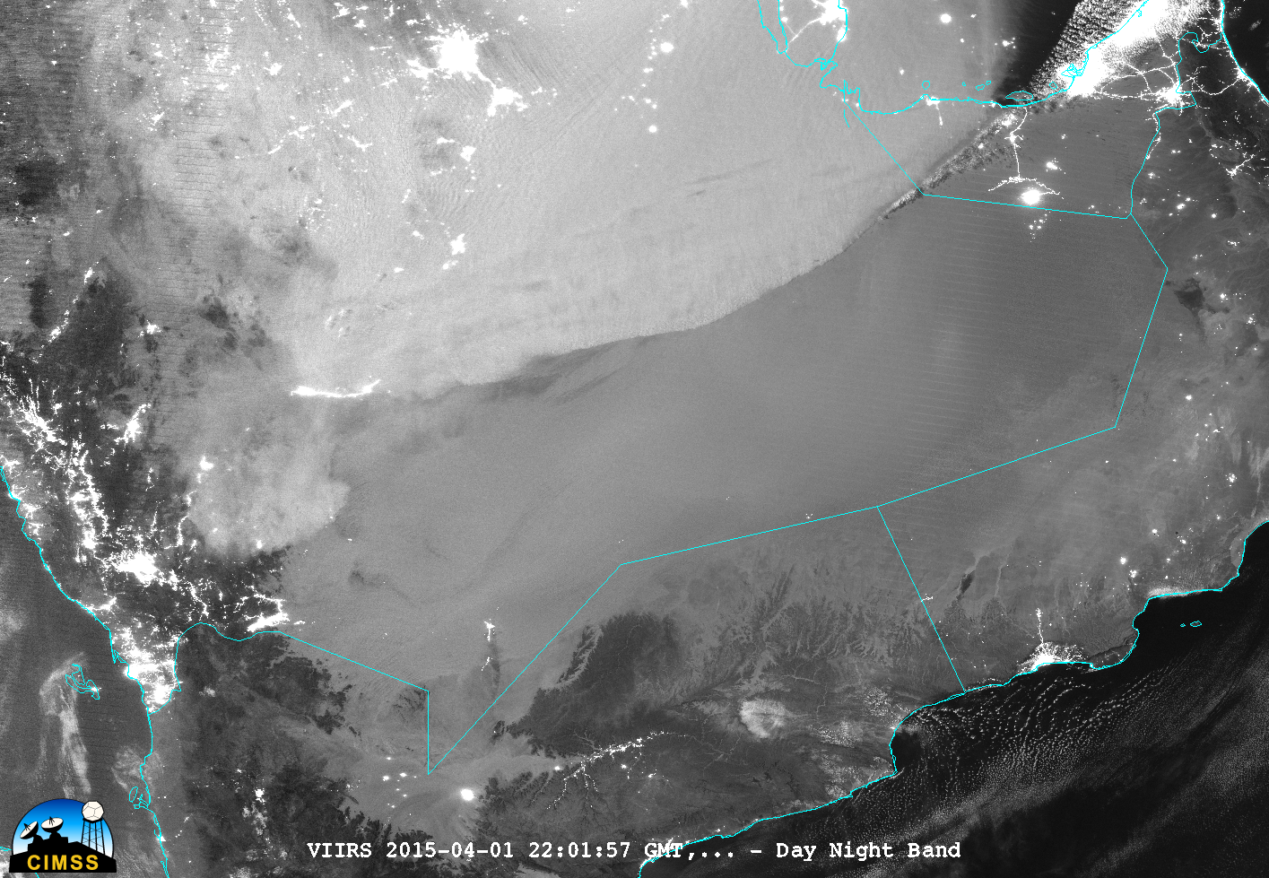
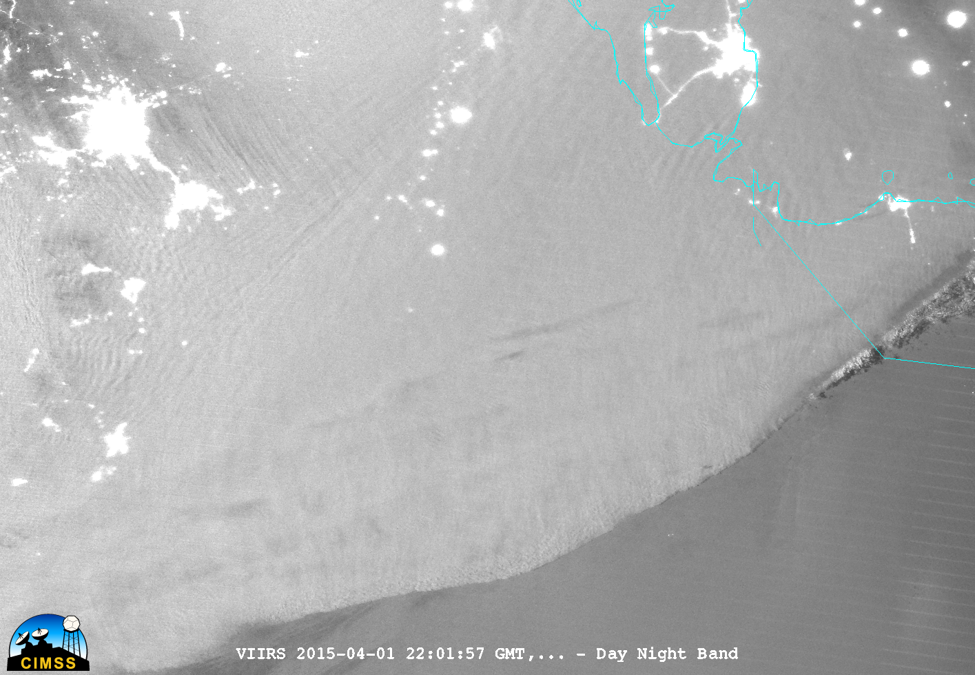
During the previous nighttime hours, McIDAS-V images of Suomi NPP VIIRS 0.7 µm Day/Night Band data (below; images courtesy of William Straka, SSEC) showed the arc-shaped leading edge of the sandstorm as it stretched from the United Arab Emirates across Saudi Arabia at 22:01 UTC or 1:01 AM local time. Since the Moon was in the Waxing Gibbous phase (at 98% of Full), it provided ample illumination for these “visible images at night”.


