Monitoring severe weather as it happens
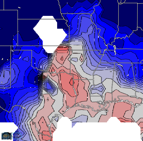
When NOAA’s Storm Prediction Center issues a High Risk of severe weather (below), people sit up and take notice. Are there easily accessible tools to monitor the state of the atmosphere in/around a region of expected severe weather?The toggle above shows products (early in the morning on 17 March — at 439 AM CDT) in RealEarth... Read More
