Tornado Outbreak in South Central United States
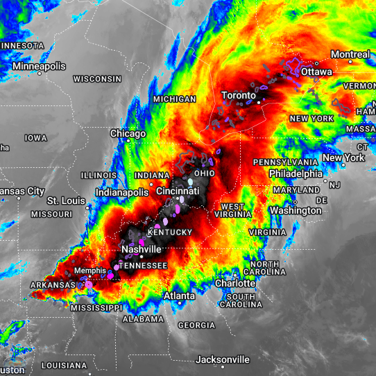
A large severe weather outbreak took place across the south central United States on Wednesday 2 April 2025. The NWS Storm Prediction Center (SPC) anticipated a significant weather event in the region, having predicted an enhanced risk of severe weather as early as Monday 31 March and a rare high risk the night before the event.... Read More