Assessing the freezing level with NUCAPS profiles
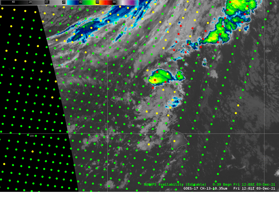
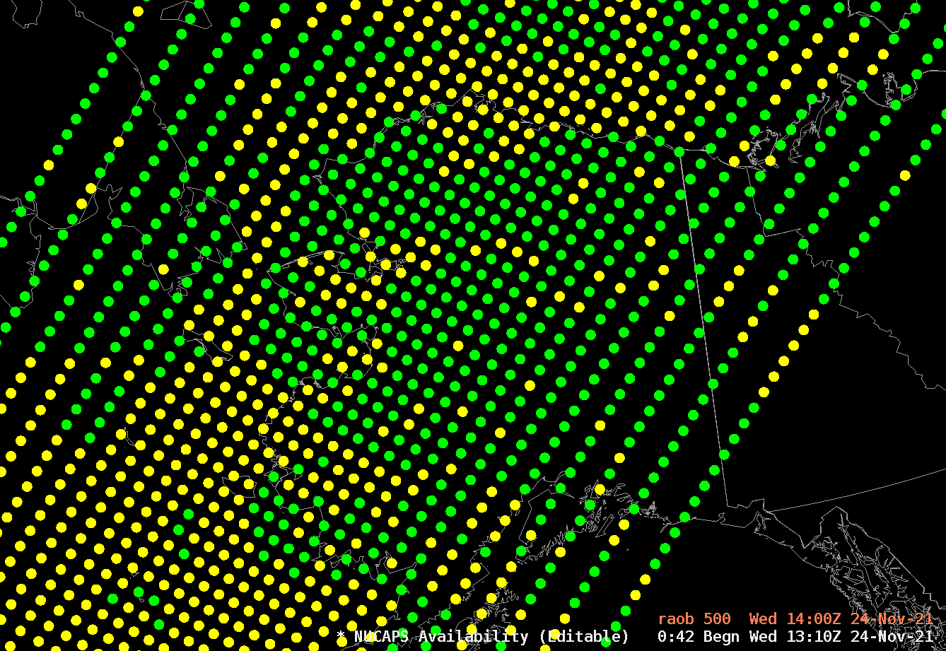
The highest peaks of the Big Island of Hawai’i are under Blizzard warnings as of early 3 December 2021, as shown in the screen capture below from the National Weather Service in Honolulu.The image above shows NUCAPS Sounding Availability in AWIPS over the central Pacific. A long swath of profiles was available from a... Read More