Himawari-8 and NUCAPS observations of an upper-level feature in the western Pacific
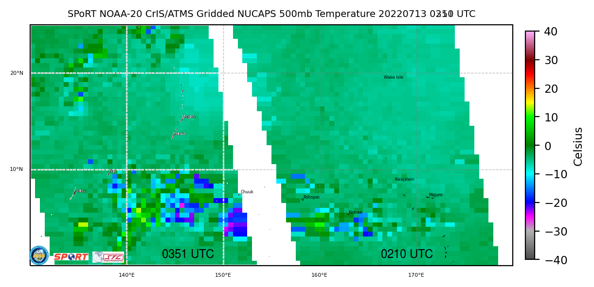
Himawari-8 Imagery, above (courtesy JMA, the Japan Meteorological Agency, from this site), shows a cyclonically rotating feature over the western Pacific, approaching the northern Marianas Islands by the end of the animation. Periodic weak convection is forming within the center of the circulation, with more widespread convection developing to its east.... Read More